

It’s been another warm day here across Southern New England! High temperatures were more indicative of August rather than early November, with highs largely in the 70s today.
But, arguably, the story of the day isn’t even the temperatures– it’s the end of our more than two-week-long dry streak.
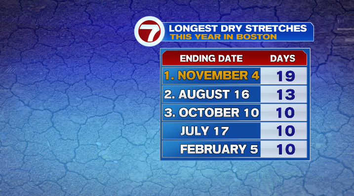
After days and days of no measurable rain in Boston and beyond, Mother Nature is trying to balance the scales with low pressure taking over the forecast.
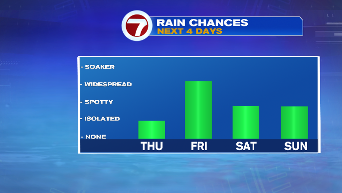
It starts with a slow-moving cold front that’s already bringing rain to the area. We’ll see some showers in the remainder of our Thursday, but the heaviest rain holds off until Friday.
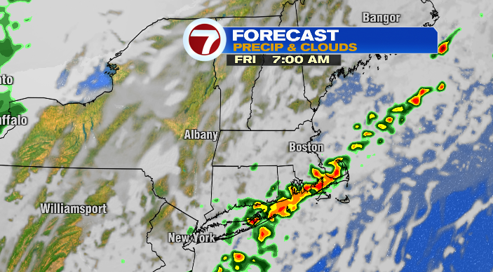
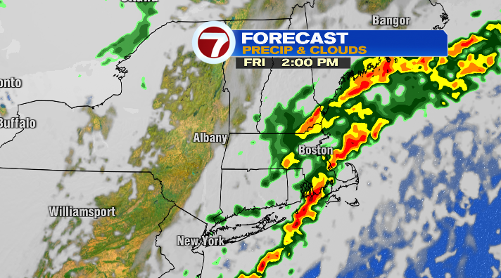
Tomorrow, the rain along this front will be heavier and steadier. It’ll be especially notable for southeastern MA — the Cape, Islands, South Coast & South Shore. Between tonight and Saturday morning, 2″+ of rain is possible, which has prompted a Flood Watch for Barnstable, Bristol, Dukes & Plymouth Counties. It’s worth mentioning that we could even hear a rumble of thunder during this time as well.
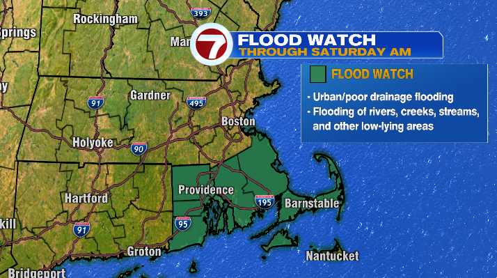
Expect rounds of rain, heavy at times, and even a rumble of thunder possible too.
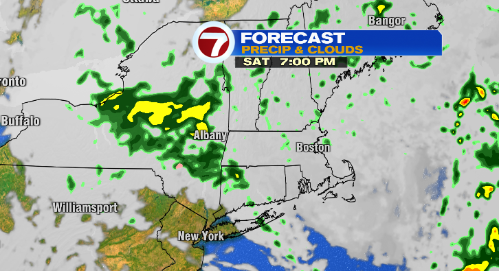
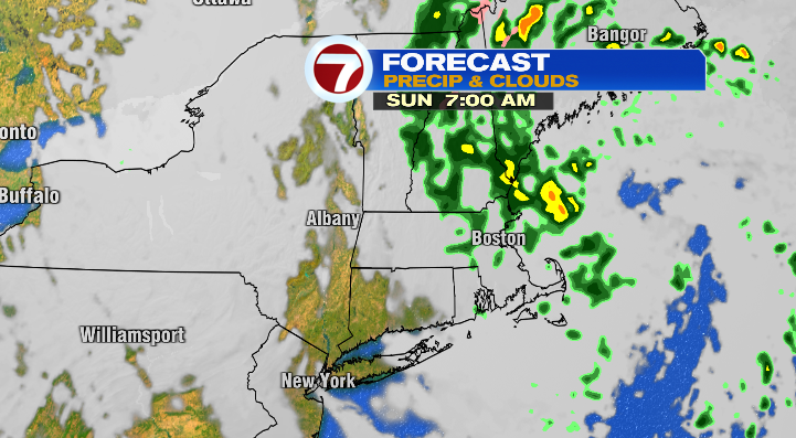
We’ll keep some lingering showers around early Saturday with the last of this front, but with low pressure in the upper atmosphere holding onto control of the forecast, we could see a few more showers move in Saturday night. Those will linger through Sunday morning as low pressure moves on to the east.
Aside from the switch from dry to wet weather, the other big shift you’ll notice is the abrupt shift in temperatures. While we stay very mild on Friday, with temperatures in the upper 60s and low 70s, it’s back to reality for the weekend. Highs will be right around average, in the mid 50s, both Saturday and Sunday.
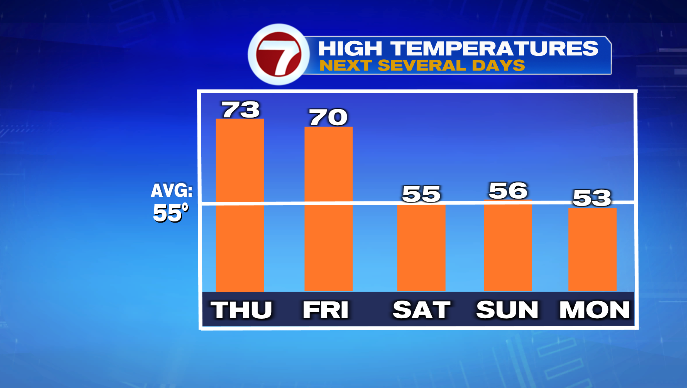
Though we’ll be sunnier on Monday as our upper low moves away, we will be breezy with gusts in the 20s, and cooler as well. Highs will be in the low 50s in the afternoon– the continuation of a much more seasonable stretch.