It was a beautiful Wednesday with a few more spots reaching 70°. This was the second day in a row Boston reached 70+. With today’s high of 71°, it is the warmest day so far this year.
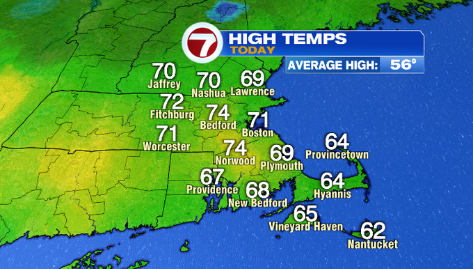
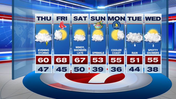
Now a few spots will reach 70 again tomorrow, but it will not be as widespread as today and even a few spots will be stuck around 50 tomorrow which will be quite a shock after today’s warmth.
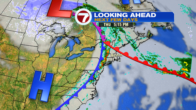
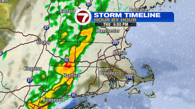
Tomorrow’s set up brings a few showers in the morning, followed by dry times through the afternoon with some peeks of sun. Then, we have another round of rain, but this time with embedded thunderstorms swinging in from the west ahead of a cold front.
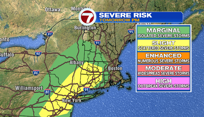
The Storm Prediction Center has placed parts of southern New England under a slight risk Thursday evening for severe thunderstorms with the main impacts being straight-line wind gusts and small hail possible.
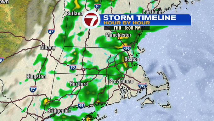
For timing, the line of strong thunderstorms enters western MA around 5pm and will advance eastward across southern New England. For Worcester County, we’re looking at the timing between 6-7pm, but the line will fizzle once it reaches the cooler air moving inland from the coast.
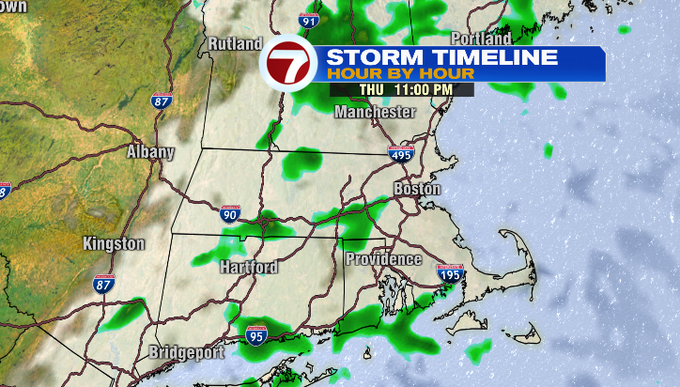
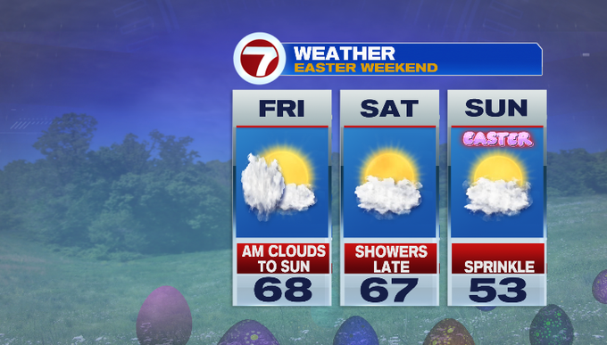
The showers clear out, and we’re dry in time for Friday for Opening Day at Fenway.
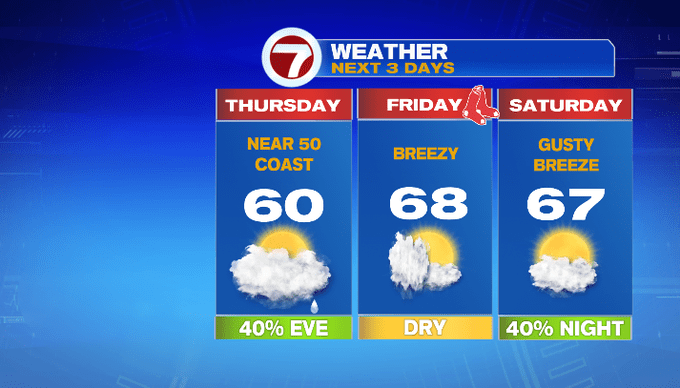

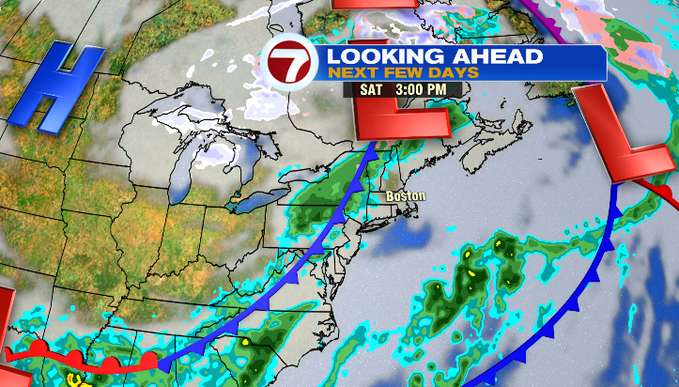
The bulk of Saturday is dry as rain holds off until Saturday night along a cold front. That front ushers in seasonable air in time for Easter, bringing our highs back into the 50s. A sprinkle is possible Easter Sunday.
Marathon Monday is mainly to partly sunny with highs in the 50s. Rain holds off until Tuesday with some spotty showers lingering Wednesday.