

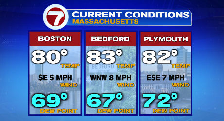
It’s been a warm, slightly sticky day across Southern New England!
We’re still keeping an eye on a few isolated showers and storms this afternoon and evening, though any rain should be short lived.
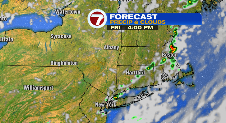
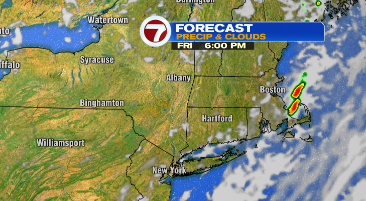
All of this is happening as a cold front moves through New England. While that could be a tiny bit disruptive for your Friday plans, what comes after the front will probably make up for it!
Cooler, drier air moves in behind the front, and that will lead to a stunner of a weekend!
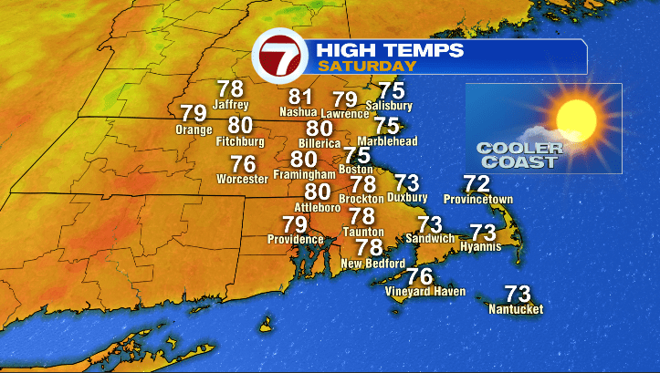
Let’s start with tomorrow morning, where we wake up mostly sunny with temperatures in the upper 50s. By the afternoon, inland cities will be in the upper 70s and low 80s, while the coast will be in the mid to upper 70s. Humidity drops significantly as well, leading to a crisp-feeling morning and a comfy afternoon.
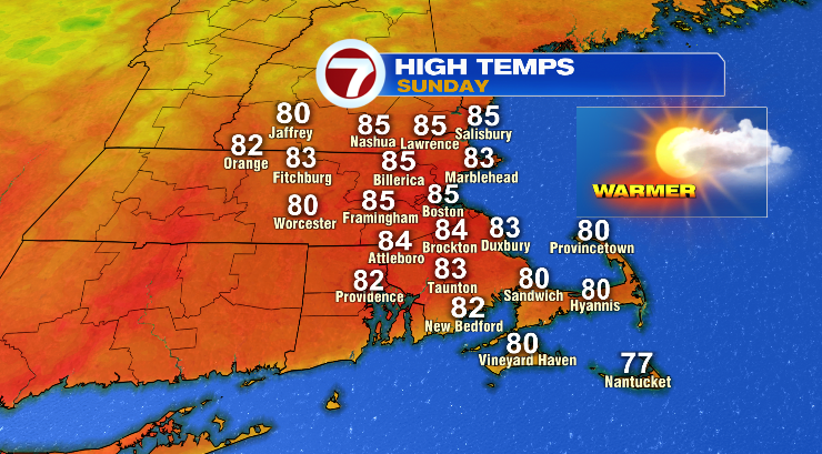
Sunday also starts out mostly sunny and in the upper 50s! The afternoon, however, is slightly different. Expect highs to get a little boost, most cities will be in the low to mid 80s (with a few exceptions on the coast in the upper 70s). Humidity will still stay low, so while it’ll be a little more of a mid-summer feel, it’ll still feel dry! It’ll be a breezy day as well.
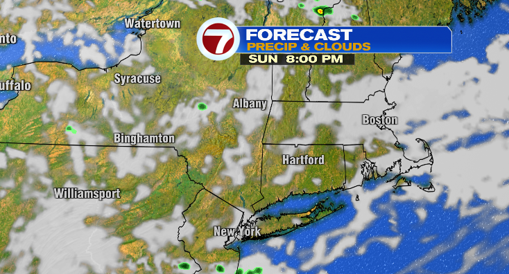
That said, you can expect clouds to increase a bit in the second half of the day. We could also see a stray shower near/after sunset as another front comes through.
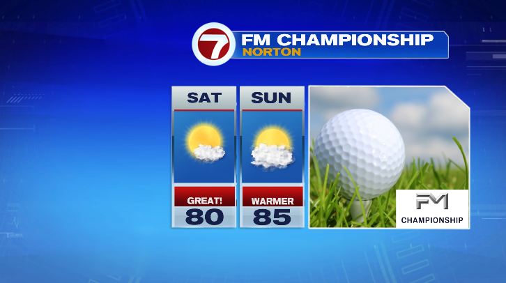
If you’re headed out to TPC Boston to enjoy the weekend rounds of the FM Championship, you’re in luck. The weather will be beautiful in Norton both days– just make sure you load up on sunscreen! The same goes for those headed to the beach!
Rain chances fade by Monday morning, and we’re back to a mix of clouds and sun, and temperatures in the upper 70s and low 80s. The pattern becomes more unsettled after that, however, with shower chances Tuesday through Thursday!