

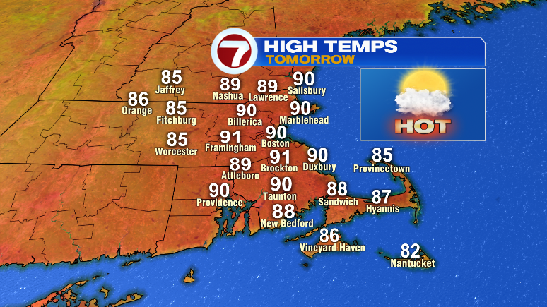
Happy Saturday! We had some spotty severe weather this afternoon and evening, but generally things will wind down through 10-11 p.m. Your Sunday looks drier, bright and still plenty hot.
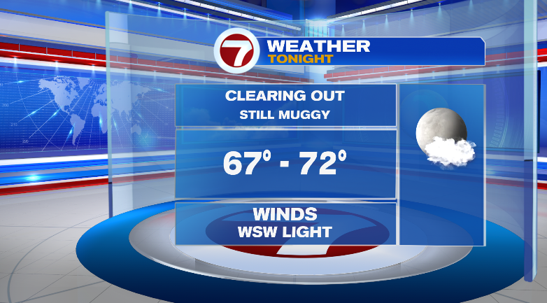
First, overnight it’ll be very muggy as clouds clear out. It’ll be similar to last night: upper 60s, low 70s with lots of humidity still.
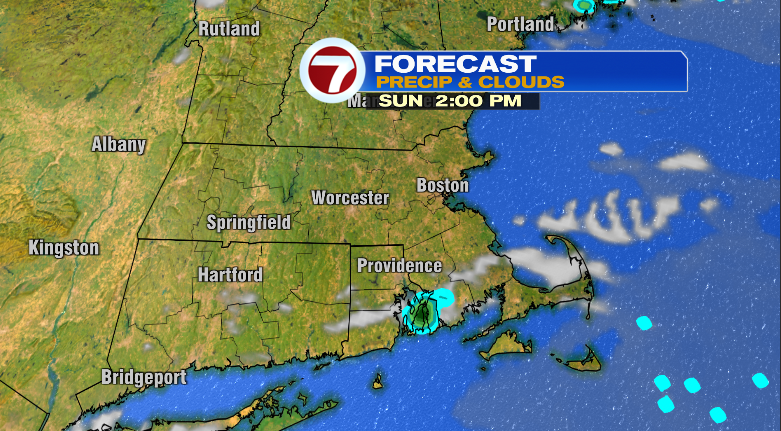
Sunday looks partly to mostly sunny with a very, very low chance for a spot shower from 10 a.m. to 4 p.m. Again, most of us won’t see a drop.
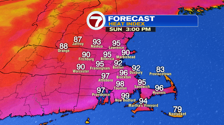
It’ll be very humid during the first half of the day, but into the afternoon and evening the humidity will drop. Highs will still be hot in the upper 80s and low 90s. That will still feel like the mid 90s in the afternoon.
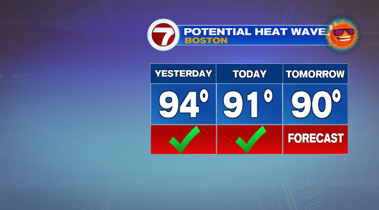
If Boston-Logan reaches 90 degrees or higher Sunday afternoon, that’ll make it an official heat wave!
Overall, it’ll be a nice day to head to the beach or pool.
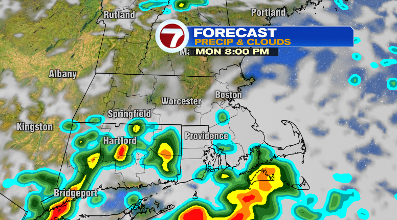
Monday looks not humid and warm with morning temperatures in the 60s and highs in the upper 80s. We can’t rule out a spot storm in the evening with chances right now highest south of the Mass Pike.
Tuesday won’t be overly humid with mostly to partly sunny skies and a low chance for an isolated storm. Wednesday looks great. Not humid and warm in the mid 80s; slightly cooler. Thursday we’ll reach the low 80s with some spotty storm chances. Friday looks bright, breezy and warm in the low 80s. Saturday will be cooler near 80 with lots of sun. Stay tuned!