

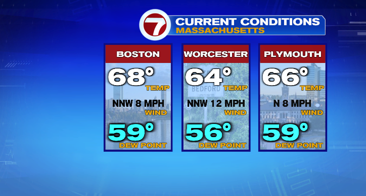
Good morning and happy Labor Day Weekend! We’re starting out in the 60s with a mix of clouds and sun. While most of this three-day stretch stays dry, we do have a little rain to track.
That rain arrives later this afternoon in the form of a few spotty showers, largely in central Massachusetts. We could have a rumble of thunder as well, but for most it’ll just be a few raindrops.
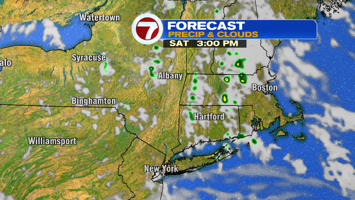
Any rain will be short-lived, so don’t let it keep you inside! Just be aware that you may need to keep the umbrella close if you really don’t want to get wet.
Temperature-wise, we’ll be below average with highs in the upper 60s/low 70s for the coast, and low/mid 70s inland.
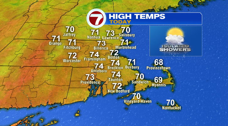
For reference, we should be in the mid to upper 70s this time of year… so while it’s not a massive difference, it’ll certainly feel a little more like late September.
Tomorrow is similar– we may have a shower or two in the morning and clouds as well, but we’ll see more sunshine in the afternoon.
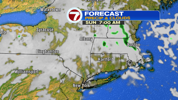
Temperatures stay below average– in fact, they fall a degree or two from Saturday’s highs. Paired with very low humidity, it’ll really feel like a fall day!
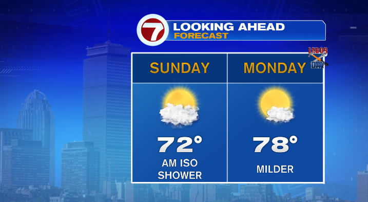
Monday is the most summerlike of the three. We’ll be mostly sunny for Labor Day, with high temperatures in the mid to upper 70s. Overall, it’ll be a comfortable, dry day.
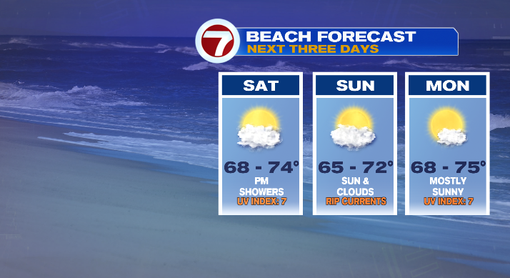
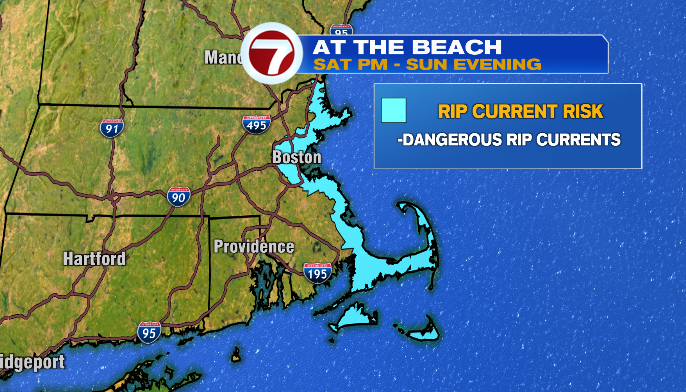
If you want to go to the beach but haven’t picked your beach day just yet, I’d put my vote in for Monday. That’s not only because of the warmer weather and sunshine, but tonight through Sunday night we do have a risk of rip currents, especially for east-facing beaches.
If you happened to take an extra day off on Tuesday, you’re in luck (unless you wanted a gray day, I suppose). We’ll stay seasonable with highs in the mid to upper 70s with plenty of sunshine.
Our next chance of widespread rain isn’t until Wednesday evening.