

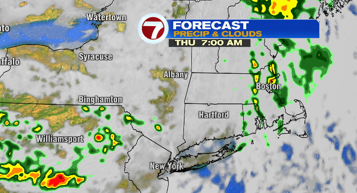
We’ve reached meteorological fall, and dare I say, it’s felt a bit like the season so far today. We’ve been relatively cloudy with below-average temperatures. It hasn’t been a soggy day, but tonight will be a different story.
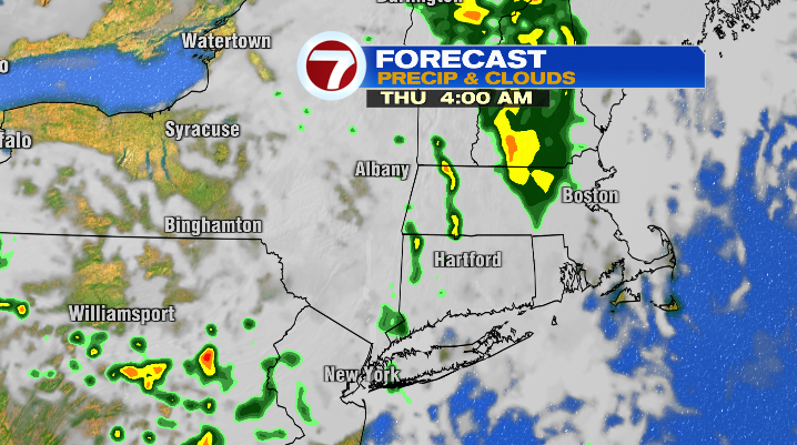
Low pressure creeps toward New England later tonight. A warm front moving in after midnight will bring us scattered showers and storms early Tuesday morning. Keep this in mind if you’re an early-morning commuter, as we could have downpours largely before 9AM.
We get a little break from our scattered precip during the end of the morning and early afternoon, but could see an isolated shower or storm in the late afternoon/early evening. High temperatures tomorrow will be in the upper 70s, and it’ll be a relatively muggy day as well.
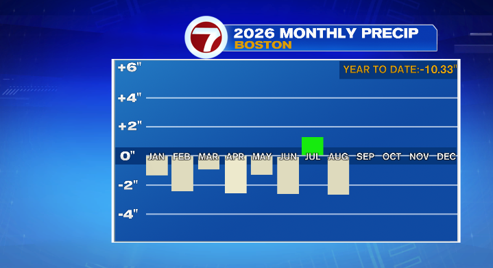
Considering August was (yet another) below-average month for precipitation, a bit of rain to start September isn’t such a bad thing.
Especially considering the timing isn’t too shabby for anyone looking to be active outdoors for Labor Day Weekend.
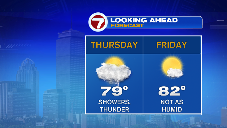
We do trend drier on Friday, though the chance of a shower isn’t zero. It is, however, relatively low. The day will be partly sunny with temperatures in the upper 70s and low 80s for most. It won’t be a crisp feel, but humidity will go down significantly compared to Thursday.
Digging into the long weekend: Saturday is somewhat similar to Friday. We’ll be partly sunny with the chance of an isolated shower or two in the second half of the day. The difference, however, is that temperatures will be cooler, with most areas only hitting the low to mid 70s.
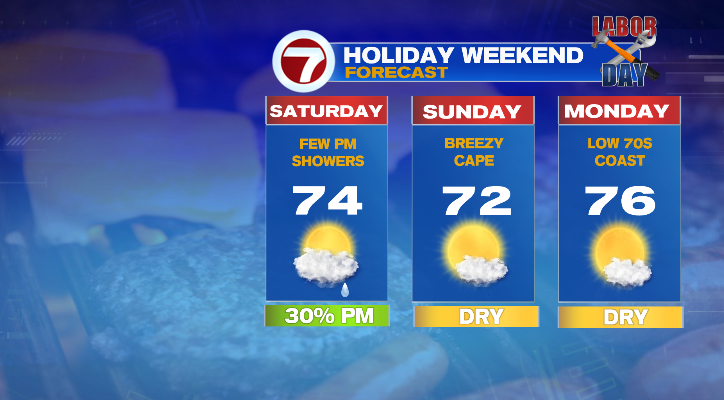
We’re sunnier and drier, but even a few degrees cooler (largely low 70s) for Sunday. We’ll have a dry feel to the air as well.
We’ll stay mostly sunny and in the 70s on Labor Day! Highs will be mainly close to average (mid to upper 70s) inland, while we’ll be a few degrees cooler along the coast.