A little mixed bag of everything out there this morning…
- South of Route 44, the Cape, and Islands waking up to scattered showers with even some heavier pockets
- South of the Pike but north of Route 44 waking up to cloudy skies and maybe a sprinkle
- Merrimack Valley and Essex County waking up to Patchy Dense Fog
- The Sea Coast and Southern New Hampshire have a Dense Fog Advisory for widespread visibility below 1/4 mile
- Areas north and west of 128 waking up to clear skies and chilly temperatures… in the 30s!
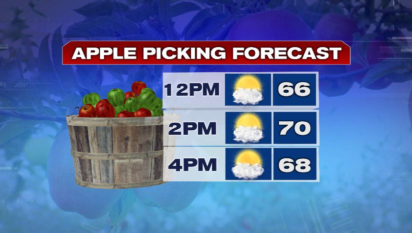
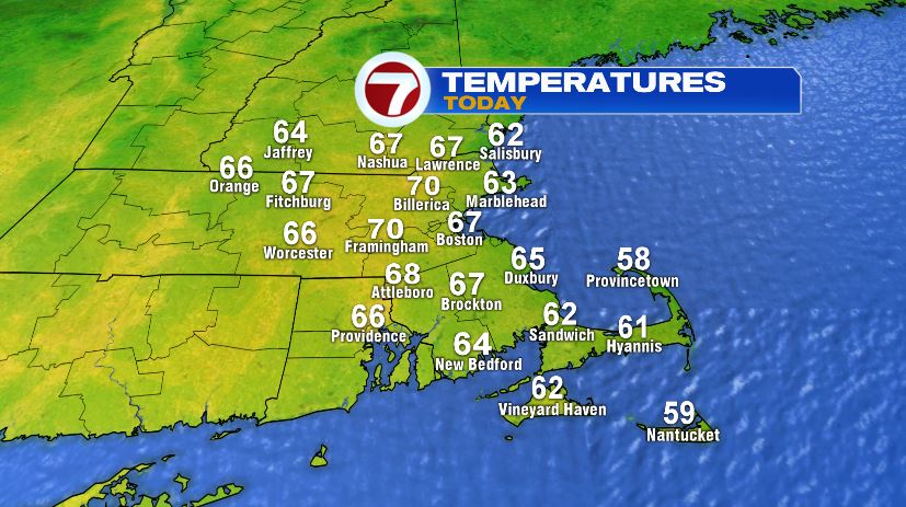
We’ll all come together this afternoon with partly cloudy skies and mild temperatures. A few inland spots could touch 70° but expect widespread upper 60s with low to mid 60s on the coast. If you’re off today with the kids, it will be a great afternoon to spend at the apple orchard or pumpkin patch.
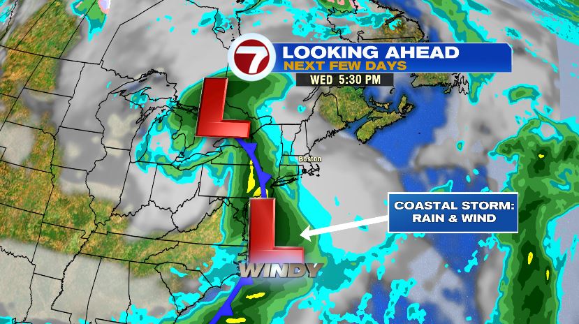
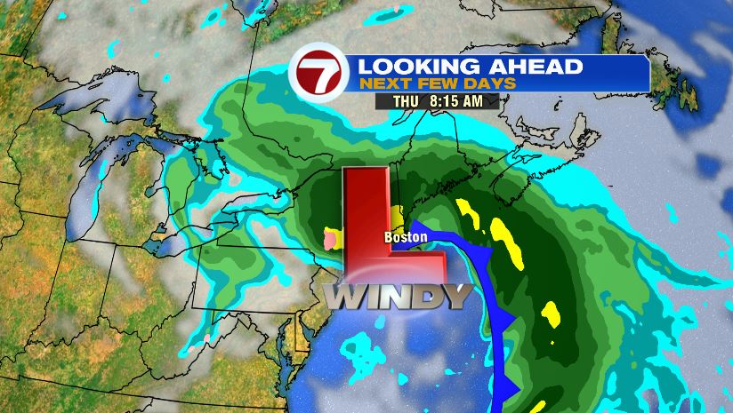
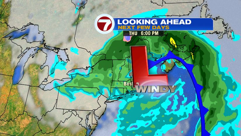
The weather is quiet this afternoon and Tuesday and even most of Wednesday. Then late Wednesday, big changes as another coastal storm moves toward New England. Watch the timeline below. Wednesday is dry until after dinner time but then we’ll watch two areas of low pressure merge over New England. The southern storm is more of a coastal storm which will bring rain and wind to the area. The rain could be heavy at times and the wind strong, especially through Thursday.