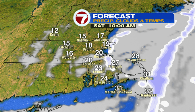
It was a bitter cold start to our Saturday. Not only did it feel like winter out there, but it also looked like winter for eastern MA where ocean-effect snow showers moved in from the northeast.
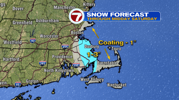
These snow showers will taper through midday, adding about a coating to an inch of snowfall for much of the coastline, slightly higher totals expected along the South Shore again.
As for snow reports over the last 48 hours, several inches of snow were reported along the South Shore, mainly from yesterday’s ocean effect snow showers.

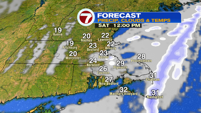
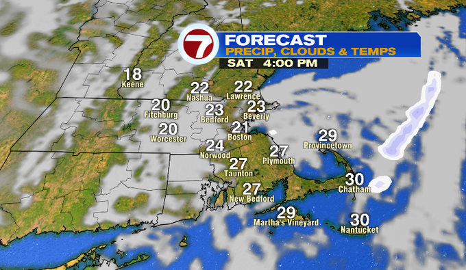
We’ll see a mix of sun and clouds once the snow showers taper with highs into the upper 20s. Sunday brings highs into the low to mid 30s.
Monday it’s back to the upper 20s before a slight warm-up Tuesday. However, this warm-up into the upper 30s is accompanied by clouds and a few showers, some of these showers could be snow that flips over to rain, so that’s something that we will keep an eye on for slick spots.
Wednesday and Thursday it’s a colder trend with highs around 30 with a gusty wind which could plunge wind chills late Wednesday night into Thursday. Thursday highs will only stretch into the mid-20s.
