

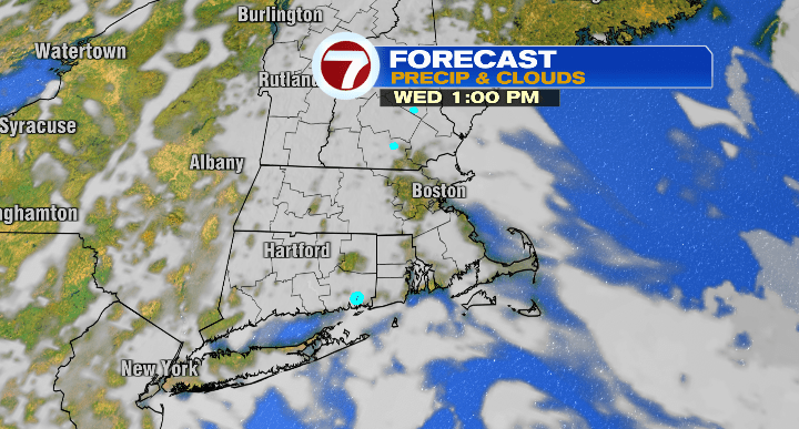
Happy Tuesday! It hasn’t been the brightest day out there, but it certainly was a whole lot better than the last few days. Thankfully, in the coming days, the sun will pop up and we’ll see a huge temperature warm-up.
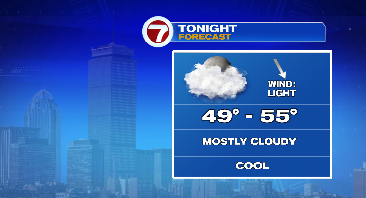
First, evening temperatures will cool from the 60s to the 50s with overnight lows in the low to mid 50s under mostly cloudy but dry skies.
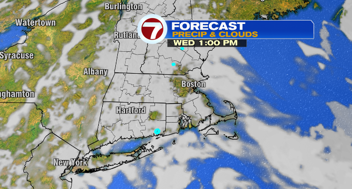
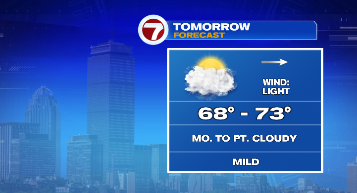
Your Wednesday is looking mostly cloudy with just a chance for the sun peeking out behind some clouds late in the day.
Otherwise, it’ll be a cool start with highs jumping to the upper 60s and low 70s.
The real heat starts Thursday. The day begins in the 50s but afternoon highs will skyrocket to the upper 70s and low 80s.
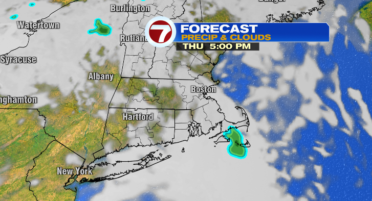
With dew points in the low to mid 60s, that’ll feel a bit humid. Skies are looking partly sunny.
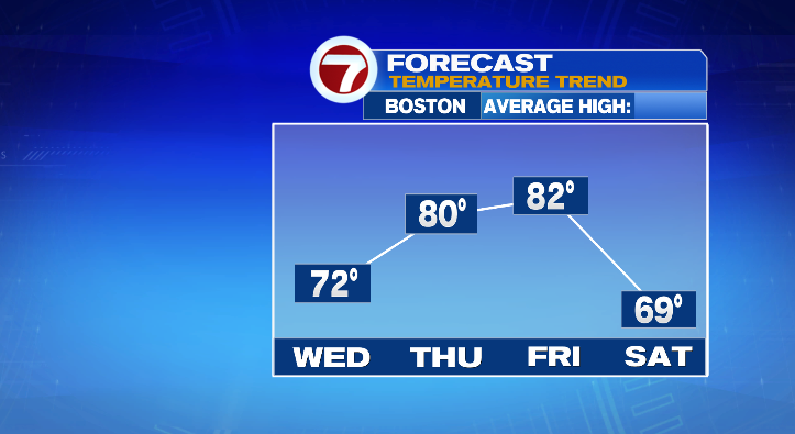
Friday gets even warmer. Instead of starting off in the 50s we’ll begin the day in the 60s with highs in the low 80s. Dew points will again reach the low to mid 60s, so expect it to feel a little sticky. Skies look bright but there’s a chance for a spot shower in the evening.
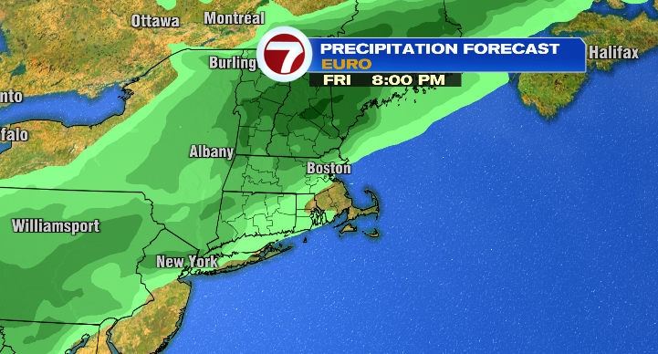
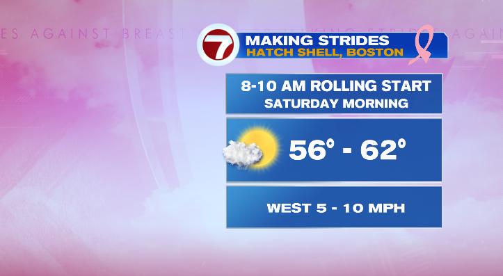
If you’re in full fall mode and don’t want the warmth to continue, thankfully we’ll cool right back down this weekend. Saturday’s lows start in the 50s again with highs into the upper 60s. Skies look mostly sunny for the Making Strides against breast cancer walk in Boston.
After that, our overnight lows get downright chilly…
Sunday morning we’ll dip to the low 40s and rebound nicely to the mid 60s under partly sunny skies. Monday’s lows are in the upper 40s with highs in the upper 60s with mostly sunny skies, but a breeze will make it feel chillier than it really is. The breeze lingers Tuesday and really cools us down. Lows tumble to the upper 30s and low 40s with highs only in the upper 50s with sunny skies. Stay tuned!