Happy Tuesday! It’s been another beautiful day. Moving forward we’ve got some rain chances to talk about this week, but thankfully the forecast is looking up this weekend.
First, evening temperatures will hover in the 50s with overnight lows down to the 40s. Clouds will increase as the night progresses ahead of some spotty light rain showers Wednesday morning and early afternoon.
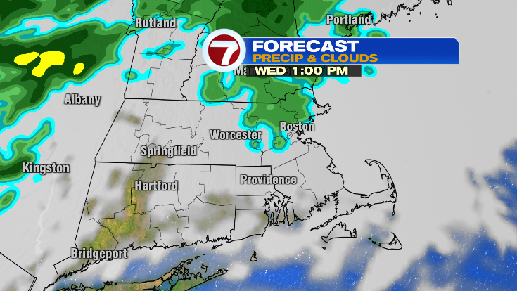
There could be an isolated sprinkle the rest of the day but generally we’ll dry into the afternoon and evening. Highs will warm into the low 60s in the afternoon.

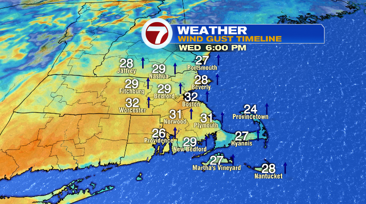
Winds will pick up as well. It’ll only be slightly breezy in the morning but toward the evening winds will gust over 30 mph.
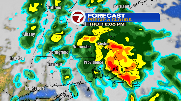
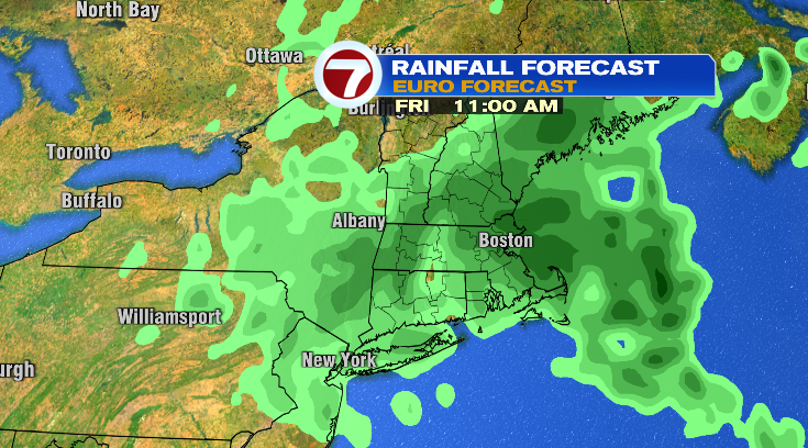
Thursday will be the wettest day this week. We’ll see on-and-off rounds of rain throughout the day with embedded downpours. Morning temperatures will start in the 40s with highs in the low 60s again. An umbrella should be okay since it shouldn’t be overly windy, but a rain coat is still a good idea! Keep that handy for Friday, too, since we’ll see showers again. Friday will be noticeably cooler in the low 50s.
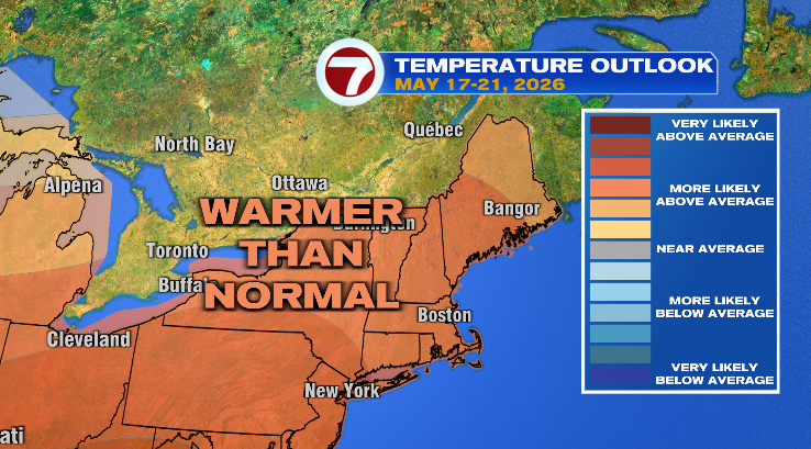
But after the rain…comes the warm-up! Saturday is the first warmer day. Sure, we start off in the upper 40s but afternoon highs will jump to the mid 70s. Skies will be sunny that day, and also on Sunday allowing for another warm up to the upper 70s.
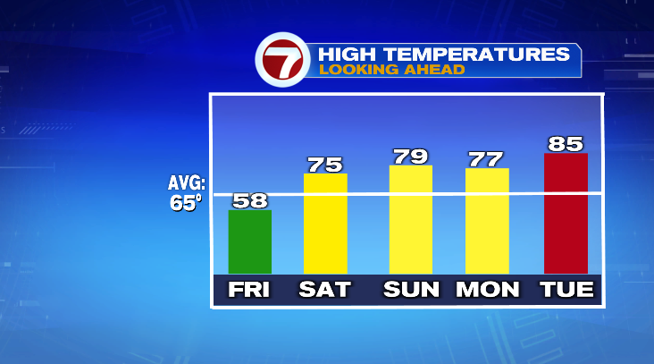
Monday the sun continues with highs in the upper 70s again. Watch out for Tuesday! We’re tracking highs well into the 80s. Stay tuned!