Happy Monday! It’s been a beautiful day so far. We’ll have more of the same on Tuesday before we get a little unsettled toward the middle of this week.
Evening temperatures will cool from the 60s into the 50s with overnight lows into the low 40s. Skies will be mostly clear overnight and they’ll stay that way as we usher into Tuesday! There may be a cloud here or there every once in a while, but generally Tuesday is going to be bright.
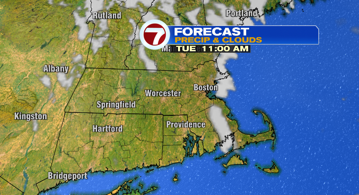
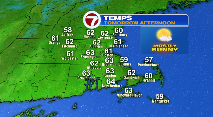
While the morning will be chilly the afternoon will feature highs into the low 60s. It’ll be a bit cooler on the Cape.
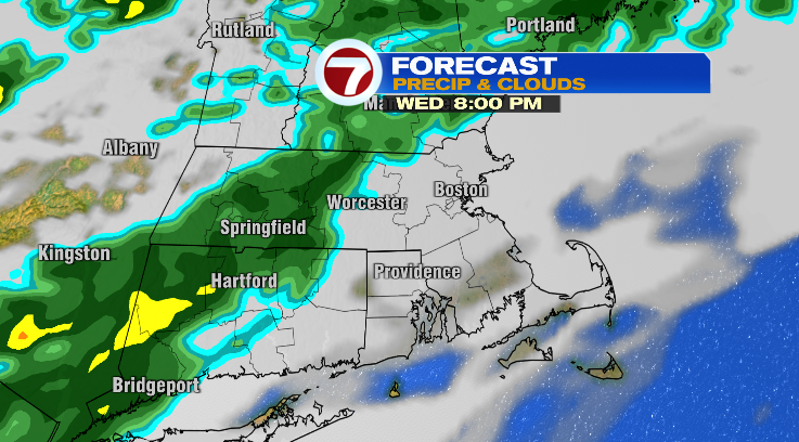
Rain chances return on Wednesday. It’ll be mostly cloudy with morning lows in the low 40s and afternoon highs in the low 60s.
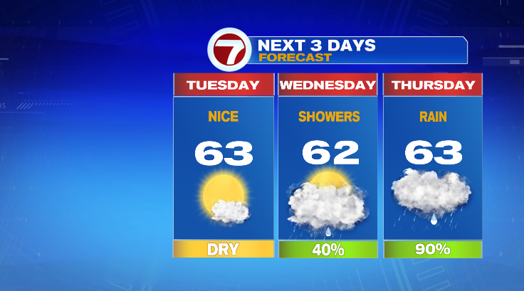
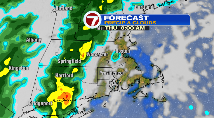
The wettest day this week looks to be Thursday with highs again in the low 60s.
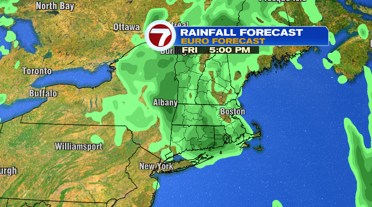
We’re not done with the rain just yet. Friday we can expect more spotty showers with lows in the mid to upper 40s and highs in the mid 60s.
Warmer weather finally creeps back in this weekend! Saturday looks fantastic. We start the day near 50 degrees with highs into the mid 70s under partly sunny skies. Sunday? Even better! A sun/cloud mix and highs in the upper 70s. Monday will come close to 80 degrees. Stay tuned!