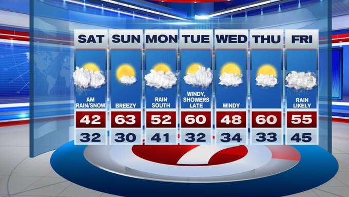
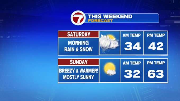
I like to call this weekend’s forecast the “Weekend Whiplash” since we go from accumulating snow Saturday to 60s and sun-filled Sunday.
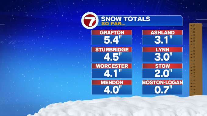
Let’s first talk about the snow as the system continues to move out. The jackpot area with this storm was southern Worcester Co. with Grafton coming in with over 5″ of snow, with a few areas saw at least 4″, with areas like Metrowest getting at least 3″. It was the type of wet snow that sticks to the trees and the grassy surfaces, making for a picturesque winter wonderland, in mid-April.
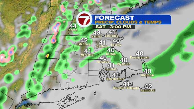
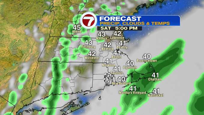
The snow tapers by noon with the snow showers changing to light scattered rain showers. These showers move out by the evening and we’ll see a gradual clearing of the skies through the overnight hours tonight.
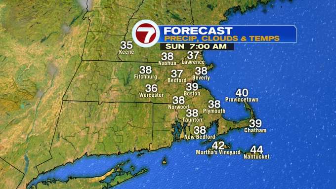
Sunday starts off clear and chilly with temperatures in the 30s, but by the afternoon temperatures will rebound to the low 60s! Talk about a difference a day makes in New England!
For the work week, it’s another round of rollercoaster temperatures from day to day. Monday, we see highs into the low 50s under mostly cloudy skies with a few showers south (not a washout).
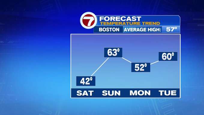
Tuesday, we jump back to around 60 in the afternoon, ahead of some rain showers that slide in by the evening. That line is a cold front that sweeps out by Wednesday, ushering in a cool down by midweek. Wednesday’s highs are only in the upper 40s. Then, it’s back to near 60 Thursday (I told you…these are rollercoaster spring temperatures). Friday it’s back to clouds and rain through most of the day and highs in the mid 50s.