

Happy Monday! We had some heavy cloud cover this morning, but since then we’ve significantly brightened and warmed up. Get ready, though, it won’t last.
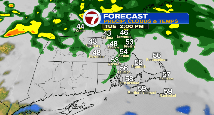
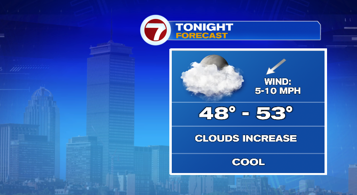
In fact, tonight clouds will be back on the rise. Overnight lows will bottom out in the upper 40s and low 50s. There may be a stray overnight shower.
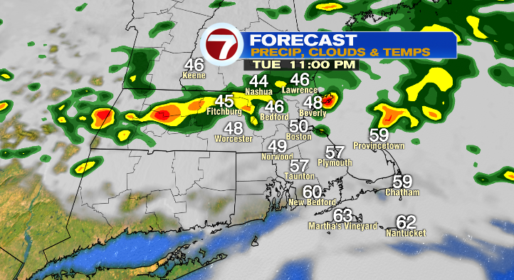
Tuesday will be much cooler, and with a backdoor cold front temperatures will vary depending on where you are. North of the Mass Pike temperatures will mostly stay in the 40s and 50s and south of the Mass Pike temperatures will stick to the 50s and touching on the low 60s.
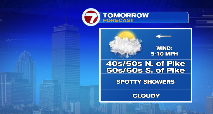
We’ll see spotty, random, hit-or-miss showers on and off throughout the entirety of the day. That includes in the morning and afternoon.
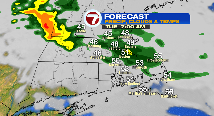
Get the rain gear handy! Rain chances linger into the evening and overnight, too.
Big changes come Wednesday. We start the day more mild in the upper 50s and finish off in the low to mid 70s. That’s pretty warm! Skies will be partly sunny and it’ll be a little breezy. The breeze continues into Thursday with mostly sunny skies instead. Lows do dip to the upper 40s with highs down to the low 60s. We’re tracking windy conditions and rain chances for Friday!
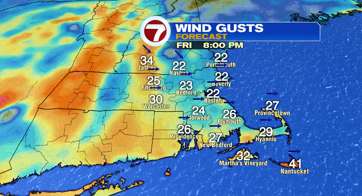
Lows bottom out in the morning in the low 40s with the rain and clouds keeping highs cooler in the low 60s. Saturday looks downright windy and chilly! Temperatures will be in the 40s for most of the day, but the wind will make it feel much colder. Skies will be partly sunny with a low-end chance for a spot shower.
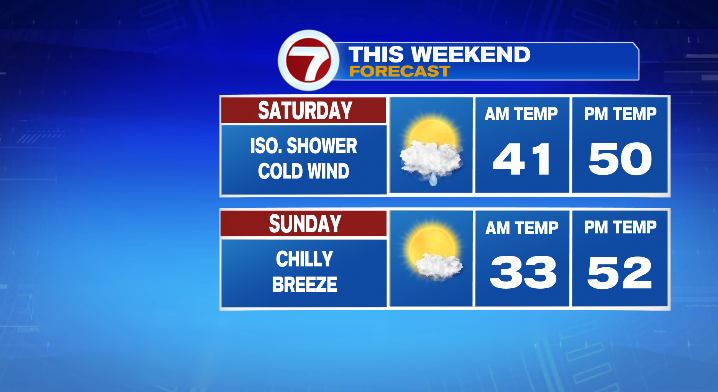
Sunday morning we tumble to the low to mid 30s! It’ll be downright cold. Highs only rebound to the low 50s with mostly sunny skies and a lingering chilly breeze. Monday morning looks cold again in the 30s with highs in the upper 50s and low 60s with a sun/cloud mix. Stay tuned!