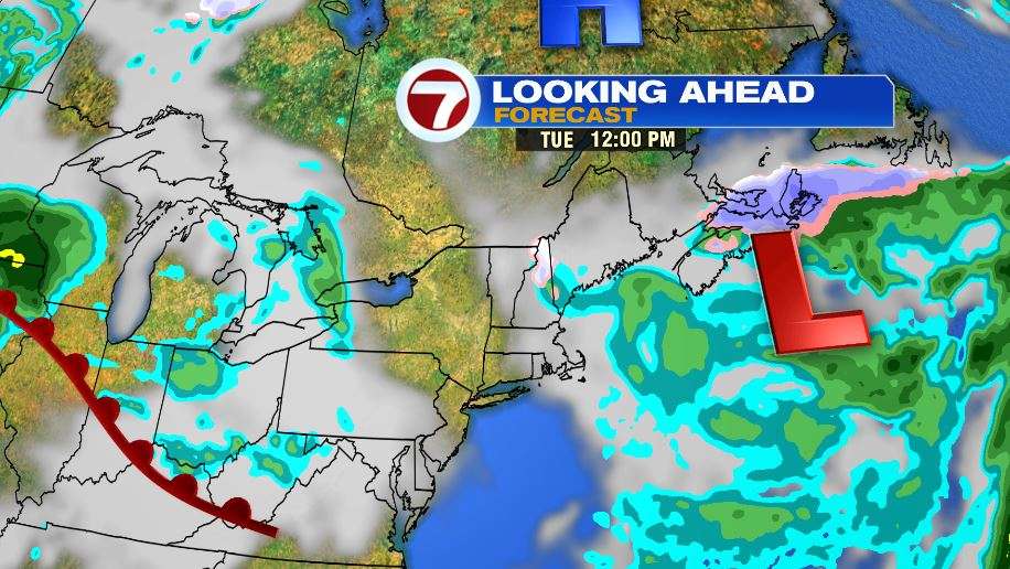
7Weather- A low pressure system controls our weather for the next couple of days. That means the week starts with showers.
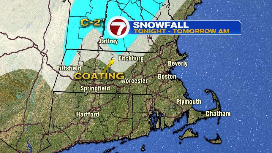
Light rain could switch over to wet snow late tonight for the higher elevations in northern Worcester County, and southern New Hampshire. This won’t amount to much with a coating possible on grassy areas. Higher terrain in southern New Hampshire could get up to 2″.
MONDAY:
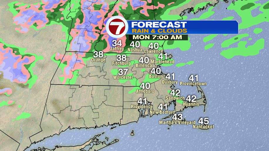
The day starts with patchy drizzle and wet snow in higher elevations. Temperatures will be anywhere from the mid-30s in Jaffrey to the low 40s in Boston.
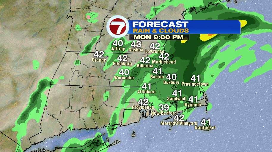
The light rain picks up again mid-morning, and it continues on and off throughout the rest of the day. Most towns get an addition 0.20″-0.50″ of rain. It will be chilly with highs in the low 40s.
On top of the rain and the 40s in late April, it will also be windy. There will be a northeast wind at 15-25 mph, gusting to 35 mph at the coast.

The system that bring rain Sunday afternoon – Tuesday morning finally moves out late Tuesday.
There will be drizzle Tuesday morning, and if we get lucky, some clearing late in the day. Highs reach into the upper 40s.