

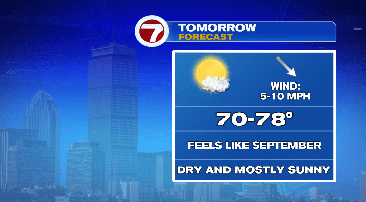
We’ve had a big taste of summer today! Highs were well into the 80s, and the humidity hung around for a good part of the day.
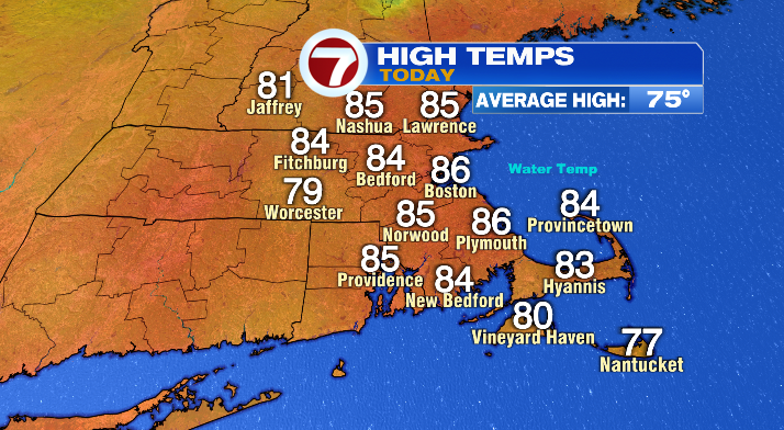
But now we’re starting to turn the tables and jump back into more September-like weather.
First, humidity falls through the rest of the afternoon and overnight. On top of that, temperatures will dip back into the mid to upper 50s overnight as well.
Friday will be mostly sunny and by the afternoon we’ll be in the low to mid 70s– right on par for temperatures this time of year. Dew point temperatures will largely be in the 40s and 50s, giving us a very dry, fall-like feel to the air!

Call it great news if you’re headed to Fenway tomorrow evening! With the first pitch at 7:10 PM against the Royals, you can fading sunshine (sunset is at 7:01 PM tomorrow!) and a mostly clear sky afterward. It’ll be around 70 degrees, but cool off quickly with the sun going down. I’d bring a layer if I were you!
We’ll wake up in the upper 40s and low 50s on Saturday — chilly for this time of year! We’ll be back to, if not above average in the afternoon with highs in the mid and upper 70s for most spots (the coast will largely be in the low 70s), as well as a mostly sunny sky. It’s the drier of the two weekend days, but you’ll see clouds increase late in the afternoon ahead of our next chance of rain.
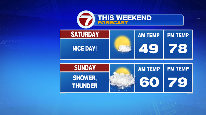
That rain rolls around after the clock strikes midnight and we turn to Sunday. You can expect some showers and even some heavy rain before sunrise, and more scattered showers and a rumble of thunder possible until the early afternoon.
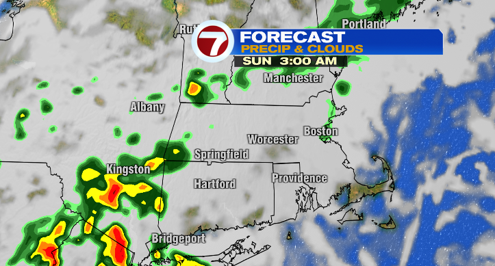
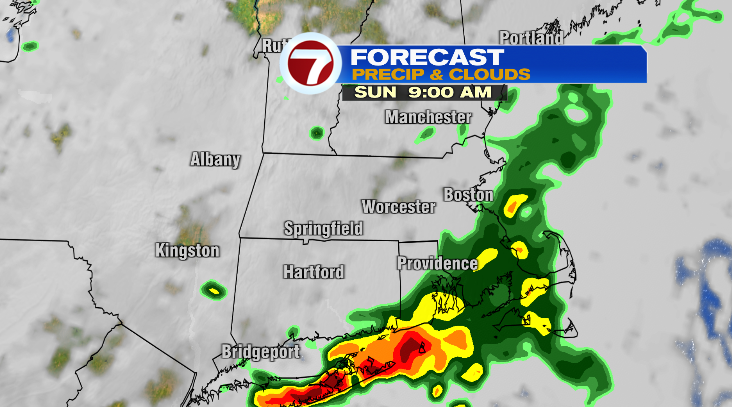
Things lighten up a bit during the second half of the day. Highs will be in the upper 70s with the warmest spots topping out around 80. It’ll be muggier than Friday and Saturday as well.
Monday we’re back to sunshine and highs largely in the mid to upper 70s. Tuesday is a repeat performance. Humidity goes back down both days as well… but it does rebound again by Wednesday, along with our next chance for showers and thunder by Wednesday evening!