

A stunning start to our Sunday with plenty of sunshine! But it’s a chilly start as well!
Temperatures are largely in the 20s and 30s as we wake up this morning– below average, even for this time of year. But we flip the script as we head into the afternoon with temperatures climbing through the 20s, 30s, 40s and eventually through the 50s as well, leaving us in the 60s by midday!
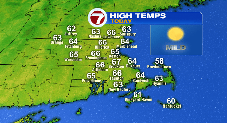
The Cape and Islands will largely be near 60, but areas inland will be in the mid 60s today.
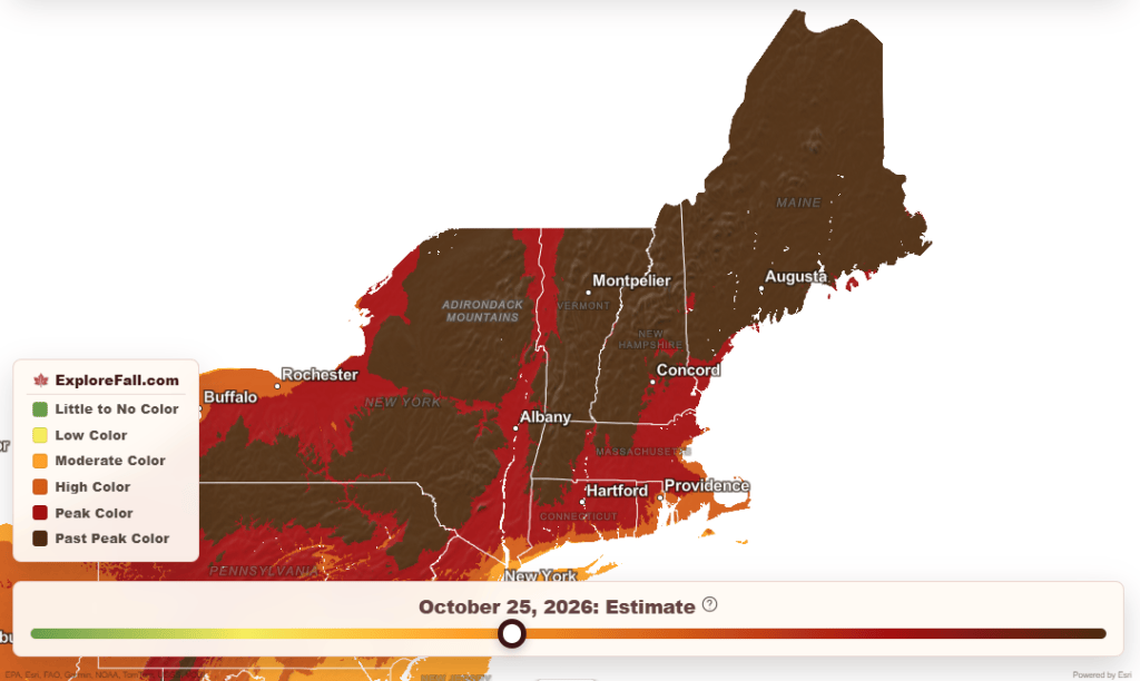
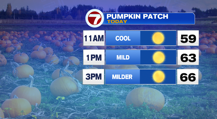
It’ll be a phenomenal day for any outdoor activity, whether you want to do a little leaf-peeping (the lower elevations of Massachusetts are around peak right now), or perhaps some pumpkin picking instead. Enjoy!
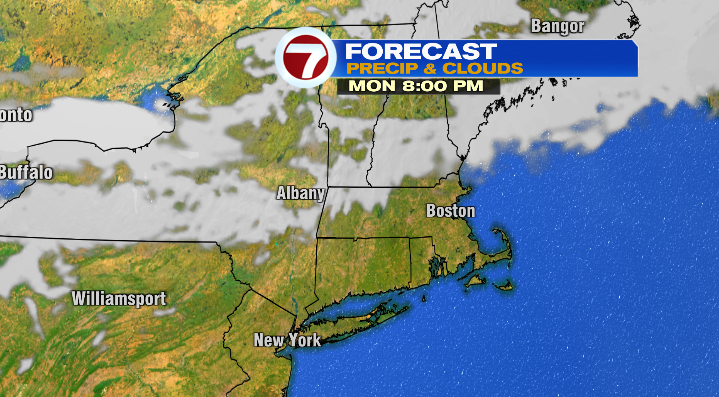
We’ll keep the dry streak rolling tomorrow, despite a cold front moving through Southern New England. High pressure’s influence is so strong, and there’s so little moisture that our front kinda just… fizzles. We’ll see a few clouds late Monday, but that’s really about it in terms of resulting moisture. Not a raindrop in sight.
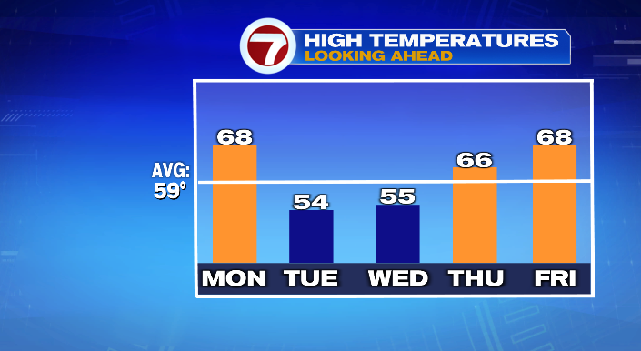
The bigger impact of that front will be the temperature drop! Monday will be quite mild, with temperatures in the mid to upper 60s! However, as cool air moves in after the front, you can expect highs in the mid 50s Tuesday. It’ll still be mostly sunny on Tuesday, but we’ll go from a September to a November feel overnight.
From there, it’s just a matter of navigating temperatures through Halloween. We’ll warm up toward the end of the week, and stay dry as well. Of course, Halloween is the day to watch here. Right now, it’s looking pretty great, if I may say so myself. Temps in the 60s during the day, 50s during the evening, and a mostly to partly sunny sky.
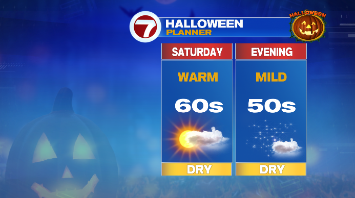
Not too shabby! That said, we do have to keep a close eye on a front that **could** bring our next chance of rain on November 1st. We’ll keep you posted throughout the week!