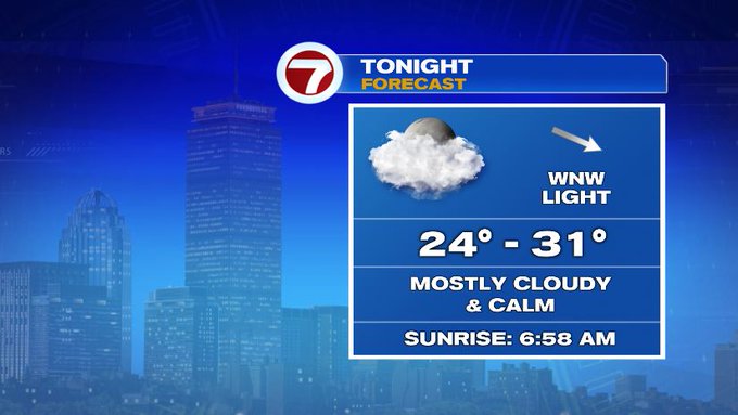
Tracking calmer winds through the overnight tonight and under a mainly cloudy sky, temperatures will not be nearly as cold as last night.
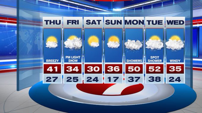
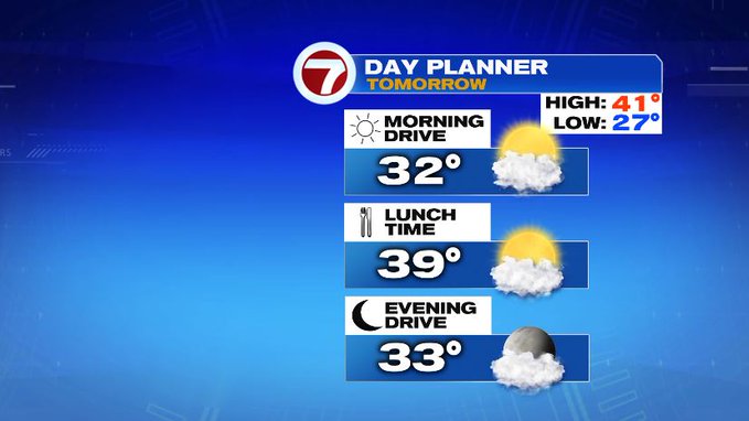
Thursday features not as many clouds as we saw for our Wednesday, so we’ll see a few more glimpses of the sunshine Thursday, allowing for the temperatures to warm up into the low 40s.

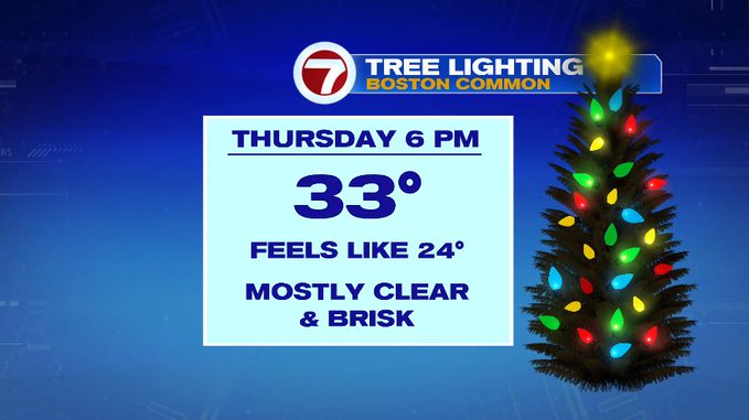
If you’re heading out to the Boston Common tree lighting ceremony in the evening, it will be mostly clear and chilly, so like every year, just add the extra layers and you’ll be all set.
Our next best chance for flurries will be on Friday late afternoon/evening, but will not be nearly as robust as our last system. This clipper of a system will be up to an inch or less for most locations, with mainly rain SE MA, Cape and Islands. 1-2″ possible for the Berkshires, and the higher elevations in northern Worcester Co.
As that system moves out, colder air moves in, with highs on Saturday below freezing. Sunday is a little better with highs into the upper 30s under partly cloudy skies. Then, we warm back up into the 50s both Monday and Tuesday, so a roller coaster of temperatures is expected over the the next 7 days.