

Happy Monday! It’s been a warm day in the mid to upper 80s with noticeably lower humidity. The comfortable trend will continue for a few days this week!
First, there are thunderstorms over New York state tracking east.
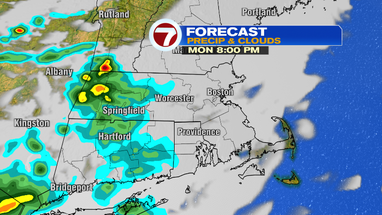
While they should be fizzling out upon approach, one or two could make it into our area.
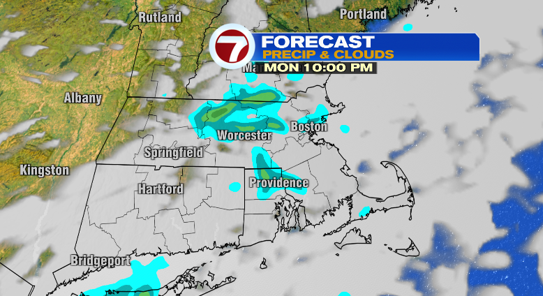
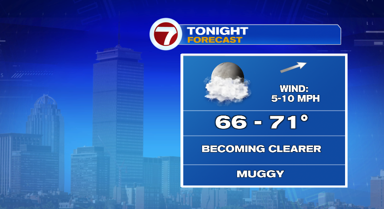
Otherwise, your evening will be warm in the 80s and 70s. Overnight we won’t be as cool as last night, lows will reach the mid 60s to low 70s.
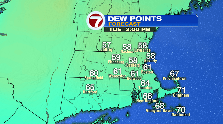
For your Tuesday you’ll be out the door in the 70s with highs in the mid to upper 80s again. Humidity might be a little muggy in the morning but as the day goes on it’ll be dropping again! Overall, a comfortable and warm day ahead.
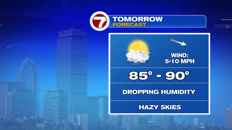
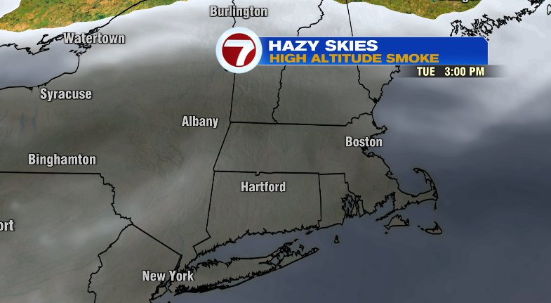
There may be a bit of a haze from high-level wildfire smoke at times, too. But it’ll be steering clear of the surface and shouldn’t negatively impact us.
Wednesday looks great! Bright and warm. Not humid. Not even a little!
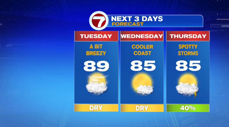
That’ll change Thursday. Humidity increases along with the return for some scattered storm chances. Highs will reach the mid 80s.
Friday and Saturday will be SPECTACULAR. Sunny skies, LOW low humidity and not as warm near 80 degrees. Perfect. Sunday afternoon through Monday we’ve got the return of humidity and storm chances again. Stay tuned!