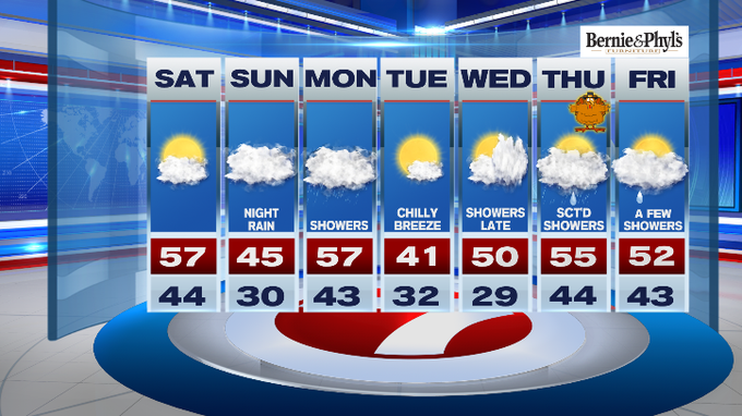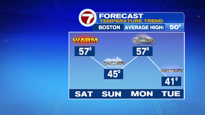
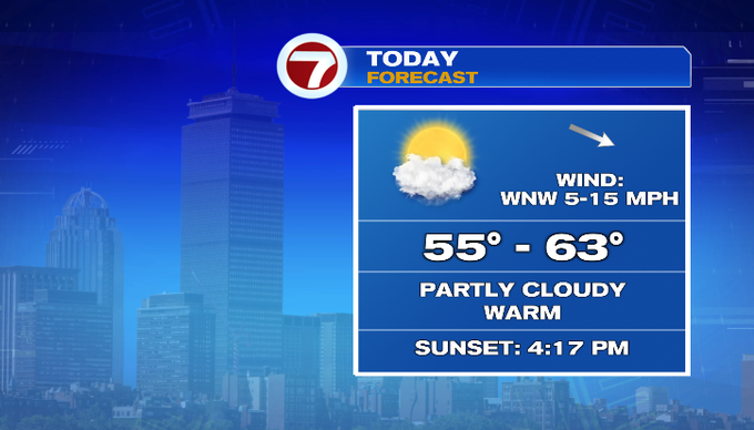
A cold front is looming just to our north, but we are on the warm side of that front today with highs into the upper 50s to low 60s.
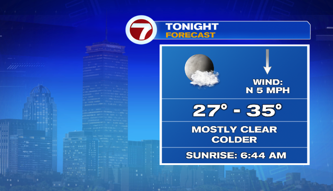
That cold front will dive southbound through the day today, giving way to a much cooler night ahead with overnight lows in the upper 20s to low 30s.
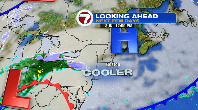
After a cold start to our Sunday, we’ll see increasing clouds making for a cloudy Sunday with highs only in the 40s.
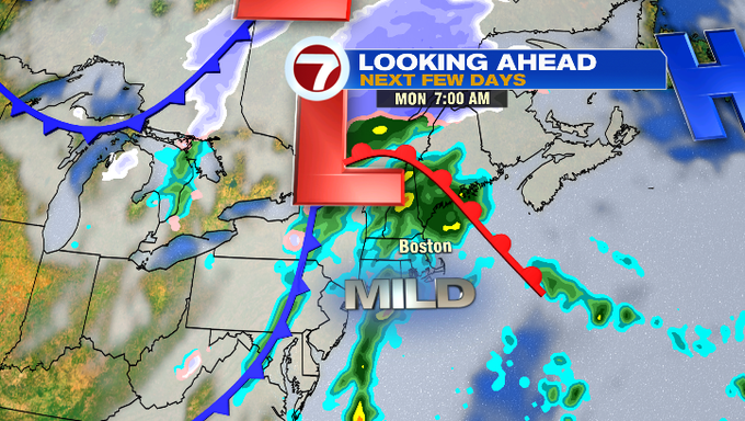
Late Sunday night into Monday, a system from our southwest moves into southern New England, ushering in a boost of warmer air and scattered showers. These showers linger through most of Monday, otherwise overcast skies will be with us to kick off the work week.
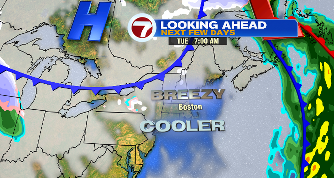
That system pushes out by Tuesday, allowing for colder and breezy conditions to slide in with highs only in the low 40s.
Wednesday is seasonable with another system moving in late which will likely bring rain for our Thanksgiving Day. At this point, Thanksgiving does not look like a complete washout, but you’ll likely need the rain gear for any of your holiday travels. Highs on Thursday will be in the mid 50s.
A few showers in the forecast for next Friday, too, but again not a washout.