Yes, we will have shower and storm chances both weekend days, but we’re not tracking a complete washout.
After some strong to severe thunderstorms that moved through earlier this evening, we’ll see dry conditions around sunset since the storms will not have the energy to survive after the daylight fades. Overnight lows will dip into the upper 60s under mainly cloudy skies.
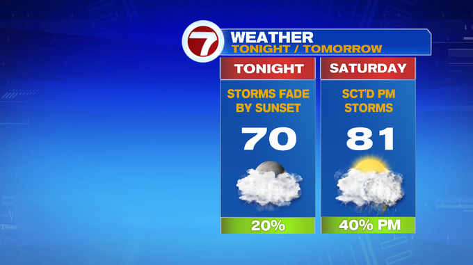
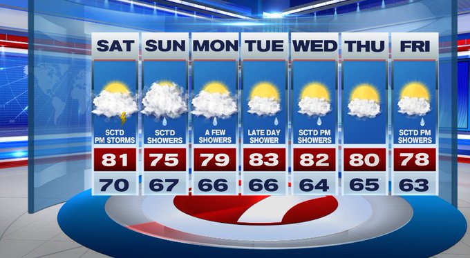
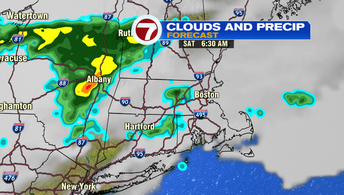
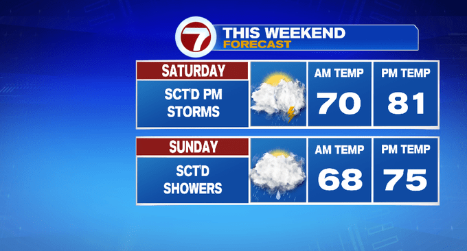
Saturday is mainly cloudy with a spot shower early, then we should be dry through late morning and into the early afternoon before thunderstorms start to flourish close to dinner time and through the evening.
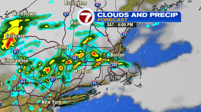
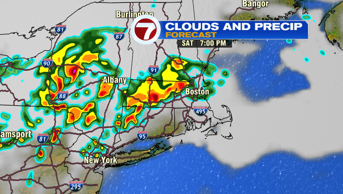
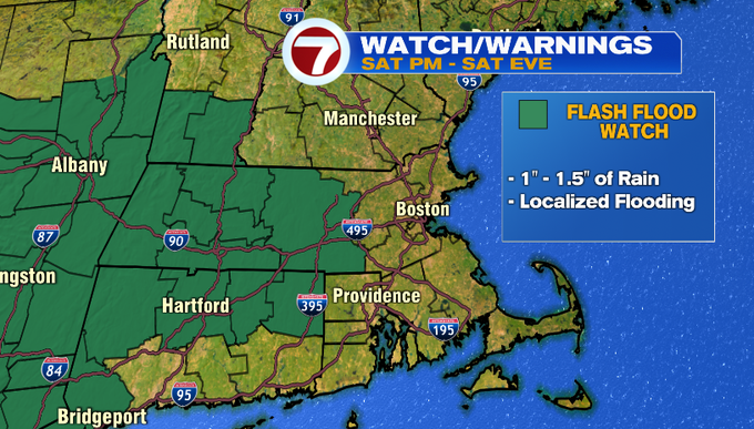
A Flash Flood Watch has been issued for central MA and areas west where these storms are expected to drop over an inch of rainfall through Saturday night.
Sunday features scattered showers, lighter than Saturday.
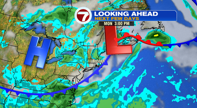
As the low pressure that brings the shower/storm chances for us this weekend pushes off the coast for Monday, a few showers on the backside of the system could still be us, but not widespread.
Tuesday features a late day shower and Wednesday also features some scattered afternoon storms. We finally catch a break Thursday with no precipitation and highs around 80 under partly cloudy skies.