After a chilly start to our Friday, temperatures rebounded nicely into the upper 60s, under plentiful sunshine. It certainly felt like fall for our Friday, the 13th.

Speaking of Friday the 13th, in the night sky, it’s the full “Harvest” moon, the closest full moon to the Fall Equinox (September 23rd). For us on the east coast, the moon becomes “full” after midnight, so the full moon does not quite fall on Friday, it falls on Saturday, the 14th.
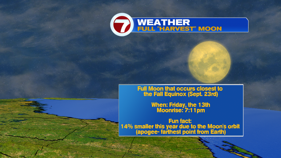
However, for the rest of the United States, the full moon will fall on the 13th. This event is so rare, that the next time a “full moon” occurs on a “Friday, the 13th”, we have to wait until August 2049.
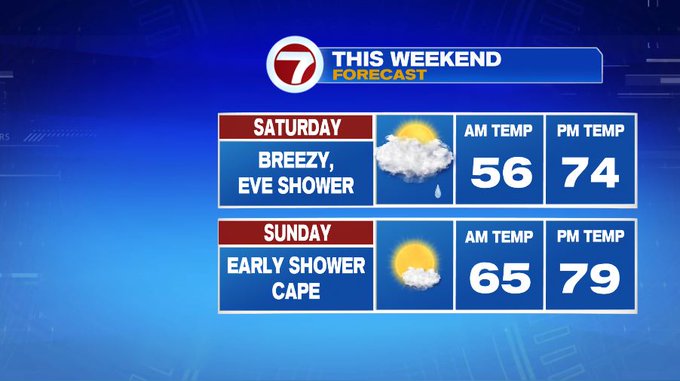
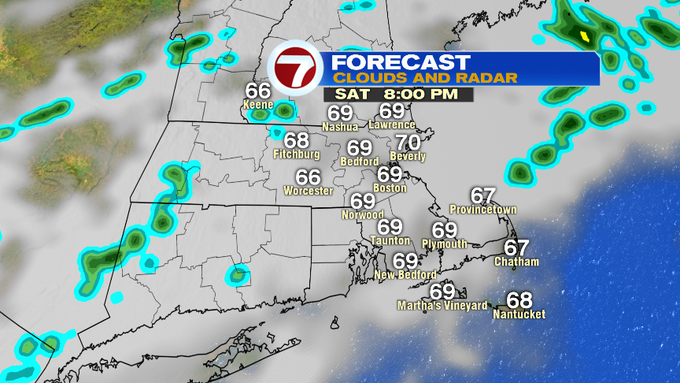
Now, back to your weekend forecast. We have a chance for showers Saturday evening into early Sunday as a front approaches. Otherwise, the bulk of the weekend remains dry.

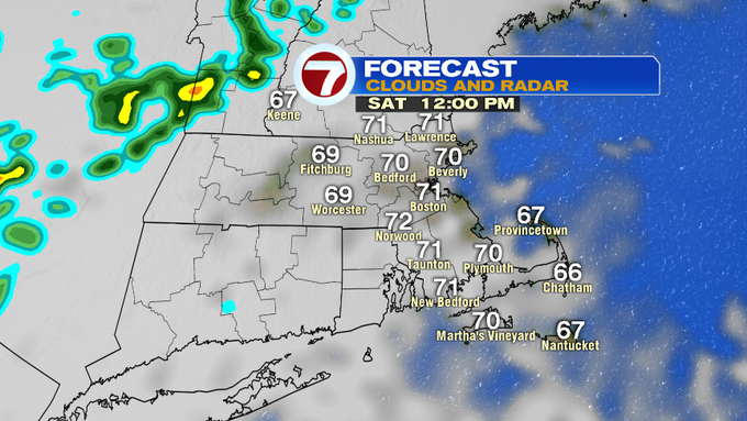
As for the timeline for your weekend plans, Saturday morning features mostly cloudy skies. We have a broken line of showers to our NW by mid-afternoon. The rain holds off until at least 5pm for areas north of MA/NH border, 7pm, for north central MA. Most spots remain dry until Saturday night.

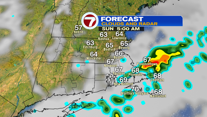
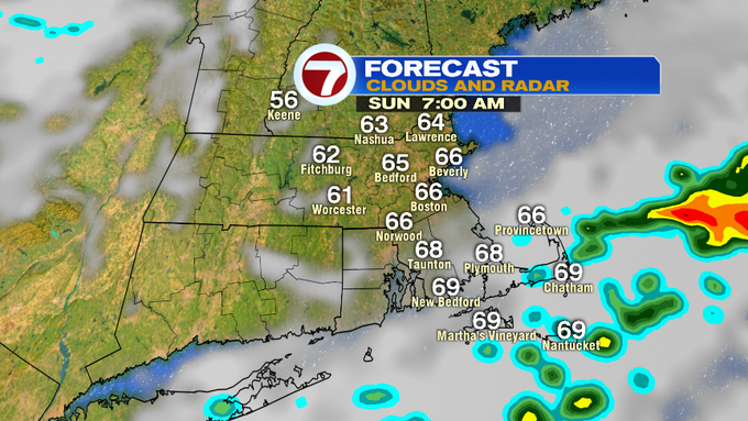
There is a chance for a few heavier downpours to develop into early Sunday morning, but these will be along and south of the Pike. These should be exiting coastal SE MA and the Cape by 8am Sunday. The clouds will continue to exit allowing for more breaks of sunshine Sunday afternoon.
High temperatures Saturday will be in the low to mid 70s, while Sunday, high temperatures will be in the upper 70s.
A few showers possible on Monday, other dry and seasonably cool Tuesday through Thursday under mainly sun-filled skies. A slight warm-up next Friday, with a few more clouds strolling in by the afternoon.

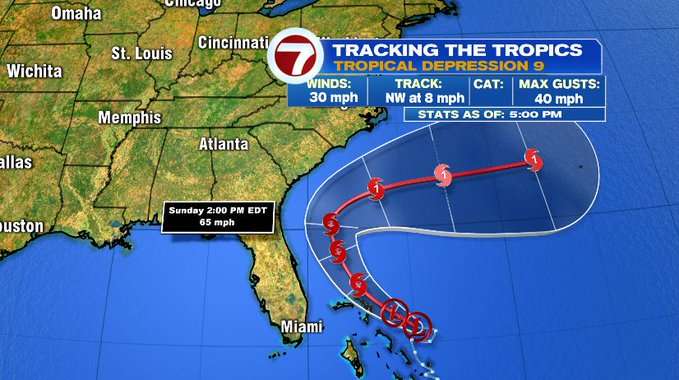
We are still keeping an eye on the tropics. Tropical Depression Nine will continue to slide over the Bahamas, stay out to sea along the SE coast of the United States before turning east and out to sea. Here’s a look at the cone/track from the National Hurricane Center as of the 5PM update on Friday evening.