

Good morning! After rounds of rain yesterday, we’re watching the last of the showers depart southeastern Massachusetts this morning.
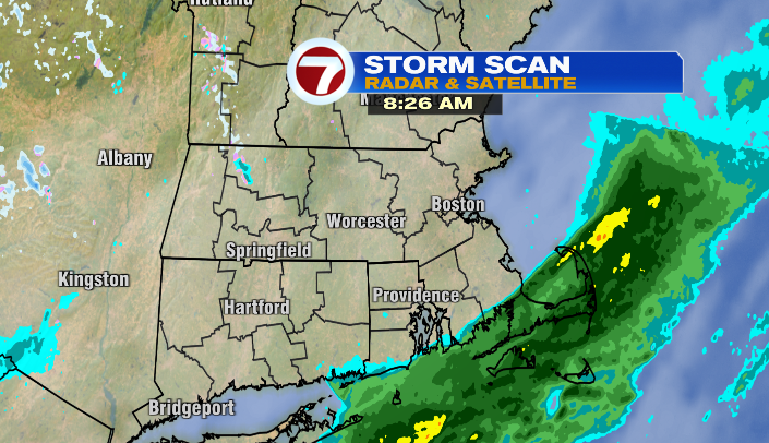
Break out the umbrella (or rain jacket) if you’re leaving the house soon on the South Shore/South Coast/Cape/Islands. Those showers will have wrapped up by the end of the morning, and areas along/northwest of I-95 will be dry during that entire stretch.
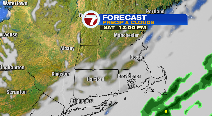
As the front pushes east, we not only lose the last of the showers, but lost the clouds as well! We’ll have much more sunshine by the afternoon, and the evening before the sun sets. However, as we see more sunshine, we’ll also see gustier winds. Gusts will largely be in the 20s this afternoon, with some in the 30s here and there as well. That wind is the product of what I’d like to call a “transitional stretch” in the weather– in this case, it’s the transition from low to high pressure, from moist, warm air to dry, cool air. In this case, “cool” is the key word.
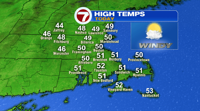
With cooler air coming down from Canada, temperatures don’t go up more than a few degrees from where they are right now– that puts most of us with highs around 50 degrees this afternoon– a late-November feel!
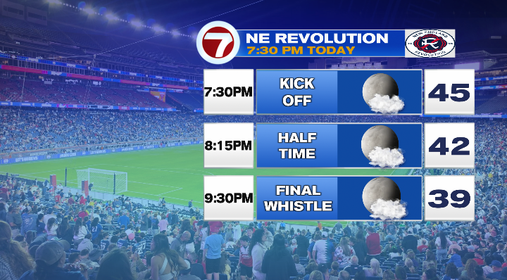
If you’re headed to the Revs game tonight, make sure you bring plenty of layers! Temperatures will cool quickly once the sun goes down!
Overnight, temps plummet. We’ll wake up to the upper 20s and low 30s across the area tomorrow! With that, and the winds lightening up, we could see some patchy frost on the ground tomorrow morning.
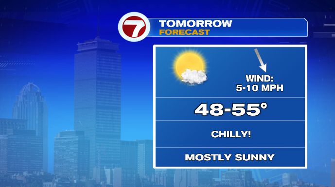
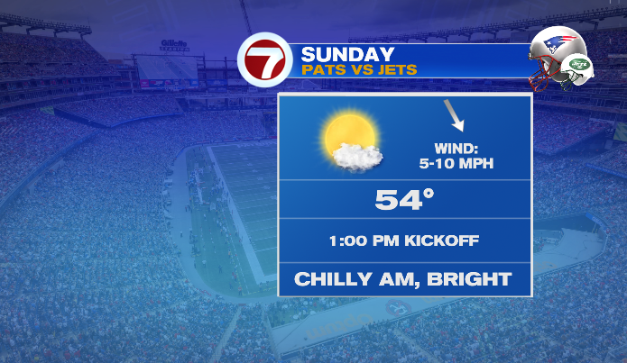
Sunday will be the calmer, ever-so-slightly milder of the two weekend days. We’ll be mostly sunny, with temperatures in the low to mid 50s for most. Not that that’s warm… again, it’ll still feel like November. But with the calmer breeze and boost to temperatures, it’ll make a big difference.
Monday and Tuesday temperatures rebound to the upper 50s and near 60. We’ll be mostly to partly sunny… but we are keeping a close eye on an area of low pressure developing off the Mid-Atlantic/Carolina coast at this time as well. Should this system scoot far enough to the north, we could see some extra cloud cover, and even a mid/late week shower. We’ll keep you posted throughout the week!