

Happy Saturday! Wow! What a day….we had wind, rain, a meteor. Thankfully, Sunday is looking much quieter.
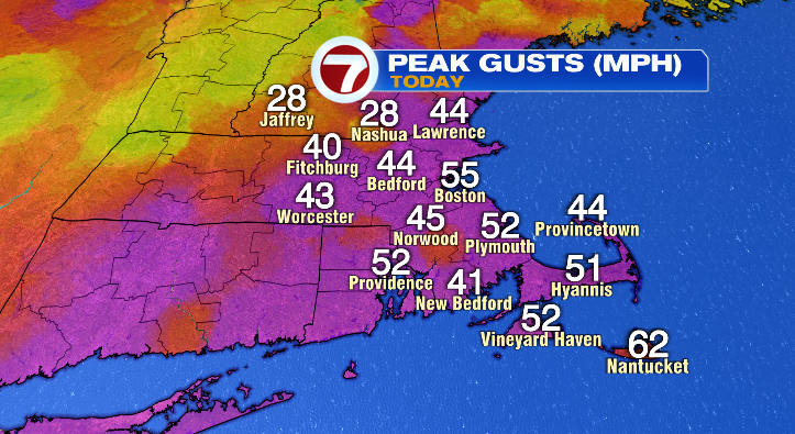
Peak wind gusts topped 50 mph today, taking down trees and limbs all across the area. The wind will linger the longest on the Cape, but most of us will see a significant improvement overnight.
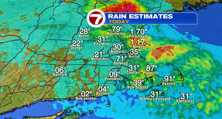
Rainfall amounts varied greatly, from a quarter-inch to well over an inch.
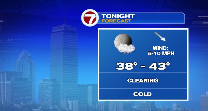
Overnight, the clouds exit behind the last of the rain and the mostly clear conditions will drop us down to the upper 30s and low 40s into Sunday morning.
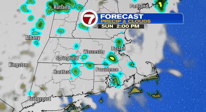
Sunday morning will be brighter but unfortunately clouds will move in quickly and could produce some isolated showers during the afternoon and evening. Highs will reach the upper 60s.

Monday kicks off the new work week with morning temperatures in the upper 40s, but we’ll reach the low 60s in the afternoon. There will actually be quite a bit of sun much of the day with a chance for a few spotty showers.
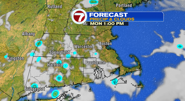
Tuesday looks partly sunny with a low chance for a spot showers. Lows drop to the low 40s with highs in the upper 60s. Wednesday: partly sunny, upper 60s and breezy. Thursday is when it starts to get noticeably warmer again! Highs will reach near 80 degrees with sunny skies. Friday: brighter in the mid 80s. Next weekend we’re tracking more rain chances. Stay tuned!