

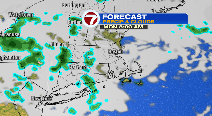
Happy Sunday! Today was definitely cool but it was certainly better than the dreary day we had yesterday! We saw highs in the 50s. Isolated rain chances begin tonight and linger into your Monday.
First, evening temperatures will cool to the 40s with overnight lows down to the mid 30s to low 40s. We can’t rule out an isolated shower or two overnight.
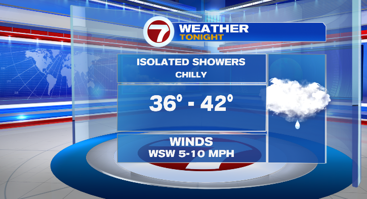
That chance for isolated, random hit-or-miss showers continues until the evening on Monday. It’ll be a chilly start with afternoon highs reaching the mid to upper 50s.
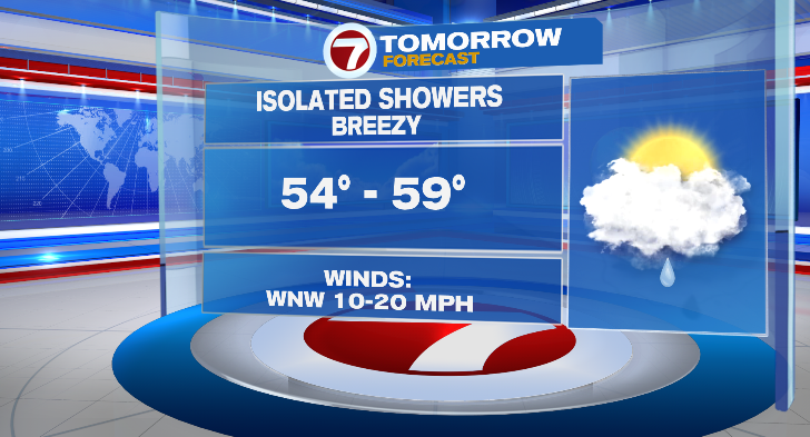
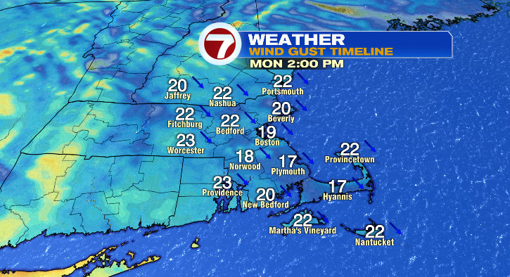
A bit of a breeze will kick up in the afternoon, with gusts to 20-25 mph. That’ll make it feel a few degrees cooler than it really is, so dress accordingly!
Tuesday morning will be cold in the 30s with afternoon highs the same in the mid to upper 50s. We’re expecting a sun/cloud mix with breezy conditions again. Wednesday is Veterans Day and the day looks great! 30s in the morning, upper 50s in the afternoon and mostly sunny with a light breeze.
We’ve got updates to the forecast for late this week! Thursday, increasing clouds and 30s in the morning and mid 50s in the afternoon. It’s now looking like mainly RAIN chances begin in the evening and continue overnight into Friday. Friday is trending warmer, so it’s looking like mostly rain throughout the day as well. Lows will begin Friday in the low to mid 30s with highs in the upper 40s.
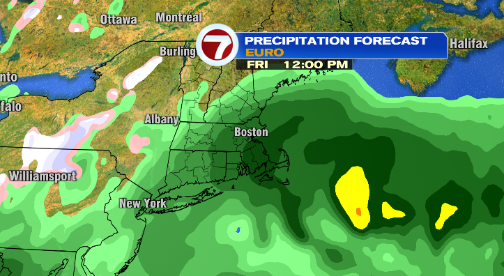
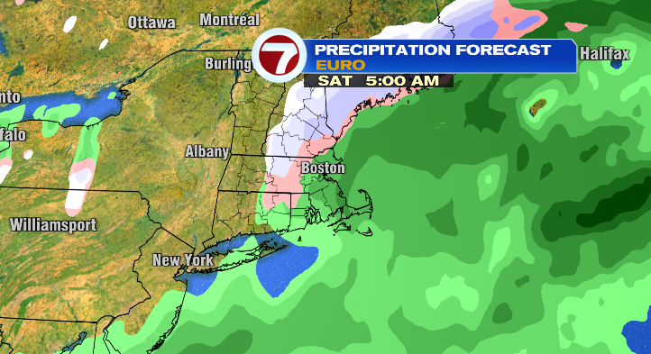
It’s Saturday morning we’re watching for the chance for some flakes or a wintry mix in the higher elevations, with rain still for most. That’s due to morning low temperatures near freezing. However, we warm to the mid 40s in the afternoon with rain shower chances continuing. This is something that can still change so make sure to tune in as the week progresses!
Sunday is trending drier and mostly cloudy. 20s and 30s in the morning with highs in the upper 40s and low 50s. Stay tuned!