

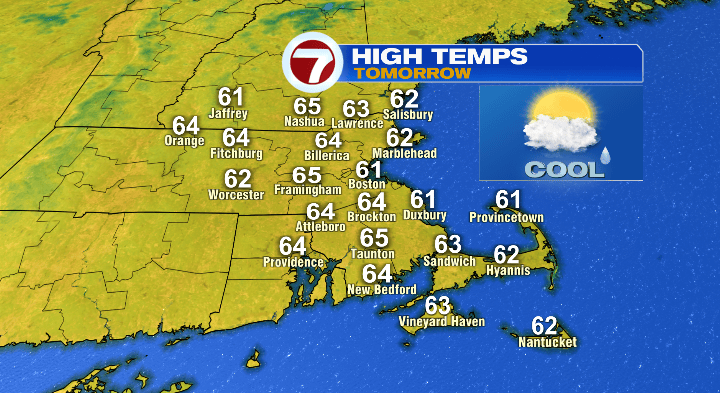
Happy Saturday! It was a STUNNER of a day. Certainly much cooler than our highs in the 80s yesterday, but still seasonable. Overall this week the fall-feel will continue with a breeze some days making it feel downright brisk.
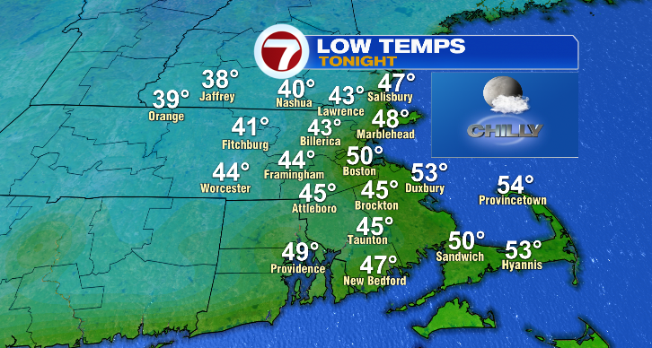
First, temperatures will tumble tonight. Most will drop to the 40s, with a low near 50 in Boston and less chilly for the Cape under mostly clear skies.
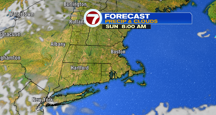
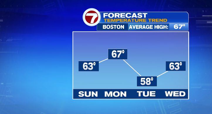
Your Sunday will start bright early, but clouds will quickly move on in. Those clouds will limit our warming with cooler highs in the low to mid 60s.
Heads up for southeastern Massachusetts: after about 7 p.m. and overnight you’ve got a chance for some spotty showers. Outside of southeastern Massachusetts, most will stay dry and cloudy overnight.
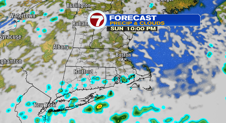
The overnight clouds will limit the temperature drop off, with overnight lows instead in the upper 40s and low 50s Sunday night into Monday.
Skies will clear out quickly Monday morning, leading to a mostly sunny day. Highs will reach the mid to upper 60s.
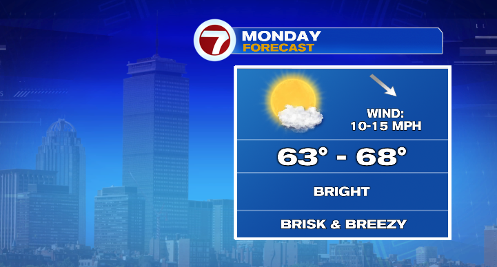
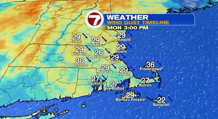
Watch your hat, though, as we’ll see some winds gusting to 20-30 mph at times in the afternoon and early evening.
Monday night, with clear skies, we drop to the upper 30s and low 40s inland with coastal lows in the mid to upper 40s. The rest of Tuesday will be bright, brisk and breezy! Skies look sunny with highs in the upper 50s. The breezy wind will make it feel pretty chilly, so dress accordingly!
The clear skies continue overnight into Wednesday morning, allowing temperatures to tumble to the 30s with a risk for some frost. Wednesday: sunny and highs in the low 60s.
The sun continues Thursday with a chilly start in the 40s and highs in the upper 60s. Friday, temperatures and sky conditions will be similar with a bit of a breeze again. Saturday: mid 60s and bright. Stay tuned!