Happy Saturday! It wasn’t exactly the nicest start to your weekend…but thankfully Sunday looks much better!
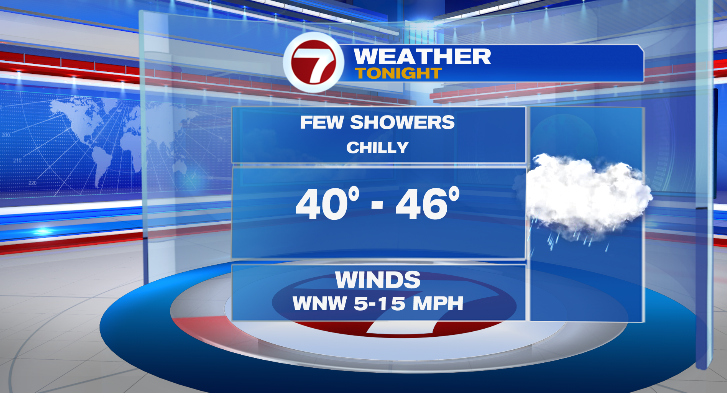
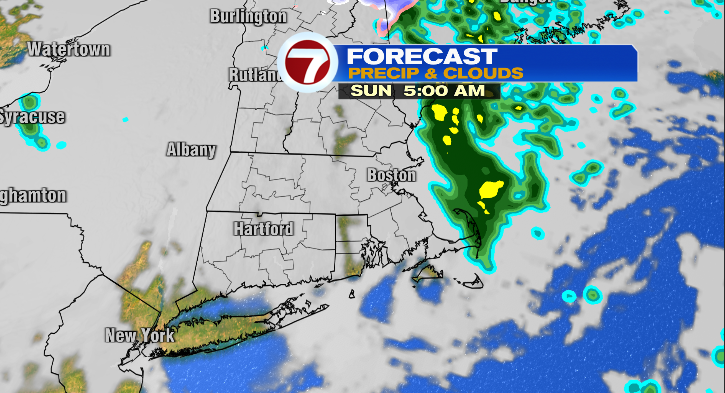
First, evening temperatures will continue to run in the 50s with overnight lows in the low to mid 40s. Spotty showers will continue overnight with a low-end chance through 5/6 am. Sunday morning.
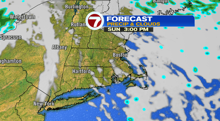
Sunday will start chilly in the 40s with afternoon highs not much warmer than today’s, overall in the mid to upper 50s.
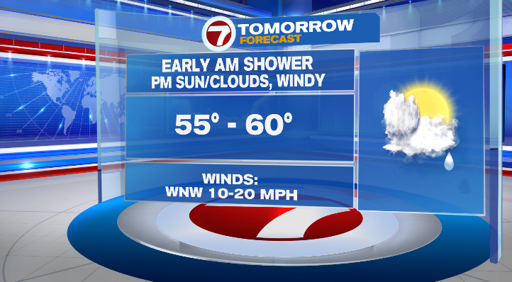
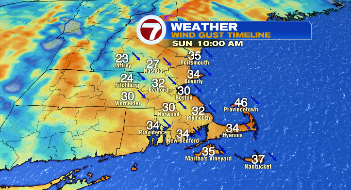
The biggest difference will be the late-day brighter skies. It will be a bit windy, though, with wind gusts 30-35 mph making it feel a bit cooler than it really is.
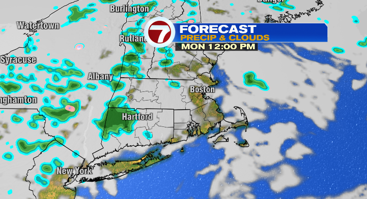
Monday starts in the 30s and 40s with afternoon highs in the mid 50s. We can’t rule out an isolated shower or two between partly sunny skies.
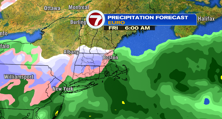
Tuesday morning will be a cold one in the 30s with highs in the upper 50s with a sun/cloud mix and a bit of a breeze. Wednesday, mostly sunny, breezy and a chilly morning with highs in the upper 50s. Thursday looks to still be dry and partly sunny. The morning will be cold in the 20s and 30s with cool afternoon highs in the low 50s. Watch out, we’re tracking our first chance for some rain/snow showers Friday into Saturday. It’s still very early…so stay tuned!