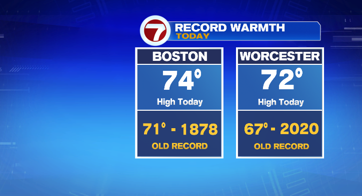
Happy Tuesday! What a spectacular day it was. Wow. Boston hit 74 and Worcester hit 71. Both of those were new high temperature records. But enjoy it….a cooldown is incoming.
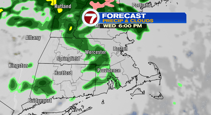
We’ll stay incredibly warm the rest of today. 60s for the early evening with 50s ahead for the late evening. Overnight lows, though, will tumble to the low 40s. So as you head out the door to work Wednesday morning, you’ll still want a warm coat. Wednesday will be cooler, sure, but not exactly cold. Most of the day will be spent in the 40s with a shot at the 50s later in the evening. We also have a chance for a spot shower, especially in the evening.
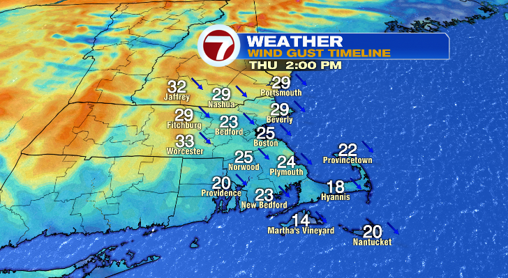
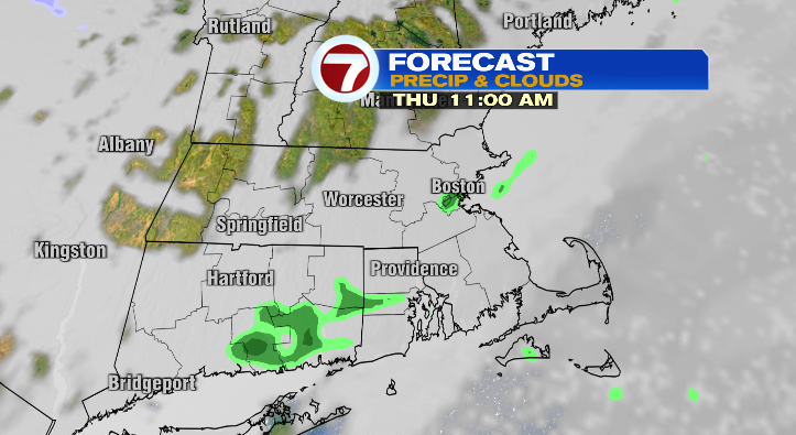
Thursday morning will be mild! We’ll wake up to temperatures in the mid to upper 50s. We’ll top off then in the late morning before a sharp temperature drop in the afternoon back into the 40s. The breeze will make it feel even cooler in the afternoon.
Skies will be cloudier and we could see a spot shower again.
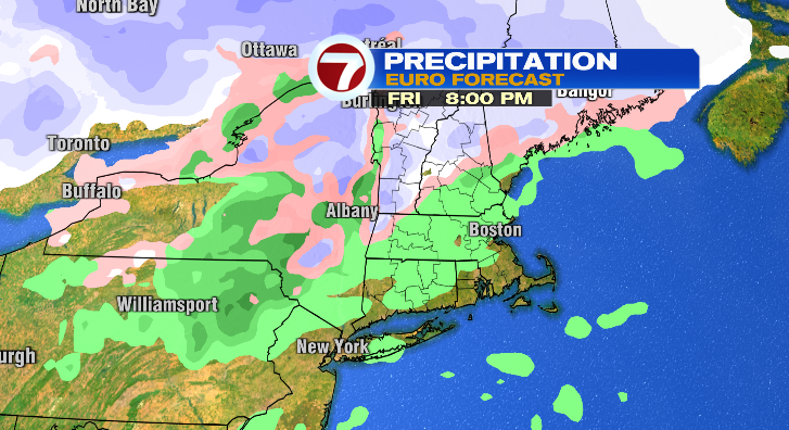
Friday morning will feel like winter again! We’ll wake up to the mid to upper 20s. Make sure you dress in layers, though, as highs will hit the low 40s. We’ll be partly sunny with a chance for a nighttime shower.
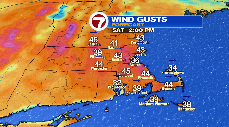
Saturday: windy and chilly! Low 30s to mid 40s under partly sunny skies.
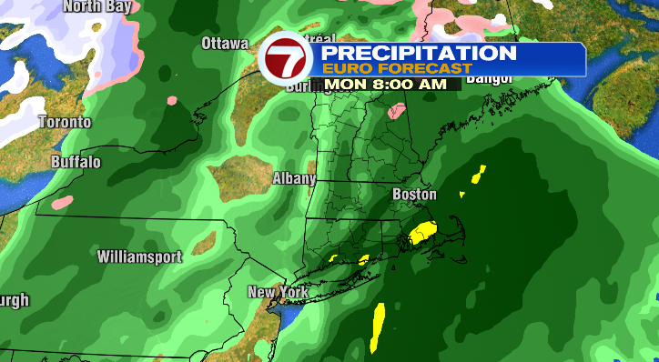
Sunday morning starts off in the mid 20s with highs in the low 40s. It’ll be cloudy with a chance for an evening shower. Monday, get your raincoat and rain boots ready! Wet with windy conditions. Cold in the morning in the upper 30s with highs in the upper 50s.
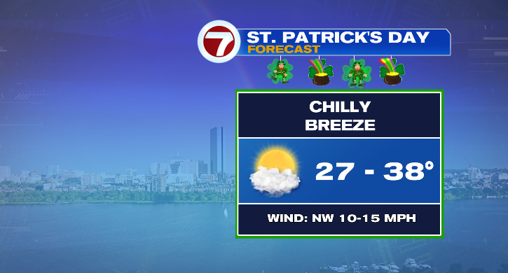
Tuesday is St. Patrick’s Day! It’ll be chilly. Lows in the upper 20s with highs into the upper 30s. It’ll be partly sunny but breezy.