

The dry streak ends as overnight showers and storms have dropped localized downpours amid a mild and muggy start.
Through today, it’ll be more of the same. Waves of showers and storms with localized downpours continue to roll in and out through this afternoon, into this evening. While showers and storms in totals will be more numerous across Southeast Mass, even northwest of Boston, expect some showers and storms to drop locally heavy rain at times.
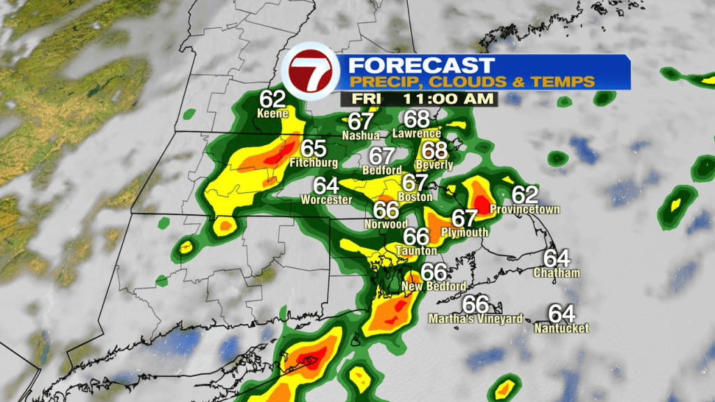
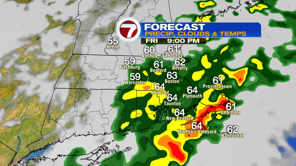
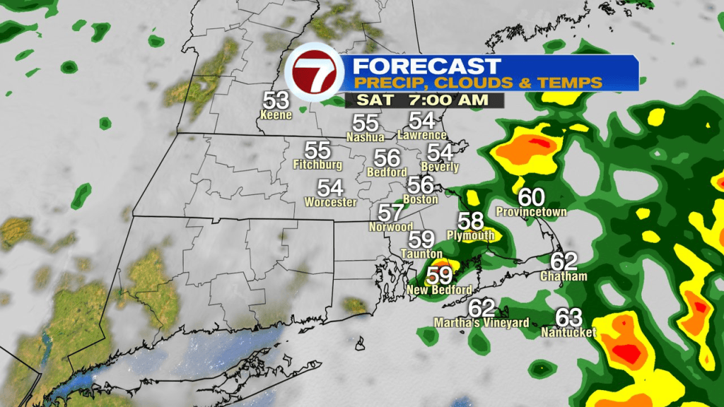
The main risk today into tonight with these rounds of showers and storms will be localized street flooding/poor drainage flooding (leaf clogged drains) from downpours dropping a lot of water in a short duration. A flood watch is up for Southeast Mass, where totals come in the highest.
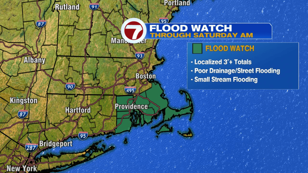
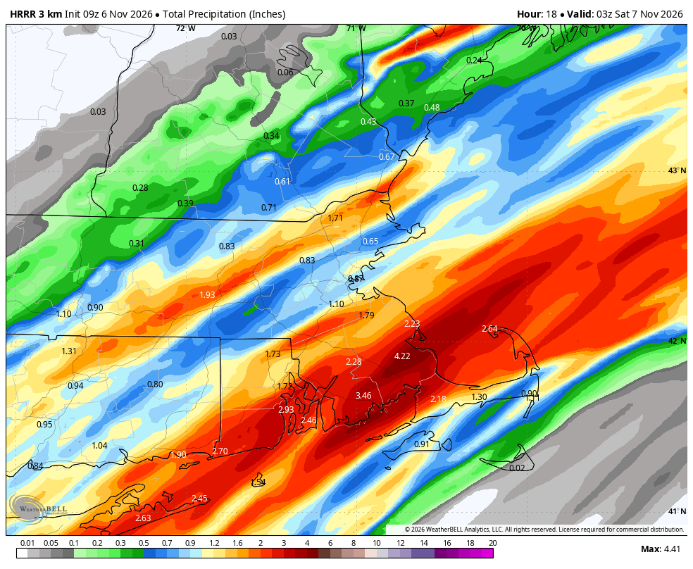
Rain totals will vary quite a bit across the region though, as is the nature of the game, with narrow bands of downpours lining up. Below is just an example of that. While these numbers won’t verify exactly like this, it shows the general theme of widely varied totals, with the best shot of locally 3″+ amounts are across Southeast Mass.
It’ll remain mild and muggy through today with temps in the mid 60s to 70 and dew points in the 60s.
Rain tapers off to isolated showers by tomorrow morning. It’ll be cooler and mainly cloudy tomorrow with a few isolated leftover showers.
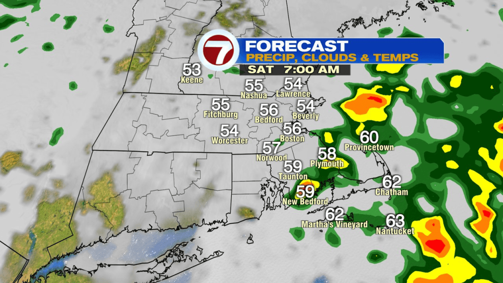
We renew the chance for more widespread showers Saturday night into early Sunday morning.
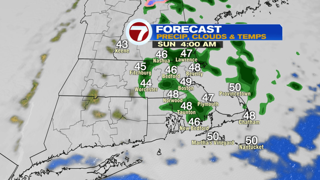
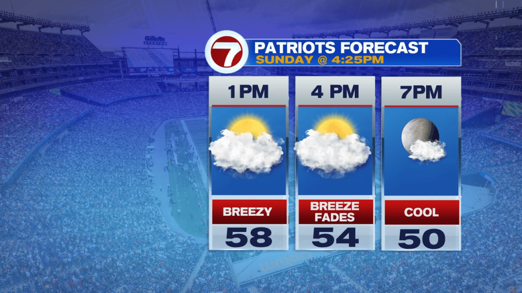
That wet weather tapers off quickly Sunday morning and by 8-9am, we’re drying out with late morning – afternoon sunny breaks reemerging. It’ll be seasonably cool and breezy, but dry for the Pats game from tailgates to the end of the game.
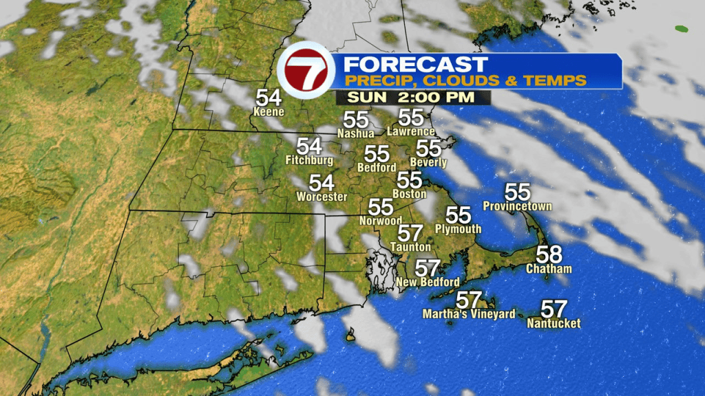
Next week is much more seasonable too with highs on most days in the 50s.