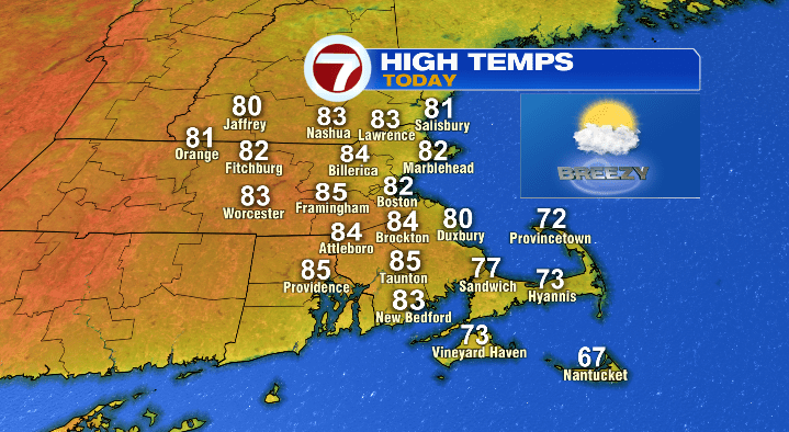
After a beautiful start to the weekend, we’re keeping the summerlike weather rolling today! We’re already well into the 60s, and it won’t be long before temperatures jump to the 70s, and eventually 80s for most of Massachusetts. The only exceptions will be the Cape (largely in the 70s) and the Islands (upper 60s/low 70s).

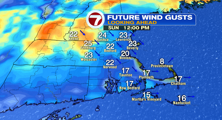
Either way, we’ll mainly be above-average with plenty of sunshine, and a sometimes stiff breeze out of the west-northwest. Expect gusts into the 20s in the afternoon.
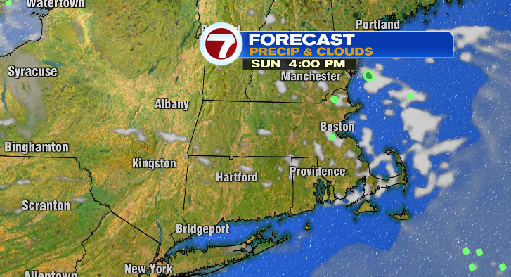
Otherwise, we’ll be watching a back-door cold front (basically just a cold front that moves more east to west instead of west to east). This could spark a little rain in parts of southern New Hampshire and Vermont, and an isolated sprinkle north of the Pike later this afternoon/evening. Anything we do see will be short-lived.
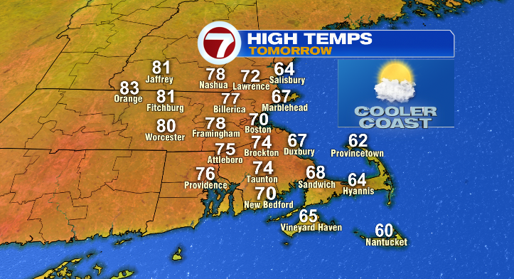
Overnight, temperatures only fall into the mid 50s– a few degrees above average for this time of year. As for temperatures Monday afternoon? They’ll be both above AND below average– the distinction being where you live. After our back-door front passes through the area, we’ll see a breeze off the water which will keep temperatures cool along the coast. Most coastal towns and cities will be stuck in the 60s, with the warmest spots around 70. On the flipside, inland areas will warm up a good bit, with areas away from the coast topping out in the upper 70s and even low 80s. We’ll be mostly to partly sunny, and breezy, but less so than today.
Things really start to get toasty on Tuesday. High pressure sinks its claws into Southern New England, and with that, warmth will build into the region… so much so that highs will be in the low 90s both Tuesday and Wednesday.
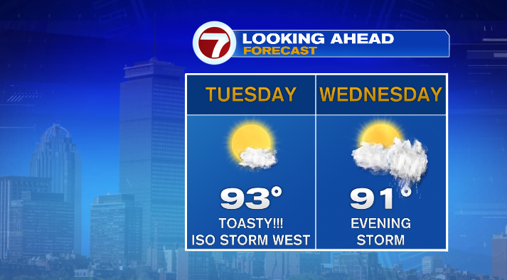
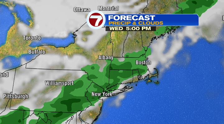
However, little areas of energy will try to chip away at this area of high pressure– some of that energy could spark a late day storm on Tuesday, largely in Central and Western Mass. Wednesday, however, the chance of storms goes up as a cold front passes through the region. That front will take advantage of the building heat and moisture in the region, leading to some heavy rain where storms set up.
After the cold front comes a blast of cooler air. This will push temperatures back down into the upper 60s and low 70 Thursday, and upper 60s on Friday and Saturday.