

Happy Friday! It’s been a windy but mostly sunny one today with highs in the 60s. It’ll be a 50/50 weekend with bright skies for Saturday but cloudy skies and rain chances for Sunday.
Most of us will drop to the upper 30s and low 40s with lows a bit warmer along the coastline in the mid to upper 40s. We’ll be mostly clear overnight.
Your Saturday will be spectacular! We’ll be cooler in the morning with afternoon highs in the low to mid 60s with mostly sunny skies.
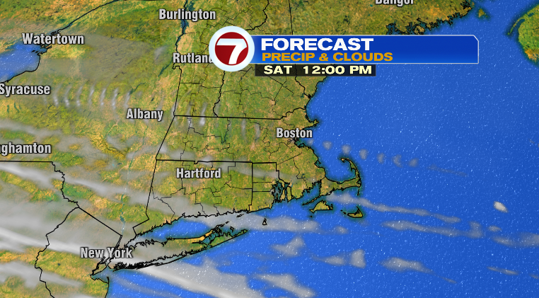
It won’t be windy like today.
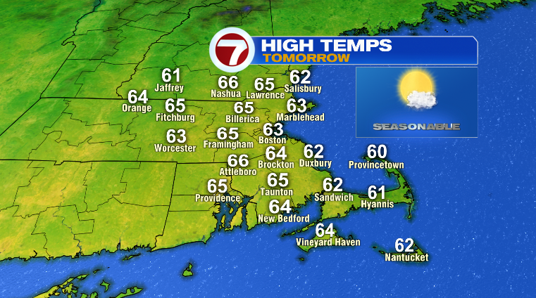
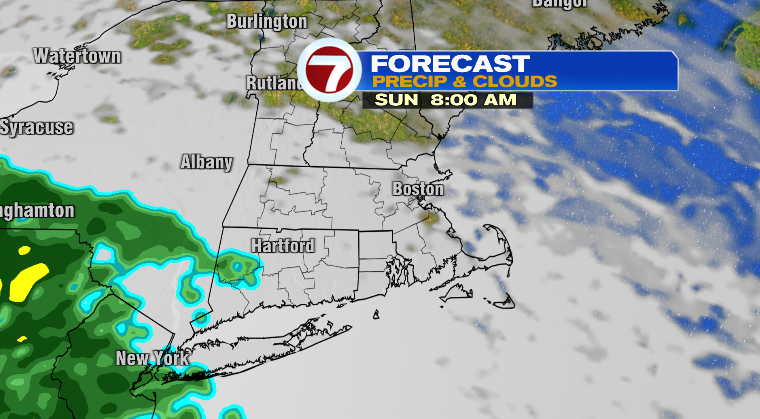
Sunday starts off in the 40s with highs in the low to mid 60s once again. There *may* be some partial sun in the morning but clouds will quickly move in ahead of the rain we’re expecting from leftover moisture from Isaias.
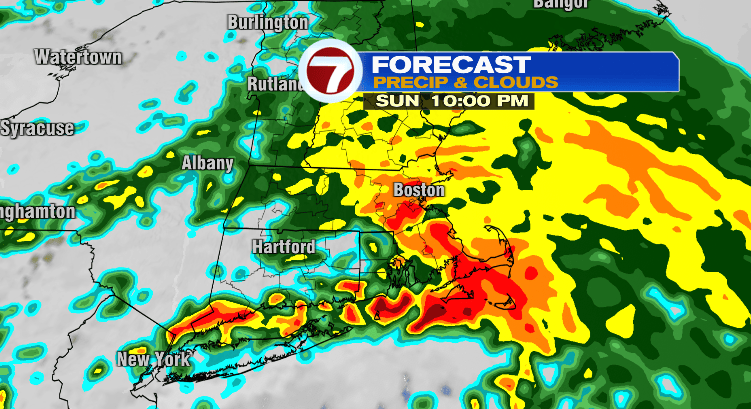
Those rain chances begin primarily after 4 p.m. with the heaviest and most widespread rain Sunday night. Most of us will see less than an inch of rain through early Monday morning.
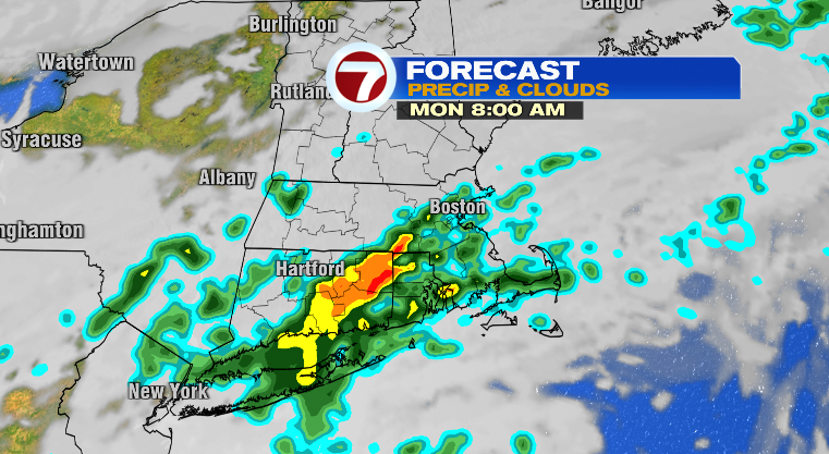
The rest of your holiday on Monday we’ll be drying out, mostly cloudy and mild with highs in the upper 60s.
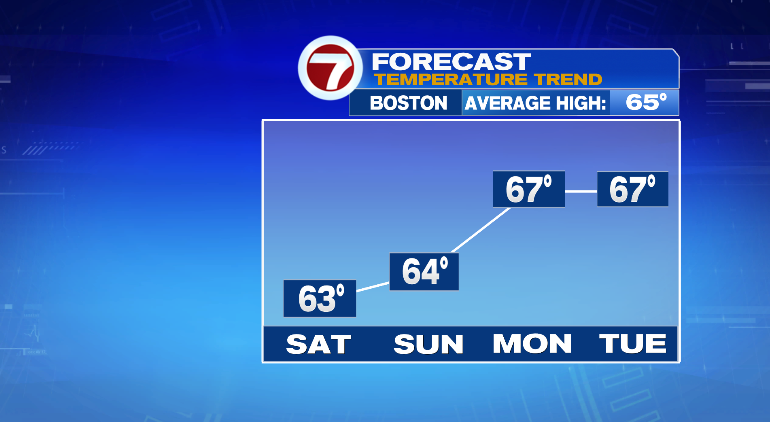
Tuesday, mostly to partly cloudy with lows in the 50s and highs in the upper 60s. We’re tracking more chances for some spotty showers Tuesday afternoon/evening and night. Wednesday: partly sunny with highs near 60 and breezy. Thursday and Friday only reaching the upper 50s. Stay tuned!