Overall, our pattern looks to remain cold with mild days being outnumbered by cold days. A fresh batch of arctic air is on the move tonight, making its way into southern New England by late evening and for all of Friday. Nothing record-breaking or uncharted territory this month but a cold Friday nonetheless.
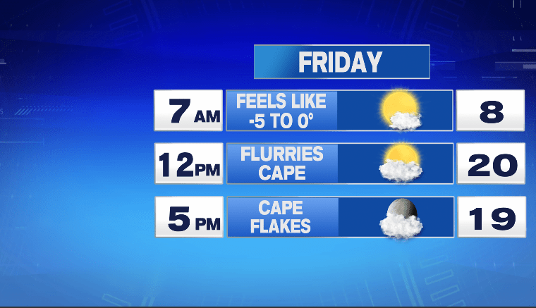
Wind chills at or below zero during the morning hours but as the day wears on, less about wind chills and more about cold afternoon temps. Most towns generally only in the low 20s for afternoon high temps. Now, you may also notice in those 12pm/5pm timestamps Cape Flakes. Oddly enough, they are the by-product of High Pressure (normally a producer of sunshine). Check out tomorrow’s weather map…
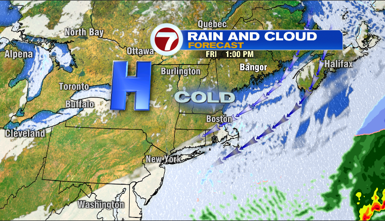
High Pressure up in the Adirondacks will promote northeast winds of 10-15mph. Not damaging but capable of scraping moisture off the Atlantic and producing clouds and even some isolated snow showers along the South Shore/Cape/Islands. In fact, this will occur from Friday afternoon right through midday Saturday and because of that, some accumulation of snow is likely along the coast. Here is the snowfall map for those ocean-effect snow showers…
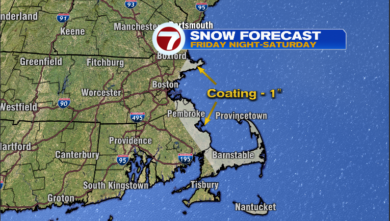
if you live west of a line from Portsmouth-Boston-Providence, it’s a non-issue for you so plan on abundant sunshine the next few days…
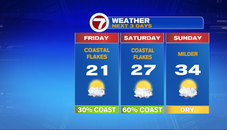
Looks like a great winter weekend on tap for winter weather enthusiasts who are planning on some skiing, skating or just simply being outside soaking up some January sunshine.
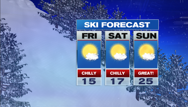
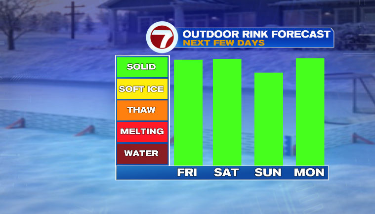
Enjoy!
~JR