After reaching the upper 80s and lower 90s again yesterday, the day came to a close with strong to severe thunderstorms that produces pockets of tree damage with winds gusting 50-60mph. With more rain in the bucket across much of Southern New England, the monthly totals continue to add up. With just under 10″ of rain in Boston, it’s been the second wettest July on record.

In the wake of last night’s storms, we start off today cloudy and a bit damp with a few leftover light showers. The rain is limited this morning and won’t add up to all that much. In fact, we’ll see the clouds break apart late morning and get some more sunshine in the afternoon. While a spot shower across the interior is possible this afternoon, much of the day ends up being dry. It’ll be much cooler too with highs in the low 70s at the coast, mid to upper 70s inland. Dew points slide down into the 50s later today, allowing for a drier feel to the air as well.

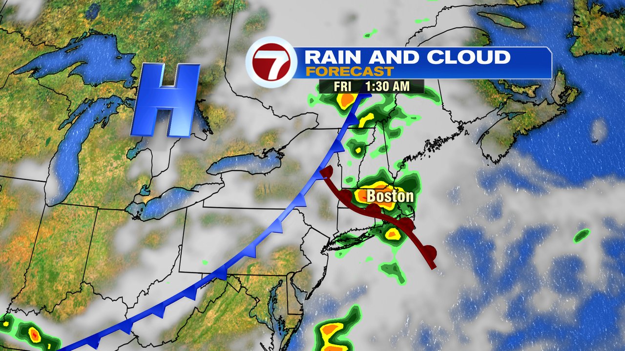
While a spot shower or two is possible tomorrow afternoon, a higher risk for showers and thunderstorms moves in tomorrow night/predawn Friday. With the warm front sliding through, we’ll watch the potential of a few strong storms overnight as well. Friday looks mainly dry after sunrise.
The pattern overall is near to below seasonable levels as highs between 75-80 hang on the next several days.

Dew points Saturday lower into the 40s as a flash of Fall moves in with a taste of September. The lower humidity will allow for temps to fall into the upper 40s Saturday morning in the coolest burbs, upper 50s in Boston.
