

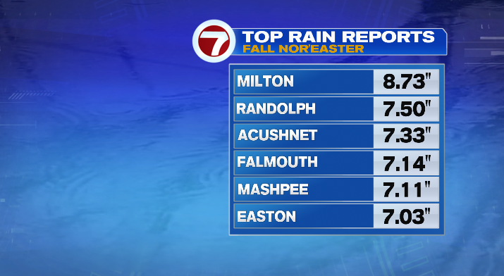
Happy Monday! Wow, what a weekend with our nor’easter! The rain lingered today but it was much less intense. Winds were breezy, but overall less intense than the past few days.
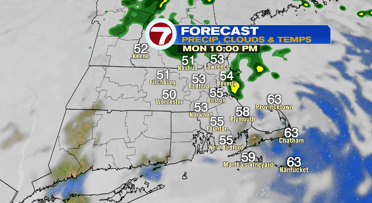
This evening, you can expect the raw conditions to continue. Spotty showers through tonight, a bit of a breeze and cool temperatures in the 50s.
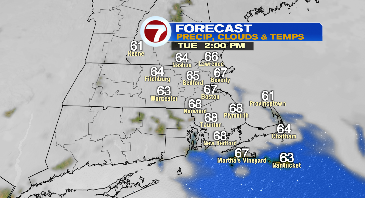
Tuesday we’ll wake up in the 50s with afternoon highs in the mid to upper 60s. It’ll be dry but still on the cloudy side. Still, a good day for cleaning up debris in your yard!
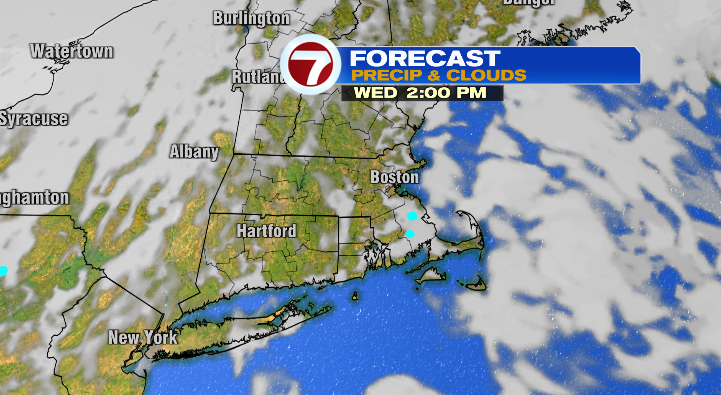
Wednesday will be a pleasant day! Skies look partly to mostly cloudy but the biggest difference will be the temperatures.
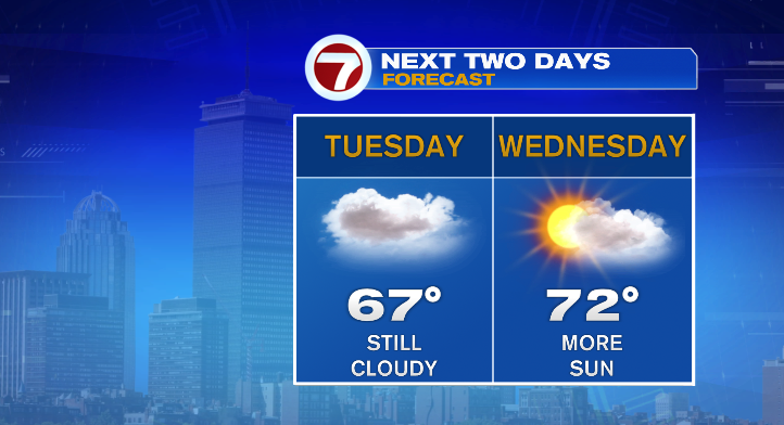
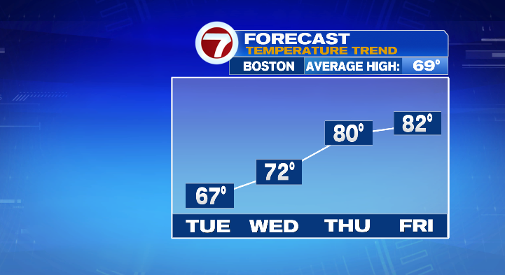
We’ll be in the 50s again in the morning but afternoon highs will finally climb out of the 60s and into the low 70s.
The big warm-up comes Thursday. The morning will be just as cool but highs will skyrocket all the way into the upper 70s and low 80s. It’ll even feel a bit humid, too. So a nice little reprieve from the cool temperatures and gray skies. Friday: even warmer! Low 80s after a morning in the 60s. The day starts dry but we have some chances for showers in the evening.
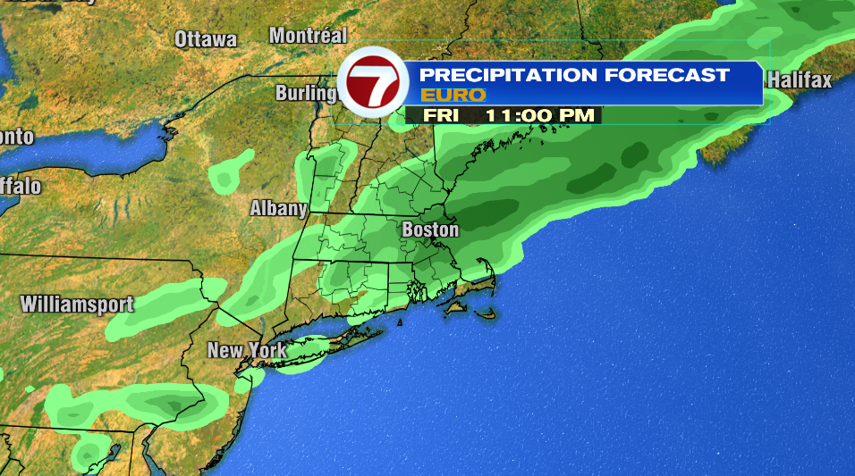
Saturday we cool right back down! Lows in the 50s with highs in the upper 60s, with a low-chance for an early shower before bright skies.
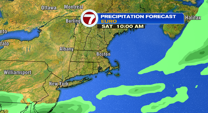
Sunday, lows tumble to the 40s with highs in the low to mid 60s and a chance for some rain in the latter half of the day. Monday looks bright with a chilly morning before warming to the mid 60s. Stay tuned!