

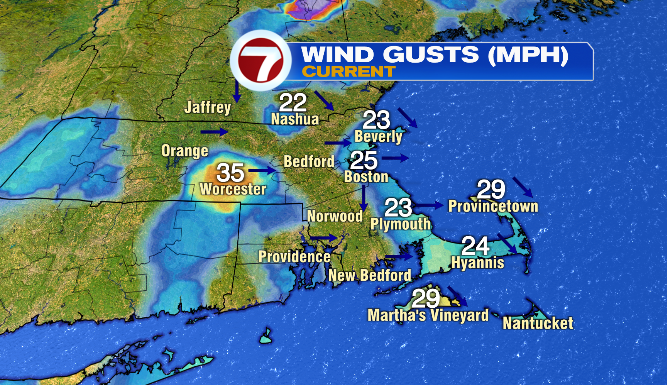
Good morning and happy Sunday! It’s a very different day than the last two, especially considering some of our southeastern Massachusetts towns wound up with 5″+ of rain in a 48-hour stretch. Not that today is (technically) rain-free, but we’ll have much brighter conditions overall.
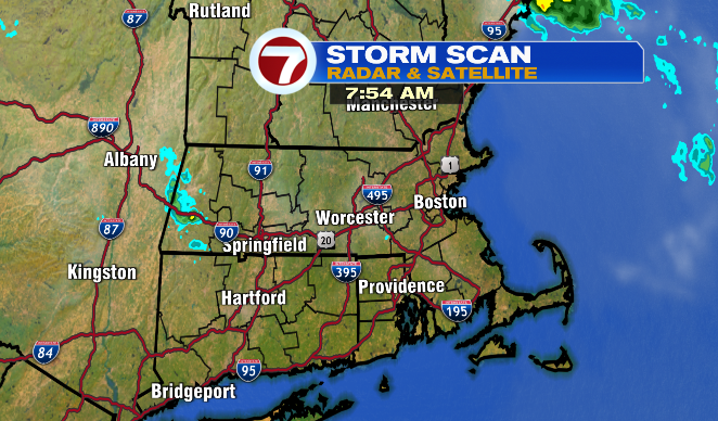
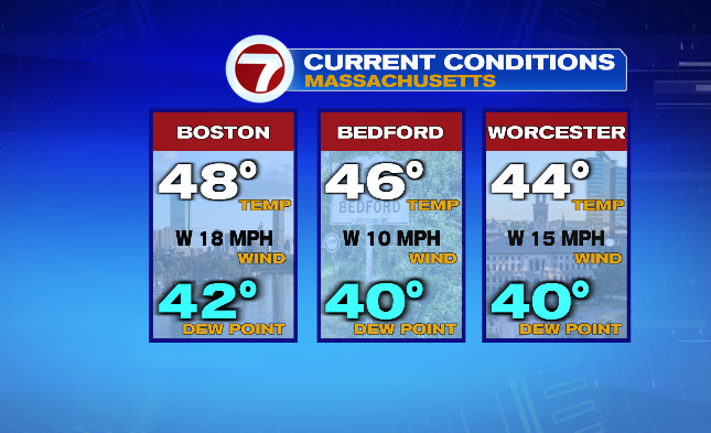
We’ll start with this: this morning we’re waking up to a few isolated showers in central and western Massachusetts, as well as temperatures in the 40s.
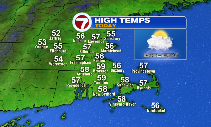
As we head into the afternoon, those showers fade and we wind up with a mix of sun and clouds. High temperatures this afternoon will be in the mid and upper 50s– not far from, if not just a tiny bit above average for this time of year.
The biggest potential issue we face today is that it’s going to be quite windy! Expect gusts in the 20s and 30s, while wind speeds will largely be in the teens!
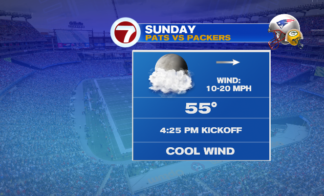
With that in mind, and the fact that sunset is at 4:30PM in Foxboro today, it’s worth bringing an extra layer if you’re heading to Gillette to watch the Pats take on the Packers. Kickoff is at 4:25PM, but with the sun setting so soon after the game begins and the stiff breeze, it’ll feel pretty chilly by the second half.
We’ll wind up with low temperatures largely in the mid 40s by the time we reach Monday morning. Monday will still feel a bit like a transitional weather day, with a few scattered showers possible in the first half of the day, and gusts still in the teens and 20s. We’ll be in-and-out of the clouds again as well, and highs will be in the mid 50s.
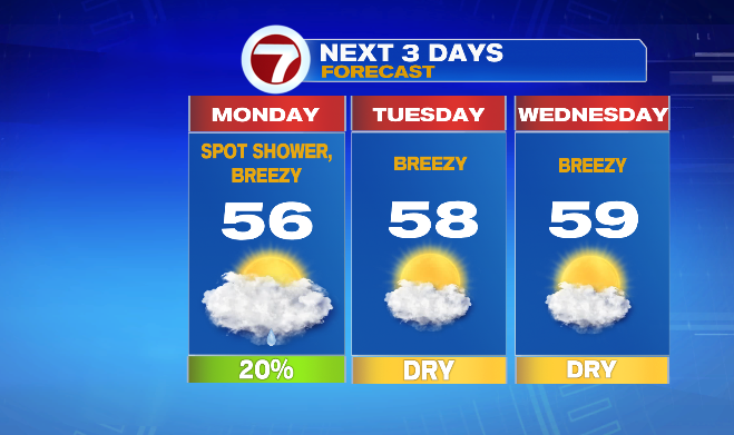
Tuesday and Wednesday (Veterans Day) look brighter, with a mostly to partly sunny sky each day and high temperatures in the mid to upper 50s. Both days will also be breezy, but not as much as today or Monday.
Thursday will be cooler, but still right around average with highs in the low to mid 50s. Clouds increase as well. This is all out ahead of our next storm system… and this one, we really have to keep an eye on. There’s still a lot of discrepancy in exactly what this storm will bring, but right now it looks like while it could start with showers late Thursday night and Friday, there’s enough cold air for this storm to end with a mix of rain and snow on Saturday.
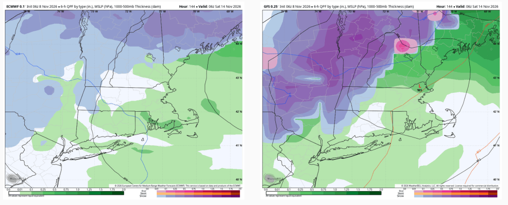
We’ll keep you updated throughout the week as we nail down the details of this next storm!