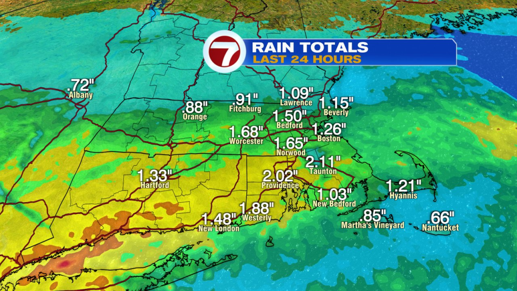
A healthy dose of rain moved in yesterday as mid to late afternoon weather went downhill. With many hours of steady rain through the evening, rain totals added up to 1-2″ for much of Southern New England. While totals were significant, the amounts were spaced out enough over times that it wasn’t much of a flooding issue other than some poor/leaf clogged drainage areas collecting water.
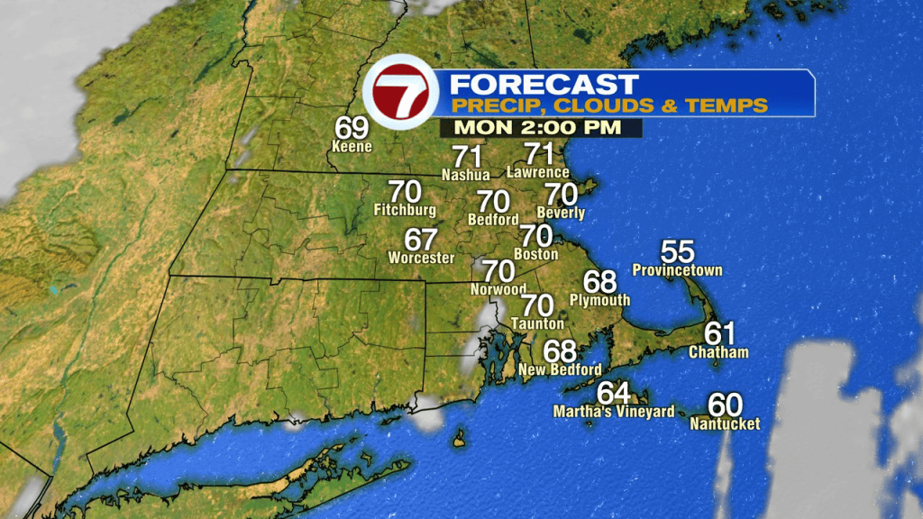
We awake to early drizzle and a damp ground this morning, but will see improvements quickly through the morning. By midday/afternoon, a good deal of sunshine returns and temps will warm back up to near 70. Overall, a solid finish to the long holiday weekend.
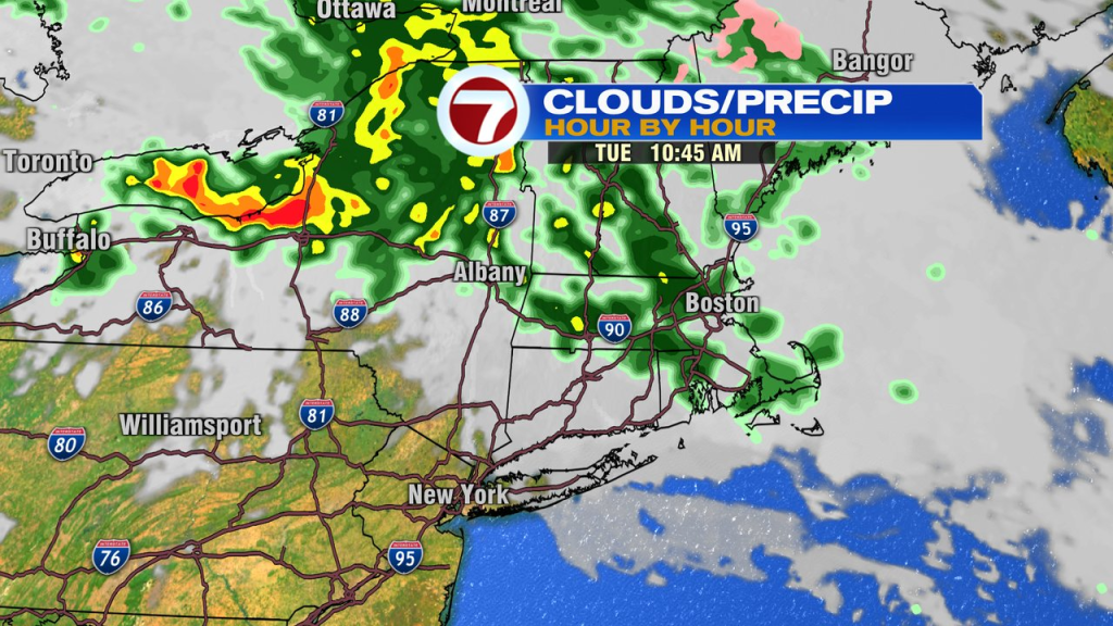
We’ll track the chance for showers again tomorrow as a front is draped across the area. Temps tomorrow will be significantly cooler with highs in the 40s and low 50s across northern Mass and NH to low 60s south of the Pike.
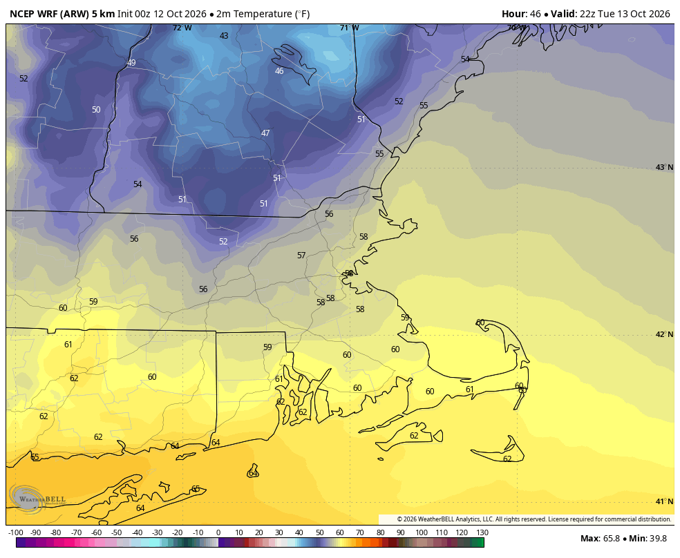
As the front moves back north Wednesday, we warm back up, likely into the 70s.
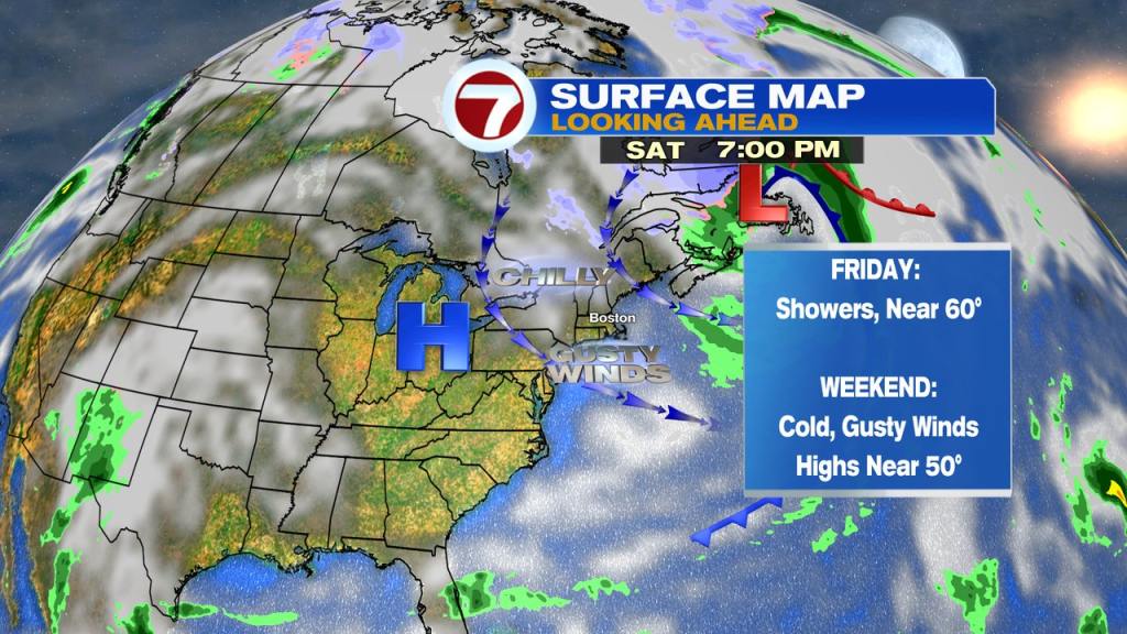
Thursday and Friday looks seasonable temp wise with highs in the low 60s. Friday will bring in the chance of more wet weather.
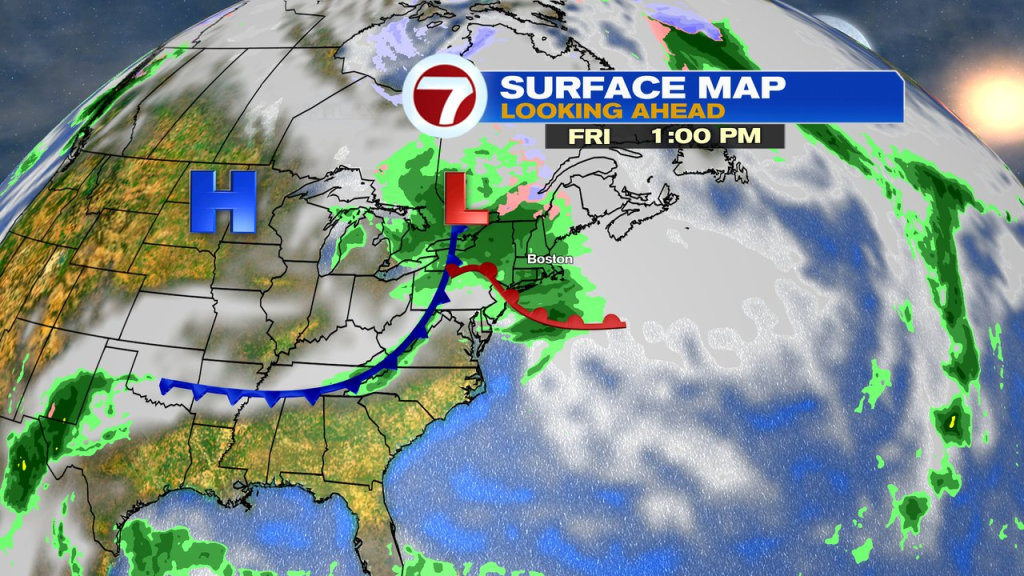
Friday night a cold front comes blasting through with a chilly, gusty wind. Snow showers are likely across the higher terrain of central and northern New England too!
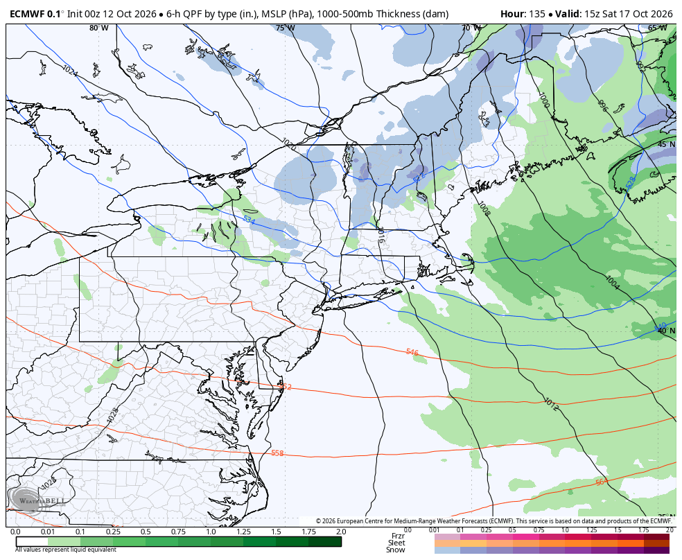
In the wake of the front, the weekend is chilly with highs near 50 and a gusty wind Saturday. Can’t rule out a spot shower Saturday, but much of the weekend is dry.