It’s been a cool and dreary end to the week, but you don’t have to wait long for a BIG taste of summer!
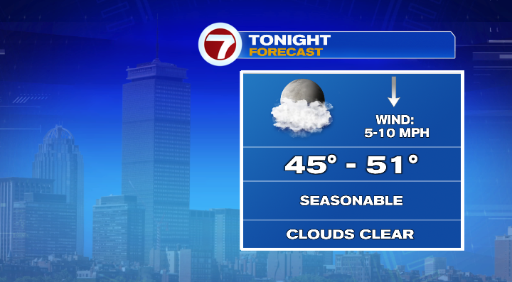
This evening will remain cool, though clouds decrease tonight as low pressure finally leaves the area.
Temperatures will fall into the upper 40s and low 50s by the time we wake up early on Saturday. But this is where things start to shift!
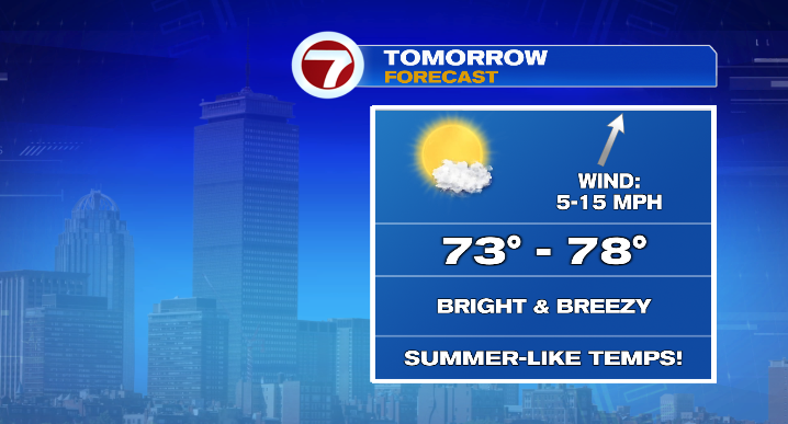
We’ll see a southwesterly breeze and warmer air building into the region starting on Saturday! It’ll be mostly sunny and breezy, with gusts in the teens and 20s, but highs will be in the mid to upper 70s!

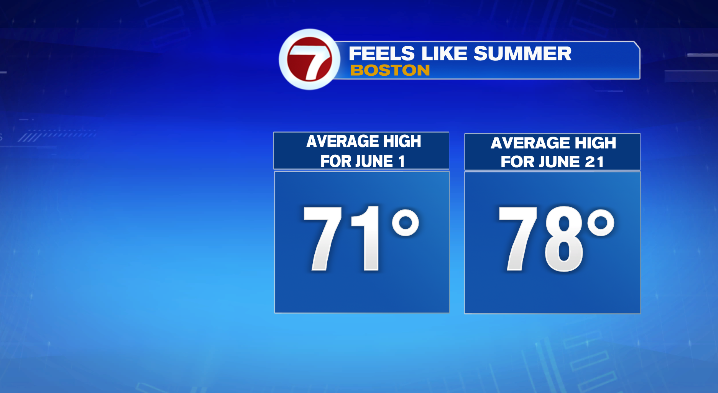
To put that in perspective, high temperatures will be closer to our average high on June 21 (the summer solstice), which is 78 degrees, rather than the average high for May 16, which is 67. Truly a taste of summer… and Saturday is just the start.
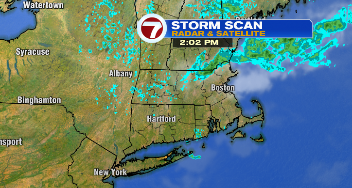
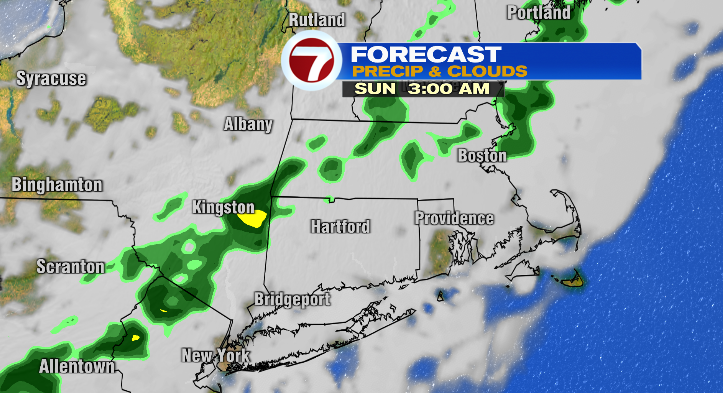
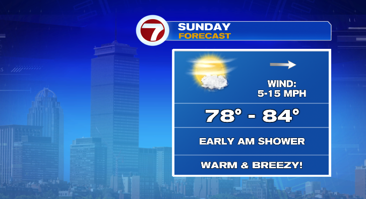
A quick-moving disturbance will bring some clouds around Saturday evening, as well as a few showers overnight into early Sunday morning.
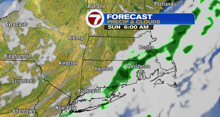
Clouds clear afterwards, and we’re left with a mix of sun and clouds for most of the day. As warm air continues to build, temperatures get yet another boost, and we’ll see highs in the upper 70s and low to mid 80s! Despite the breeze (gusts in the 20s), it’ll be a warm-feeling day!
A back-door cold front sweeps through the region by Monday morning, which will keep high temperatures from climbing any higher for the day. We’ll be mostly sunny and in the mid to upper 70s. A few spots could reach 80s. That said, thanks to that front and a breeze off the water, you can expect cooler weather for the coast (temperatures in the 60s).
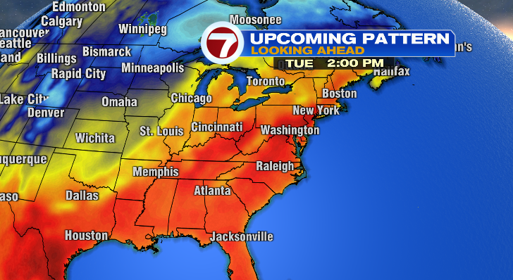
But you know how people say there’s such thing as too much of a good thing? Well, that pretty much describes the pattern as we head into the middle of the week. We go from a nice, summery-warm weekend and Monday, to an absolutely roasting Tuesday and Wednesday. How hot is “roasting”, you ask? We’re expecting highs to top out around 90 degrees both days — for perspective, that’s higher than our highest average high by about 5 degrees. Yikes!
The intense heat only lasts so long though, as another cold front comes through Wednesday night into Thursday morning. That front will help drive some rain into the area and cool us down as well– highs on Thursday will be back in the 70s.