

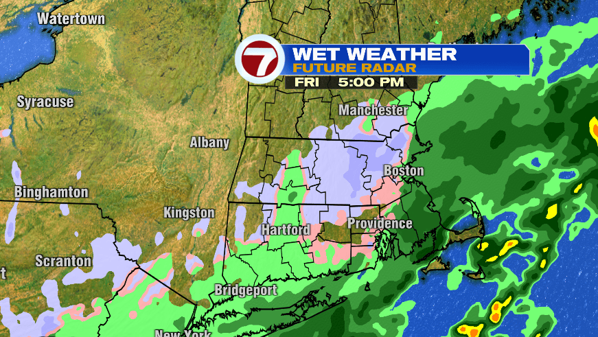
I’ll skip the reveal because by this point you’ve probably heard or read about the potential for snowflakes on Friday. There’s been little to no change in our thinking that this is going to be a non-event for just about all of us. The highest terrain may see a coating on the grass Friday, that’s about it. At the end of the day, it’s just too warm for snow to sustain itself, let alone stick and accumulate on a ground that has been above freezing for the entire month so far. If anything, you may see minor accumulations on grassy or elevated surfaces.
Timing wise, the only change is Thursday maybe looks a little wetter. I want to stress wetter, not whiter. Thursday is too warm for snow. Any snow potential will be on Friday.
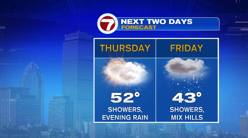
Initially on Thursday we deal with on and off showers through the day with clouds. Temperatures are chilly, but honestly pretty normal for mid November. While it’ll be a cool day, it’s too warm for snow, even in the higher terrain. We’ll stay as rain overnight and then early Friday morning, the highest terrain (Mt. Monadnock, Worcester Hills, Berkshires, etc) will see some snow flakes mix in with the rain.
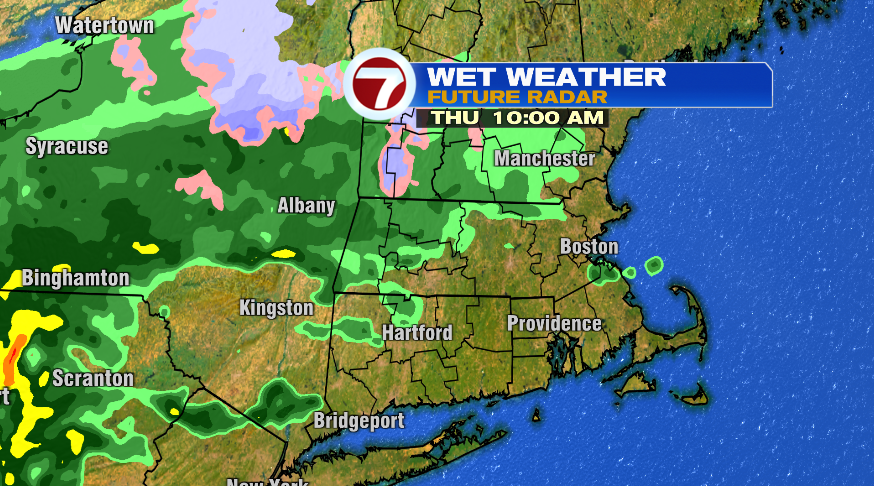
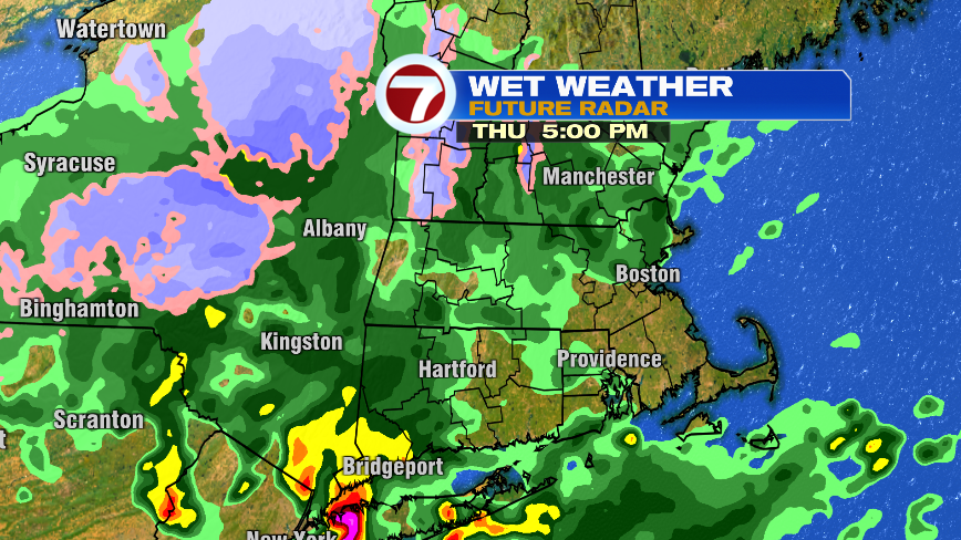
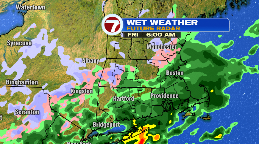
During the day on Friday the storm will continue to push east and away from southern New England. As that happens it’ll flip our wind from the northeast to the north. For the day on Thursday and Thursday night, we’ll have a northeast wind coming off of the water. Water temperatures are in the 50s so that doesn’t bode well for any snow. However, as the wind flips to the north, the colder air can push in from northern New England and that’s when a few more of us will see our snow potential.
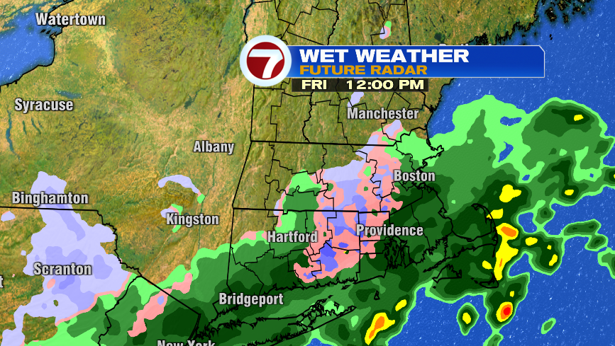
So again, this is really just a novelty snow than anything else with virtually no impact. It’s just a reminder from Mother Nature that winter is indeed right around the corner and it may be time to dust off the winter clothes, and dig out the shovels and ice scrapers for our next *real* snow. Whenever that may be….