

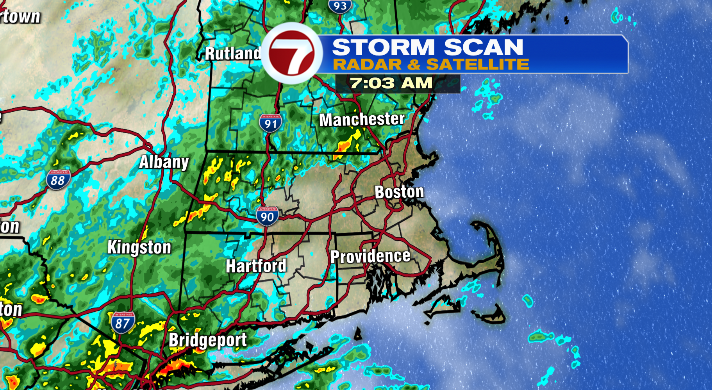
Good morning– it’s a busy day in the weather center as rain moves through New England. We’re already seeing not only the first drops, but also the first pockets of heavy rain as well, and there’s more where that came from.
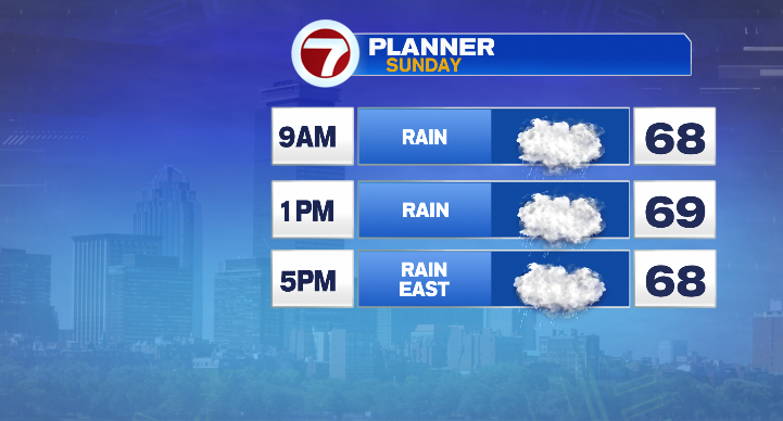
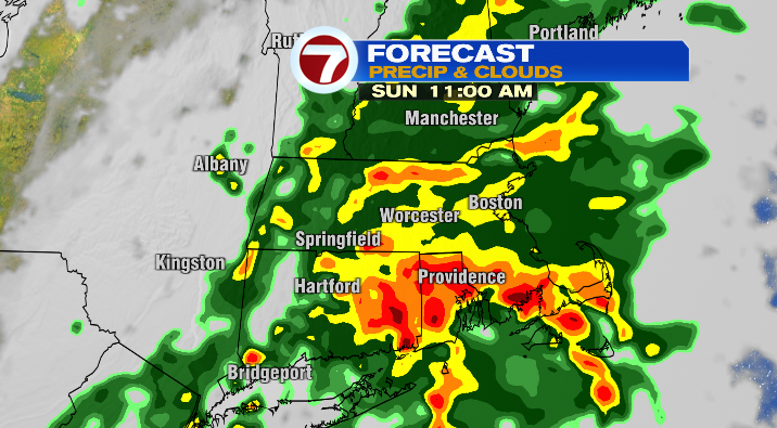
We’ll see rounds of rain, some of which will be heavy, through the mid afternoon. The farther west you live, the sooner you see the rain, but the sooner it comes to an end. The opposite goes for those farther east.
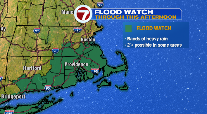
With the potential for particularly heavy bands of rain to set up in southeastern Massachusetts (2″+ possible), we have a Flood Watch in place all the way through this afternoon.
Make sure you’re staying weather-aware, and being smart behind the wheel! Turn around, don’t drown– don’t ever drive over a flooded roadway!
You can’t truly tell how deep the water is until you’re in it, and you can’t trust the integrity of the roadway underneath the flooding either.
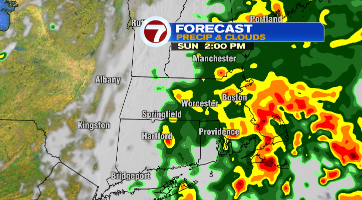
The final raindrops from this big swath move out of the Cape and Islands between 5-7PM. That said, we could still see a shower or downpour even later tonight– just on a much more isolated basis.
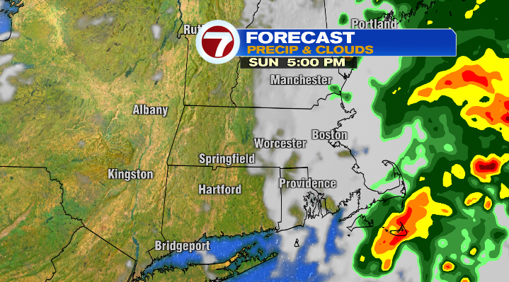
Temperatures today will be in the upper 60s and low 70s.
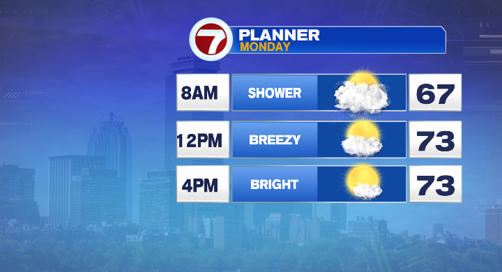
We start the day tomorrow with a final few showers, largely before 8 AM. These will be less widespread and more isolated, but still something to note for your morning commute.
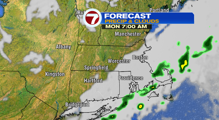
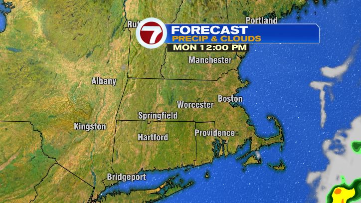
That said, we take a quick turn from soggy to sunny by the afternoon, with clouds decreasing later in the morning. It’ll be a breezy day with gusts up into the 20s, but it’ll be comfortable enough for this time of year with temperatures in the upper 60s to mid 70s.
We keep the sunshine rolling on Tuesday. In fact, Tuesday looks cool but gorgeous. The wind dies down, we’ll stay mostly sunny, and we’ll have highs in the mid to upper 60s and low 70s.
Our next chance of rain isn’t until Thursday, at which point we could see a few showers, and a rumble of thunder is possible!