Not a bad start to the day with some morning sun and mild temps as today will be the pick of the weekend with clouds filling in this afternoon and temps in the mid 50s. Watch for a few sprinkle along/south of the Pike this afternoon and even a few late-day showers in Southeast Mass, south of Route 44.
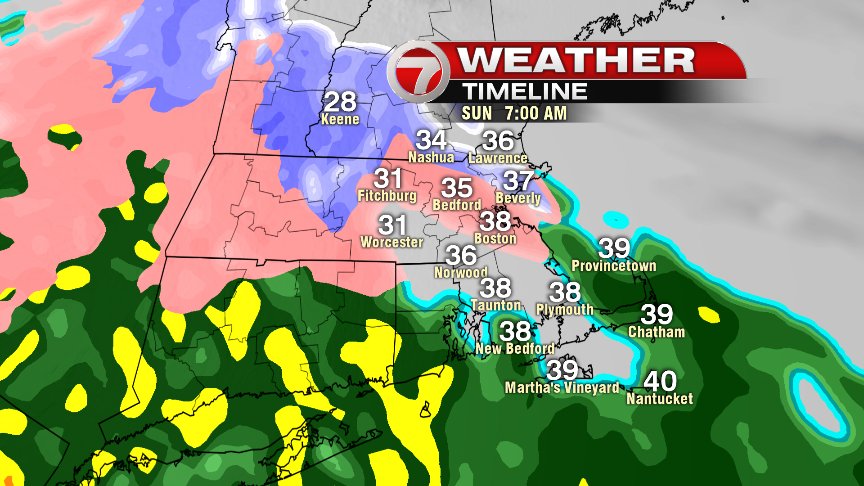
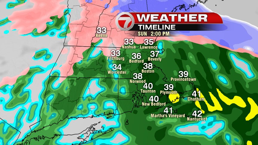
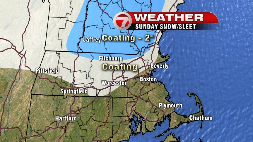
While the weather’s not too shabby today, Sunday is a different story. Two thumbs down on this one in Southern New England as an icy mix in the morning, flips to a cold rain in the afternoon. While we’re not talking about eye popping rain totals or damaging winds or anything like that, a general 0.50″-1.00″ of rain stretched through the day, with temps in the 30s to near 40, will certainly leave something to be desired. Blah! The best chance for a tenth or 2 tenths of an inch of freezing rain will be in northern Worcester County after some sleet and snow early.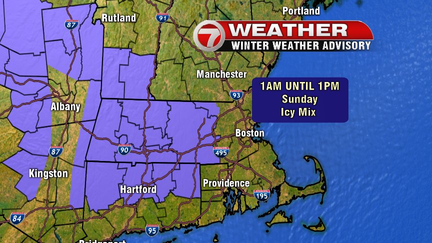
Early to mid week next week looks good, near 50 and dry.
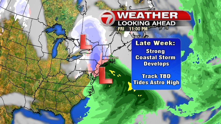
Late-week/next weekend, we’ll have to keep an eye on how the pattern evolves as it does favor storminess along/near the east coast. It’s hard to say at this point whether is more New England vs. mid-Atlantic or vise-versa, but worthy of watching since tides are astronomically high in early March and prolonged onshore winds would create coastal concerns. Obviously, if the storm is close to us, it’d mean substantial rain/snow/onshore winds across New England.
Have a good day, a great weekend and stay dry!
@clamberton7 – twitter