

Happy Tuesday! It’s been a beautiful day so far. We had some sprinkles in northeast Massachusetts, but most of us have been dry.
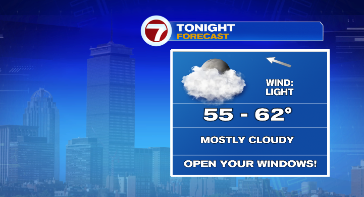
Evening temperatures will run in the 70s and 60s with overnight lows in the mid 50s to low 60s. Clouds will be on the rise overnight and humidity will, too.
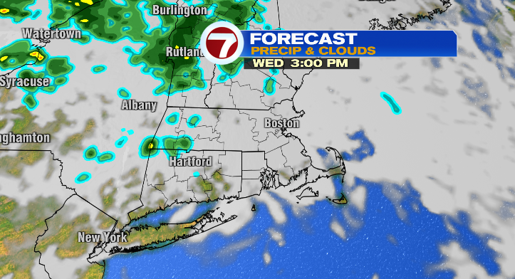
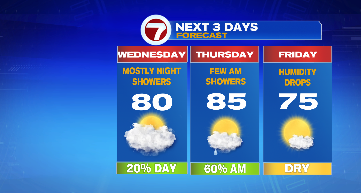
Dew points will jump back to the 60s making the highs Wednesday near 80 degrees feel more like the mid 80s. Clouds will be around throughout the day, and could produce some spot showers in the afternoon and evening.
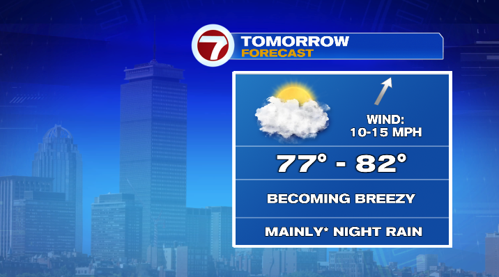
Most of the rain holds off until bedtime. We’re tracking showers overnight into Thursday morning.
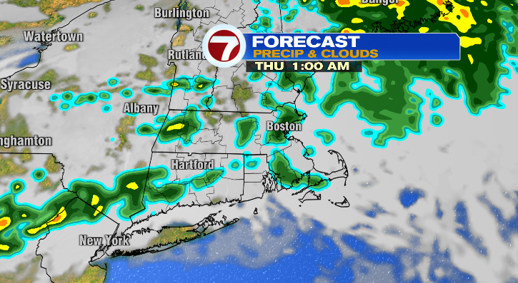
If you’re an early-morning commuter you might catch the back-end of the showers, but for most we’ll already be brightening and warming up before the morning commute on Thursday.
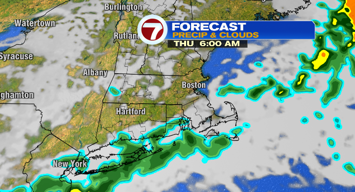
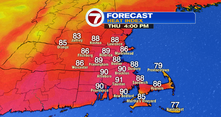
The rest of Thursday will be warm and borderline hot! Highs will reach the mid 80s, but with high dew points that’ll feel like the upper 80s near 90 degrees.
Friday looks much better! Humidity will drop like a rock, the sun will be out and shining, the morning will start near 60 degrees with highs down to the mid 70s.
Saturday, mostly sunny and reaching the upper 70s after a fall-like feel in the morning in the 50s. Sunday into Monday we’re looking partly sunny with chances for a spot shower each day and highs near 80 degrees. Tuesday: partly sunny in the mid 70s.