

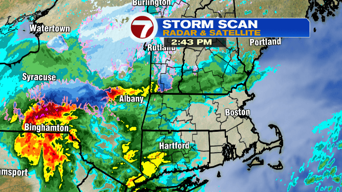
It’s been a chilly (for most), gray day as our storm starts to make waves across the region.
We’ve seen a few showers too, though mainly in central and western Massachusetts, and there will be more where that came from by tonight.
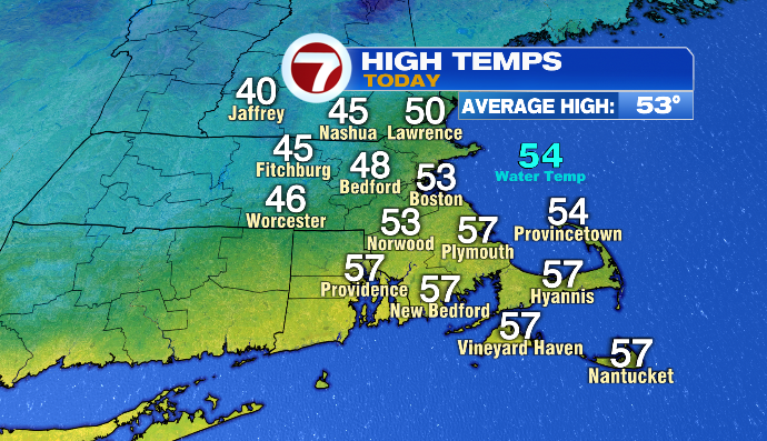
Temperatures have been in the 40s and 50s so far today, and will end up largely in the low 40s and upper 30s overnight.
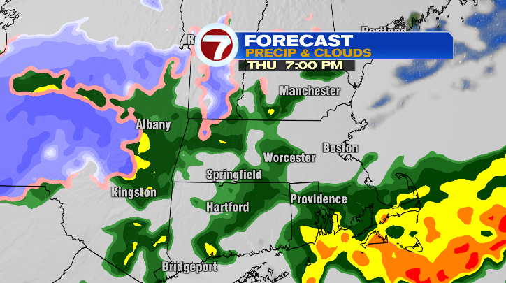
As the air cools this evening, the next round of showers arrives (long after sunset… though I suppose that’s not too difficult to say with sunset being at 4:25PM today). Rain will move in from the south, impacting areas south of the pike around 6-7PM, and areas north by 8-9PM or so.
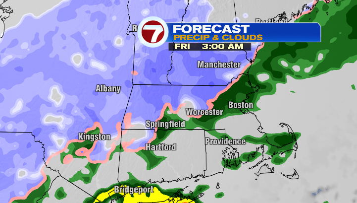
The next part of this forecast has arguably been the talking point of the week: overnight into Friday morning, as we reach our lows, higher elevations could see a few mixing snowflakes. Areas like the Worcester Hills could see a slushy coating at most. Even the Berkshires are looking at mainly slushy, wet snow rather than some early-season powder.
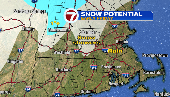
It’s just not cold enough to see more than that, in the air or on the ground. Even the areas with a coating will see that coating come and go rather quickly considering how mild the ground temps have been (at least compared to freezing).
This isn’t a big snow event. It’s just the first time this season that we have a chance to talk about snow at all in southern New England, and the internet seems pretty excited about that.
If you DO want to see some snow accumulate, head to the Adirondacks (NY), the Greens (VT) or the Whites (NH) for some high-elevation snowfall.
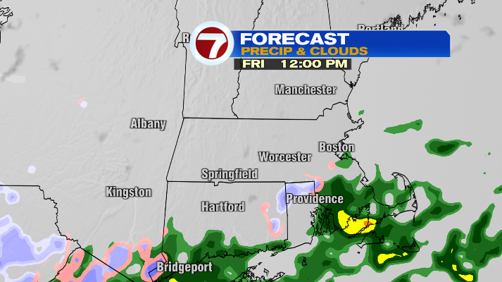
Precipitation dwindles throughout the day tomorrow, decreasing from north to south. Showers will linger in southeastern Massachusetts tomorrow afternoon, but even the areas that dry out will be mostly cloudy, chilly and breezy (gusts in the teens and 20s). Temperatures will only be in the low to mid 40s tomorrow, so dress for the chill!
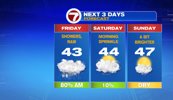
Saturday will start out mostly cloudy, cold and breezy as well with the last of this storm’s impacts. We’ll wake up to the upper 20s, and highs will once again only be in the low to mid 40s. We have the potential to see a few sprinkles throughout the day.
Sunday we finally take a turn for the brighter! It’ll still be cool, even for November. Highs will only be in the mid to upper 40s and we’ll be breezy too. However, instead of being socked into the clouds, we’ll have a mix of clouds and sun.
Even Monday, while bright and sunny, will still only be in the upper 40s. That said, temperatures rebound quickly, into the 50s and eventually the 60s later in the week!