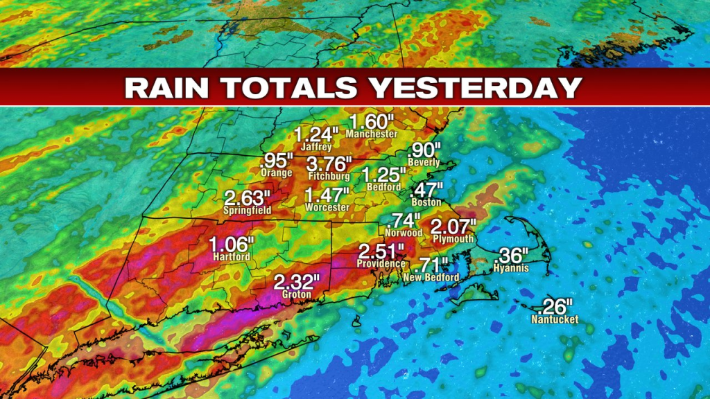
Summer’s soup yesterday as tropical humidity helped duel tropical downpours. As rain came down fast and furious, we did have some pockets of street/poor drainage flooding. A couple of bands of heavy rain produced 2-4″+, one northwest of Boston, one across Southeast Mass, RI and parts of CT.
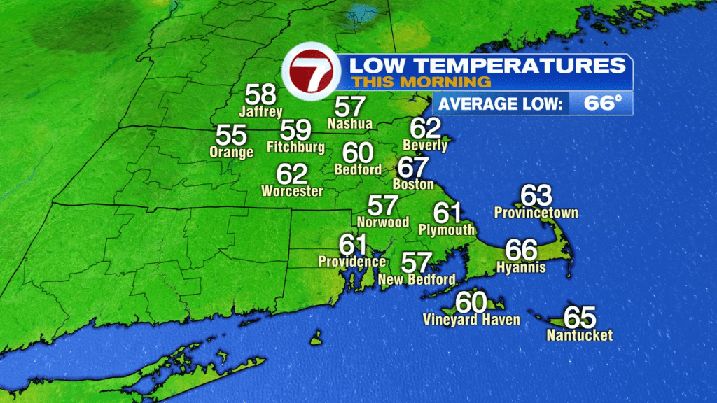
Once the front moved through late-day, humidity started to drop off, allowing for a more comfortable overnight and a comfortable start this morning. We start today off in the 50s and 60s with dew points back into the 50s and low 60s.
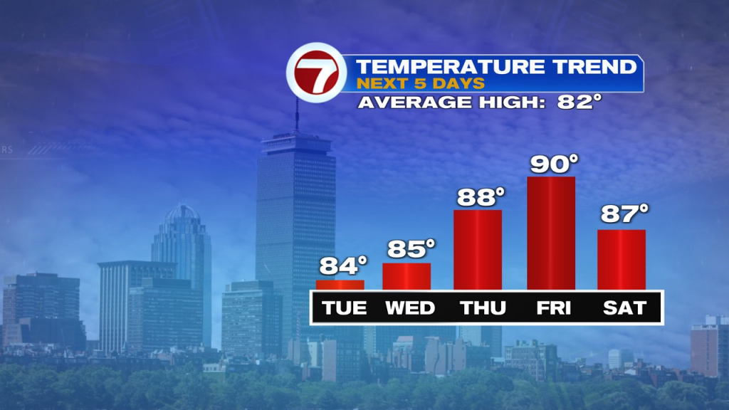
Highs today head back into the mid 80s and we’ll be pretty close to that again tomorrow as the two days are very similar.
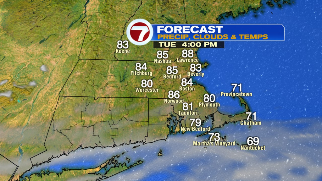
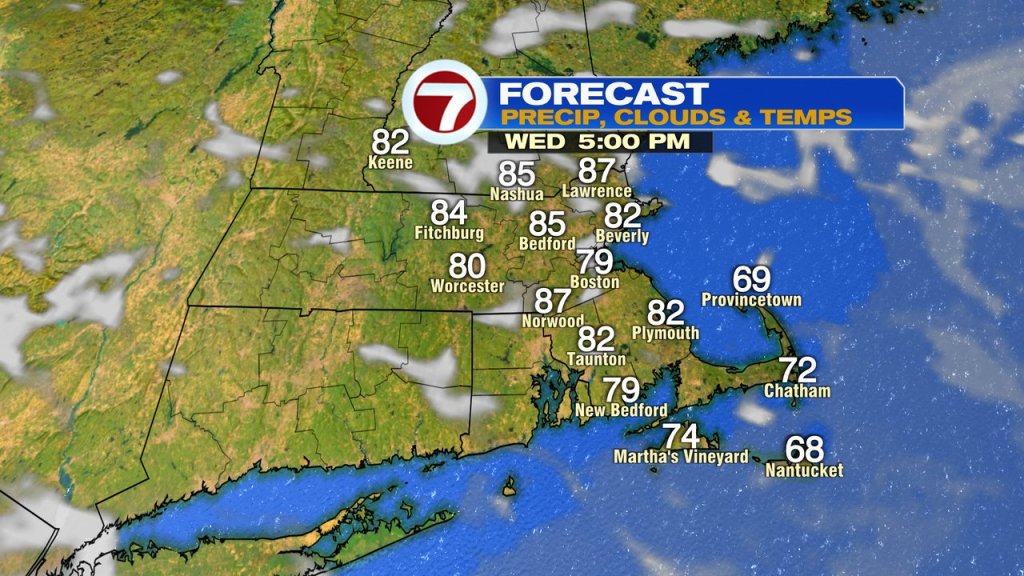
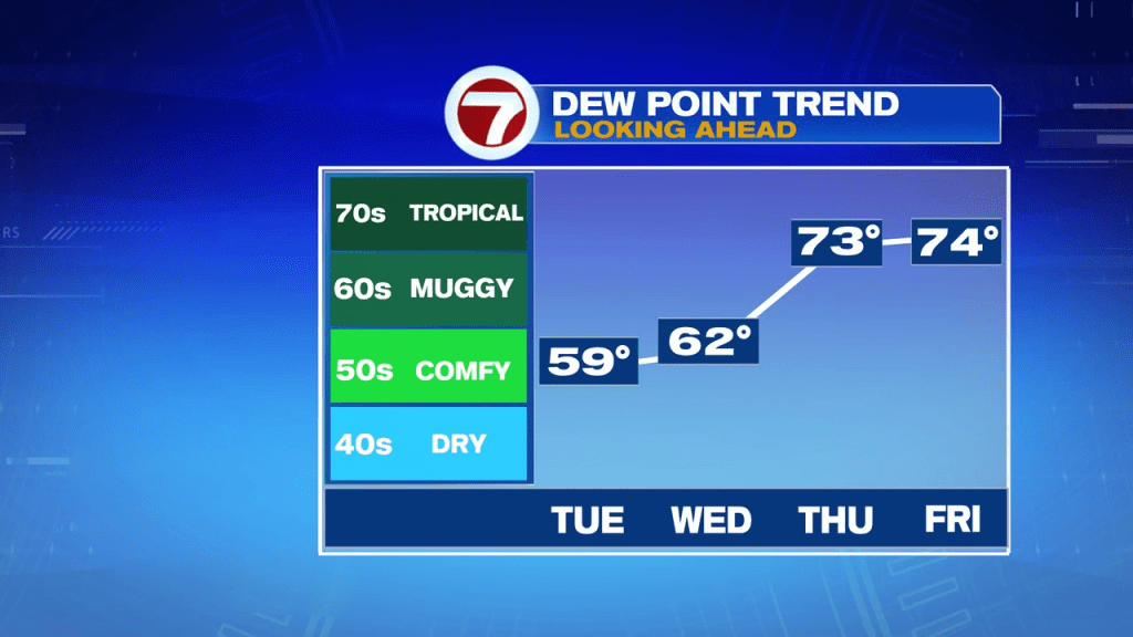
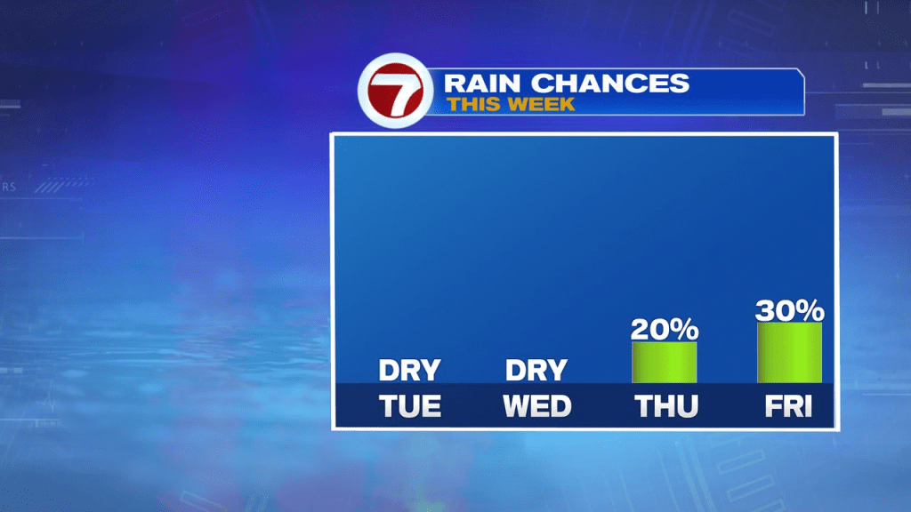
Humidity ramps back up Thursday, and stays high through the weekend. The pattern is warm too, mid 80s to low 90s with a few spotty storms late Thursday and some scattered storms Friday. A passing storm is possible at times over the weekend, but it looks like we’ll have a lot of dry hours in there too.