

Editor’s Note: Tonight’s blog is written by 7Weather intern Owen Vetree ~JR
We are nearing the end of wet Wednesday. The rainfall totals vary greatly across the area.
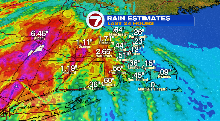
The “jackpot” zone has been to our west, just south of Albany NY where totals are closing in on 10 inches. Back in our area, amounts haven’t been super impressive thus far. Most spots along I-495 have picked up about half an inch of rain so far today. A lot of locations along the immediate coast south of Boston have seen less than a quarter inch. In fact, portions of the Cape and Islands have only seen a few sprinkles not amounting to much. On the other hand, Worcester and the surrounding area have seen over two inches. A few towns are closing in on 4 inches. Flash flooding has been reported in this area, if you are driving near Worcester, you should be mindful, and use caution.
You can expect on and off showers and downpours across the area throughout the night and into Thursday.
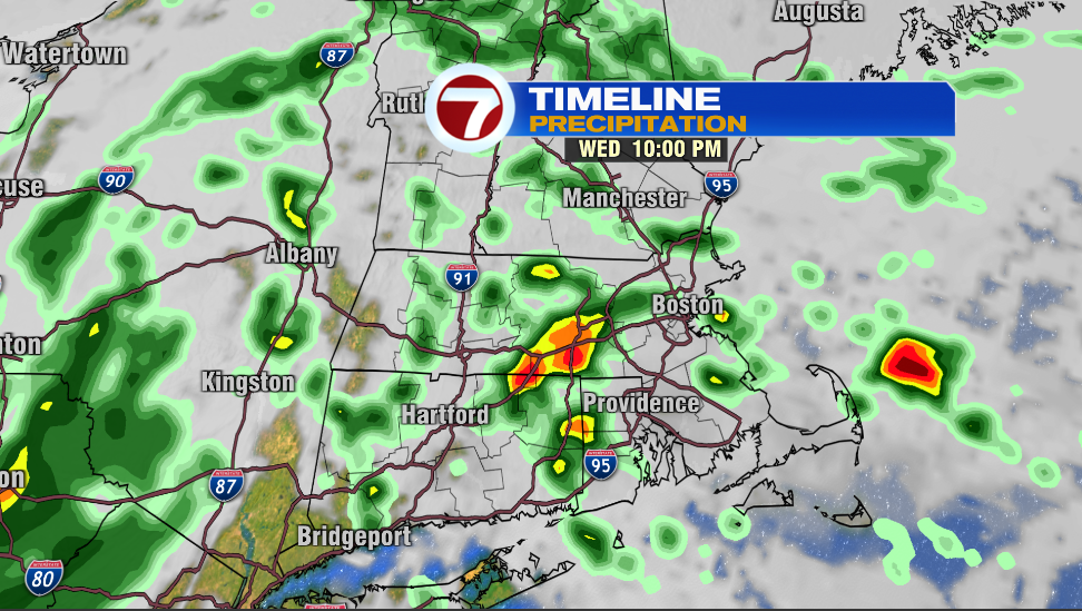
Here is how things look at 10pm Wednesday, scattered showers.
Let’s take a look 12 hours later at 10am Thursday morning.
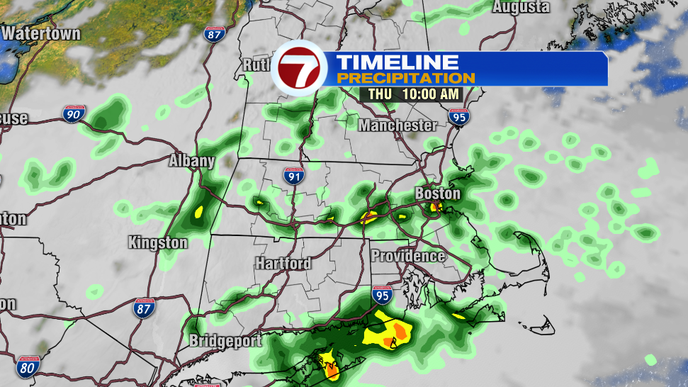
You’ll notice it looks very similar, except there isn’t as much orange and red on the map. This suggests that the scattered showers are becoming lighter and slightly less numerous.
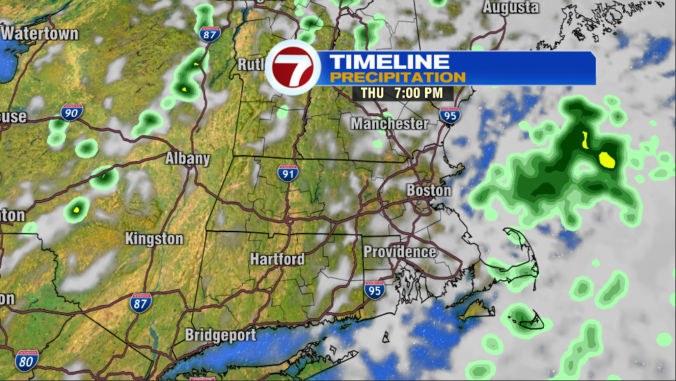
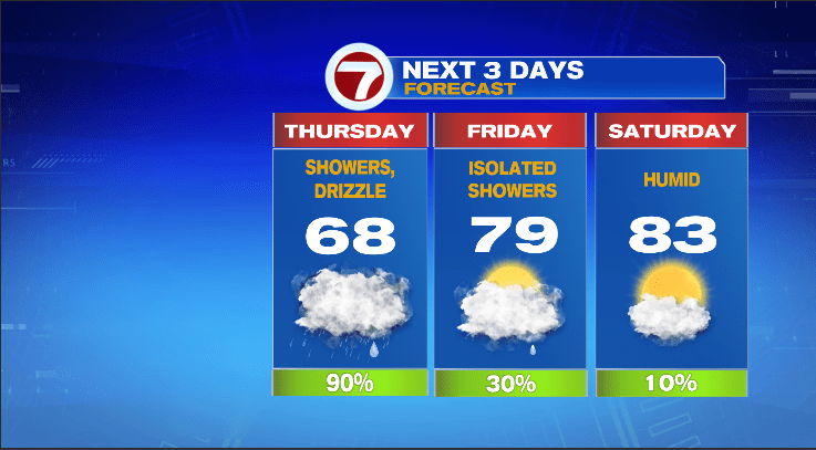
By 7pm Thursday, the vast majority of the rain had ended, leaving just a few isolated sprinkles. These sprinkles will persist throughout the day Friday, but comparatively Friday is much drier than today and Thursday.
Our temperatures will begin to warm starting on Friday.
Once the clouds and rain pull away, warm and muggy air returns to the region. High temperatures in low to mid 80s with minimal rain chances over the weekend and into the start of next week.
~Owen