

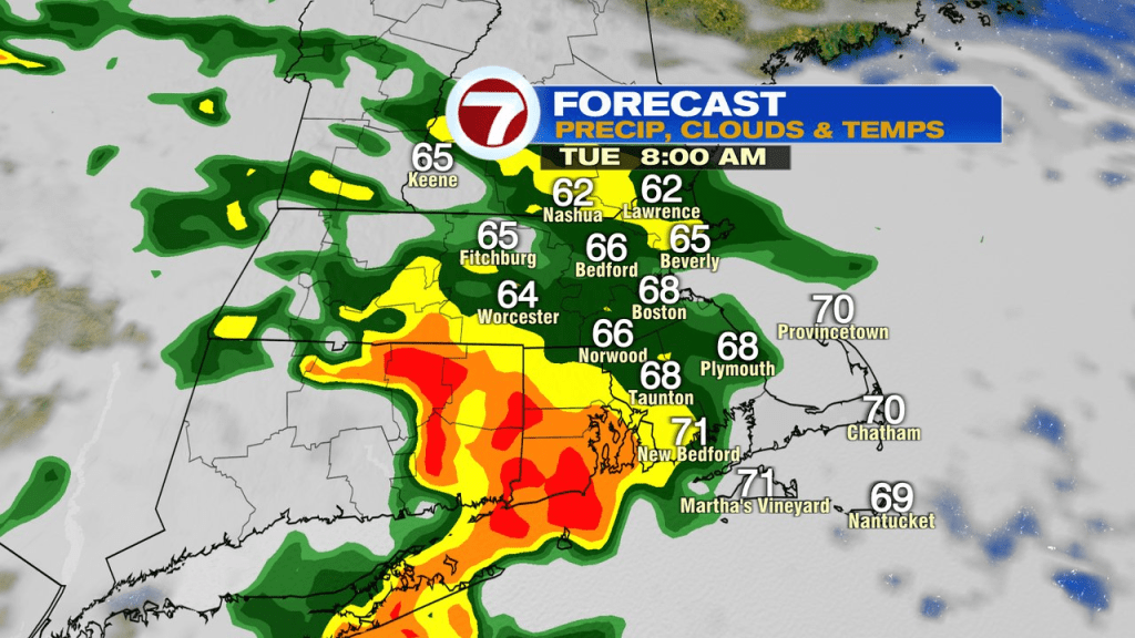
A mild and muggy start to the day will quickly see wet weather move in as showers and a few embedded thunderstorms drop in from our northwest. The most widespread rain is likely mid morning, through early this afternoon (8am – 2pm). Thereafter, showers become more hit or miss with some late afternoon lulls in the action. Many spots pick up near 0.50″ of rain with localized 1.0-1.5″ amounts where embedded downpours line up. Aside from a leftover shower or patchy drizzle, it looks like the bulk of today’s rain is behind us by the time the Sox take the field tonight.
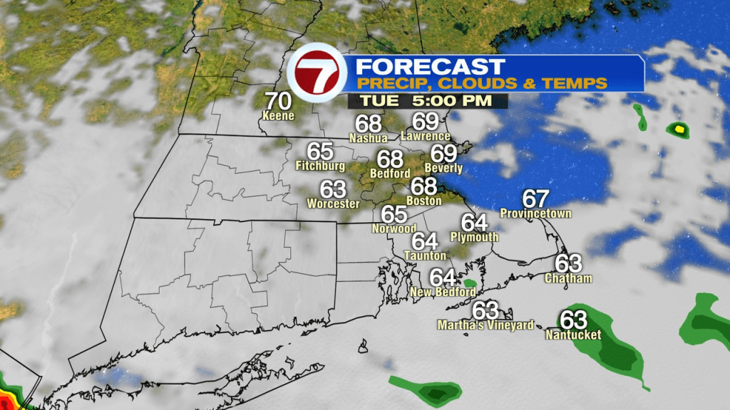
Tonight will be mostly cloudy with patchy fog/drizzle.
Wednesday looks mainly dry with cloudy to partly sunny skies and temps in the low to mid 70s. A spot sprinkle, or patch of morning drizzle can’t be ruled out.
Late Wednesday night into Thursday, we’ll track more scattered showers and storms rolling in. Humidity surges too with dew points near 70. Some locally heavy rain is possible once again with the storms that do form thanks to a lot of water vapor in the air.
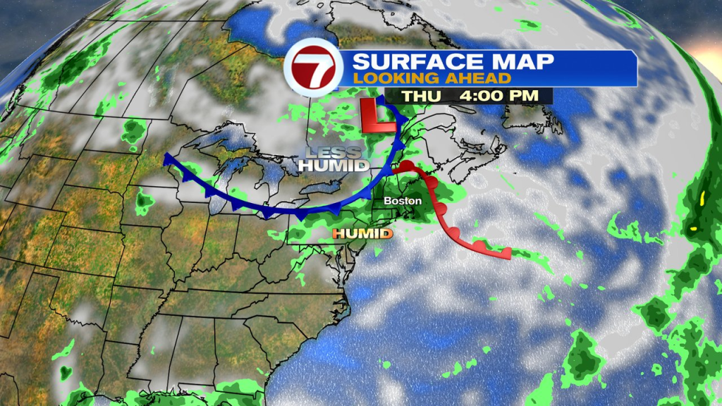
Once the front clears the coast Thursday night, we’ll shut the rain chances off.
Friday looks good, near 80 with the humidity lower than Thursday.
Labor Day Weekend…. Mainly dry, 70s, humidity in check. A few instability pop-up showers are possible Saturday with cold air aloft driving instability, but atmospheric moisture is limited, so I still expect a lot of dry hours then.
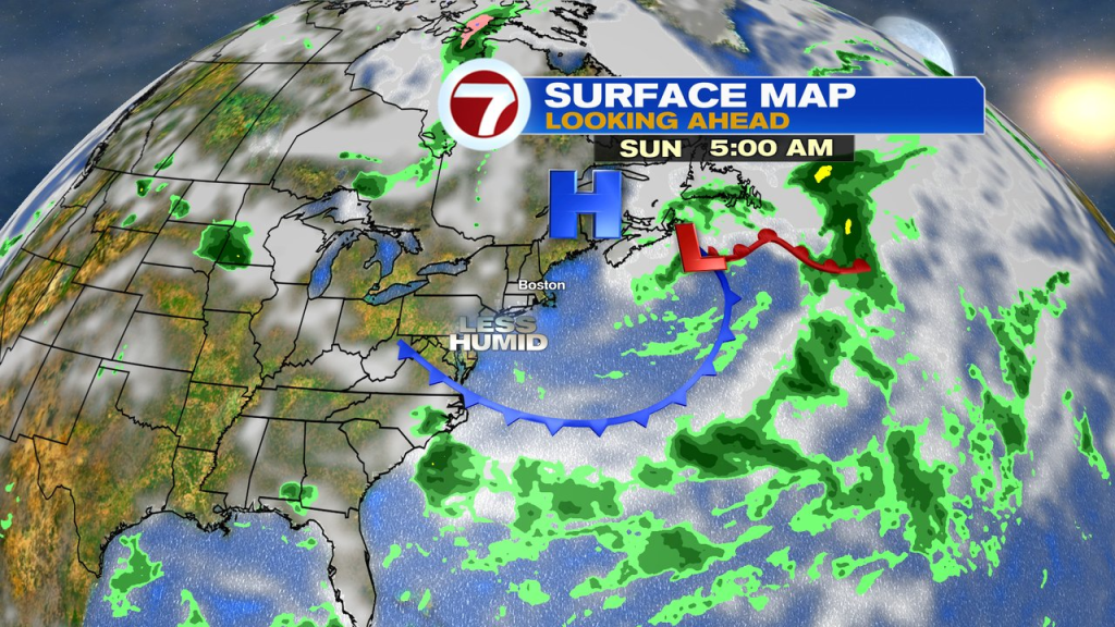
It’ll be a bit breezy Saturday and Sunday across the Southeast Mass coast. Monday is a bit warmer, mid 70s to near 80.