

No doubt about it, this storm is here and we’re feeling the impacts.
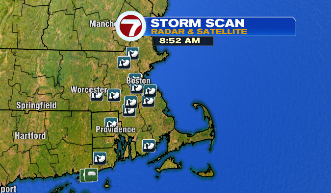
We’ve already had reports of trees and power lines down, as well as plenty of power outages since the winds started to howl.

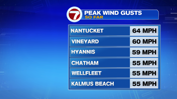
On that note, our peak wind gusts have been up into the 50s and 60s, for the Cape and Islands in particular.
The biggest issue with this storm, perhaps, is that we still have a long way to go. This is a long-duration event, and with that we see the issues piling up over a couple of days.
The gustiest winds will continue through the day today, before finally tapering off on Sunday morning. Don’t get me wrong– we’ll still be windy Sunday, but the wind won’t be quite as strong as it is right now or will be throughout the day. Gusts on the coast look like they’ll remain in the 45-60mph range, while gusts inland will largely be in the 30s and 40s (higher elevation areas, like the Worcester Hills, for example, will see those numbers in the 40s more often).
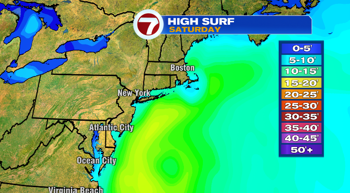
Coastal flooding remains a concern today as well, particularly around high tide. We’ll see high tide between 11AM and 12PM this morning/afternoon, and again around midnight.
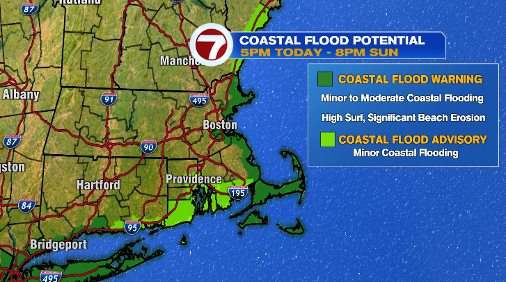
Between the heightened tides (full moon tonight) and the heightened waves, the potential of minor to moderate flooding is certainly there from the North Shore down to the Cape/Islands. The South Coast has a minor flooding risk as well.
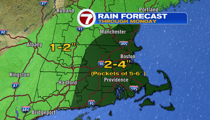
On top of all of this, the rain is still coming down. However, the rainfall may be the only category in which the long duration of this storm is actually a good thing. While rainfall will total 2-4″ for most (with some pockets of 5″+ possible), that rain being spread out over a few days prevents rainfall-related flooding.
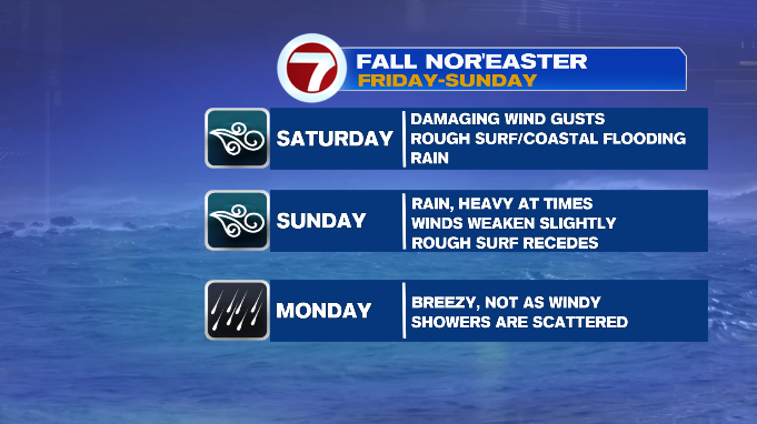
That said it’ll still be quite soggy today and Sunday as well. Rain tapers to showers by Monday, before really moving on by Tuesday.
For whatever it’s worth, temperatures stay cool– in the upper 50s and low 60s, throughout the course of this storm.
Monday, we’ll still have scattered showers and a stiff breeze at times, but both factors will be much more limited than Friday/the weekend. Temperatures will be in the upper 50s and low 60s.
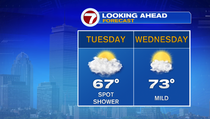
Tuesday, we’ll be mostly cloudy, though clouds decrease just a touch. A stray shower is still possible, though we’ll stay mainly dry and milder as well with temperatures in the mid to upper 60s. By Wednesday, we’ll see even more sunshine and temperatures into the low 70s.