

We’re waking up to showers and clouds this morning, but there’s more sunshine on the way!
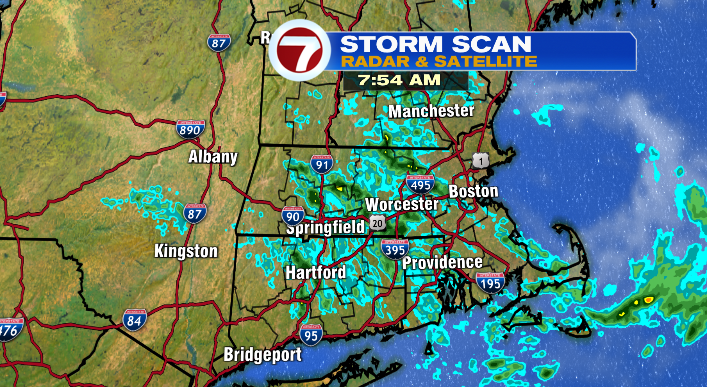
The showers will hang around through the mid-morning, but taper off by noon. The clouds start to part at that point as well, leaving us with a partly to mostly sunny second half of the day. It’ll be a dry, fall-like feel later today as well. The air will be crisp, and temperatures will be even cooler than yesterday!
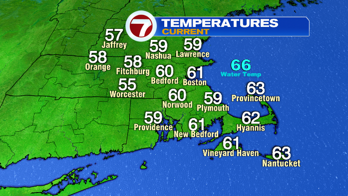
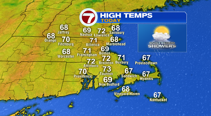
We’re starting out in the 50s and 60s, and we’ll only be in the mid to upper 60s and low 70s this afternoon, so despite the sunshine, you may find yourself reaching for a sweatshirt.
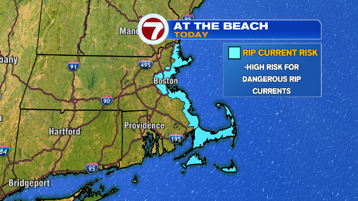
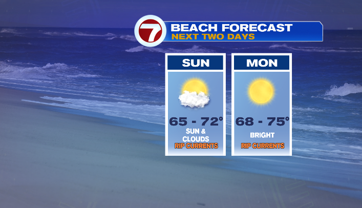
If you’re unconcerned about the cooler temperatures and heading to the beach for a swim regardless, I give you credit, but also a note of warning! We have a high risk for rip currents today, especially for east-facing beaches.
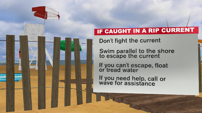
Hopefully you’ll never need to use this info, but just in case: if you ever get caught in a rip current, make sure you swim parallel to the shoreline to get out of it. You do NOT want to swim against the current– don’t try to battle against Mother Nature!
Tomorrow, we still have a rip current risk for our east-facing beaches, but the risk becomes moderate. Still, use caution if you’re heading to the beach… especially considering Labor Day is the nicest beach day of the three-day weekend.
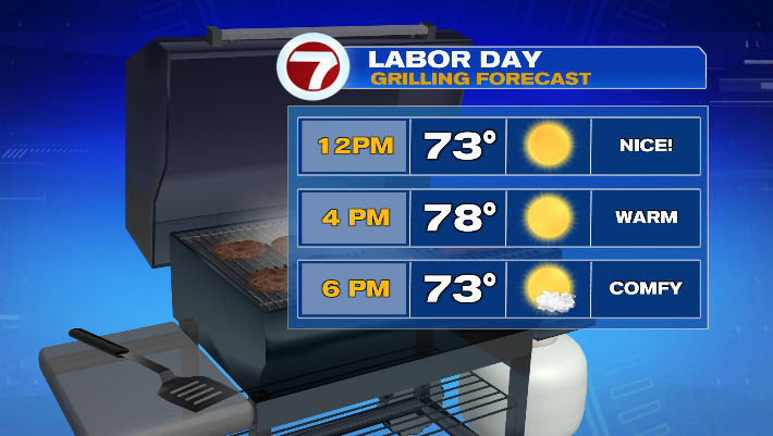
We’ll be mostly sunny tomorrow, and feel much more like summer! Temperatures will be in the low to mid 70s for the coast, and mid to upper 70s inland. It won’t feel like mid-July, but it will feel, at least, average for this time of year.
We’ll keep the sunshine around on Tuesday as well, with temperatures largely in the upper 70s and low 80s! Not bad if you took an extra day off.
Our next chance of rain is Wednesday evening, where we could see showers and perhaps a thunderstorm. Showers will linger into Thursday morning before the sky clears out for the end of the week.