


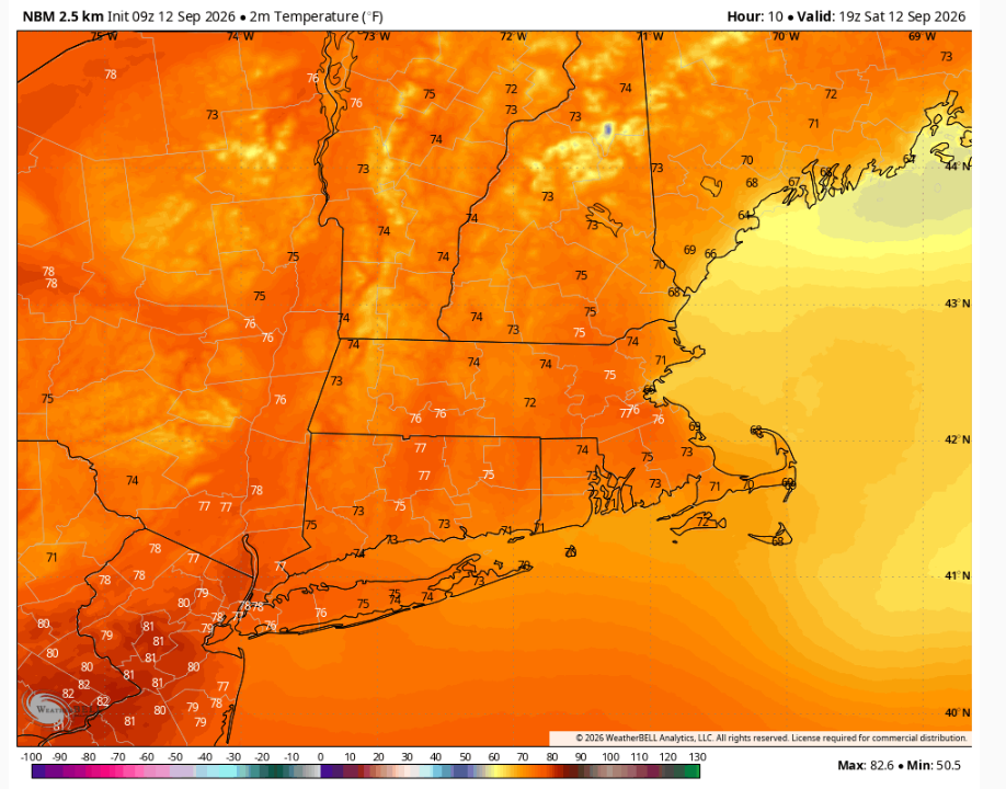
We have a cool but sunny start to our Saturday! Many of us woke up to temperatures in the 40s, and are now seeing the numbers climb through the 50s. By this afternoon, expect temperatures to wind up in the mid to upper 70s, while the coast remains in the low 70s. With dew point temperatures in the 40s and 50s, it’ll be a dry, fall-feeling day.
Clouds will increase later in the day… and those clouds are the precursor to our next storm, which arrives before dawn Sunday morning.
We’ll start with showers and perhaps a rumble of thunder between 3-6 AM, before more widespread and heavier rain. Expect rounds of shower and downpours, as well as a rumble of thunder or two as well. Put simply: the first half of the day looks like a wash– the kind of day that merits a cozy blanket and a good book (or a Today in New England marathon… just sayin’).
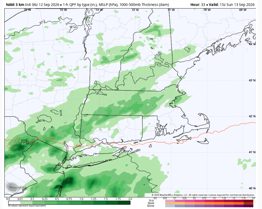
We do have an additional issue in southeastern Massachusetts: the potential of flooding. We have a Flood Watch from late tonight through Sunday afternoon as bands of heavy rain could lead to some minor flooding in low-lying areas, areas with a lot of concrete, and areas of poor drainage. Be mindful if you have to get in the car tomorrow– never drive over a flooded road!
The rain tapers off throughout the afternoon, but it will really take until 3-5PM for you to see dry weather. The farther east you live, the longer it takes.
We could see a last shower or two early Monday morning (not far from sunrise), but the rest of Monday looks dry and comfortable! It’ll be breezy with gusts in the 20s, but temperatures will be in the low to mid 70s and we’ll have plenty of sunshine by the late morning as well.
Tuesday, while cooler (temps in the upper 60s/low 70s), looks gorgeous as well. With cool, dry weather and plenty of sun, it’ll feel like a bright fall day!