
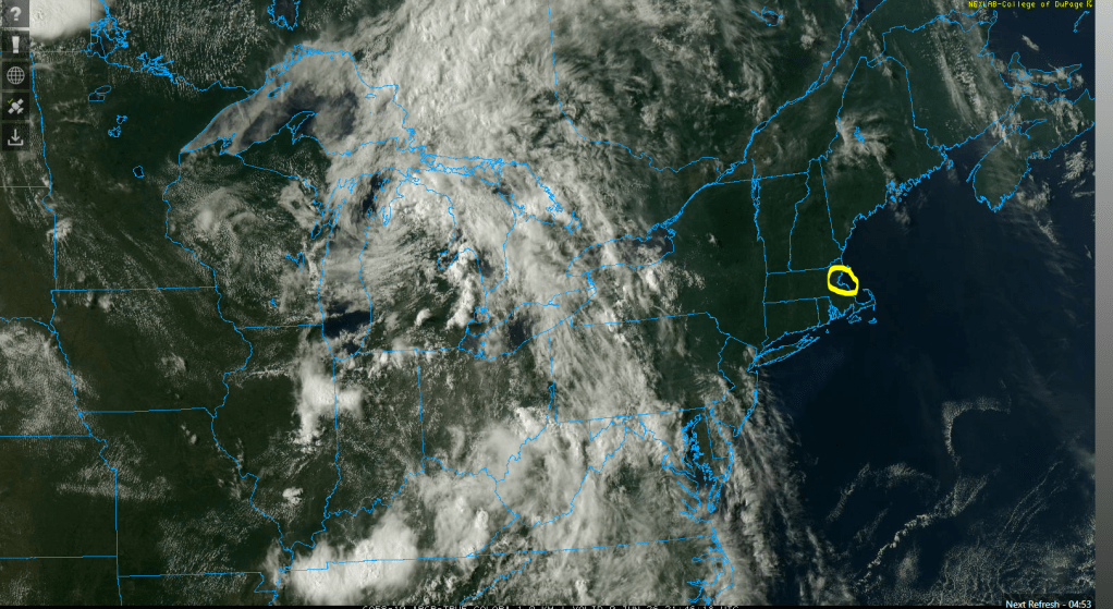
What.A.Day! Deep blue skies, warm temps and little to no humidity! Visible satellite shows just how clear the us was across New England (the yellow circle is metro Boston)…
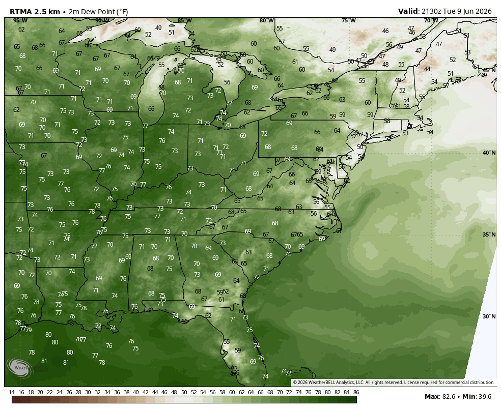
Farther west, a different sky from below and above…lots of clouds and they are on the move! These clouds mark the difference in air–higher humidity! The best way to see that higher humidity this time of year is through the use of a dew point map:
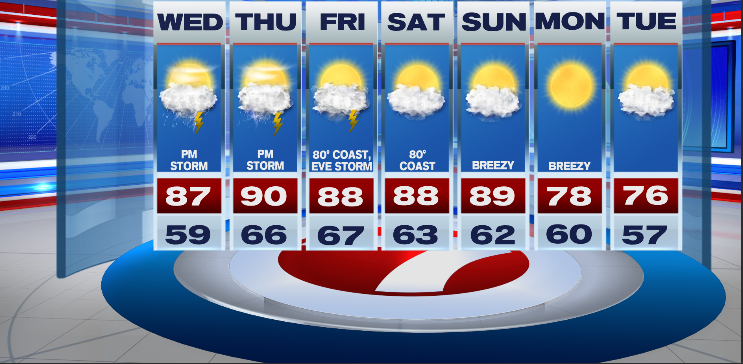
That higher humidity will slowly begin to move into New England during the day Wednesday. The clouds will show up a bit quicker. Tomorrow offers a mix of clouds and sunshine with the emphasis on sunshine before 2pm. Despite more clouds around during the afternoon hours, temps will still be able to climb into the mid-upper 80s and with building humidity it may feel hotter than the upper 80s. In terms of rain, with a little more humidity in the atmosphere along with an advancing warm front, comes the risk of a late day shower or t-storm but we’re only talking about 30%. Most towns will avoid the rain/lightning.
For Thursday, it will be humid and hot. Temps should be able to approach 90 by afternoon and with that dang humidity it will feel hotter. Once again, An afternoon shower or t-storm is possible but widespread outdoor disruption is unlikely. Friday may also produce a pop-up storm late day-early evening but minimal outdoor disruption is anticipated.
As of press time, the weekend is looking dry and warm. Let’s hope it holds!
Summer sun. Great for the beaches, lakes and pools!
~JR