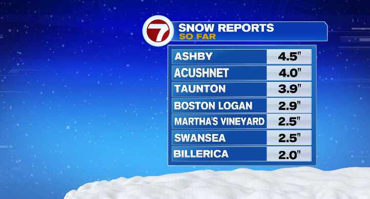
Good Saturday morning! It’s a beautiful sight out there this morning, with light, fluffy snow blanketing the state. Most of us are waking up to 2 to 4 inches. The good news? It’s very easy to clean up due to the fluff factor from how cold it was overnight.
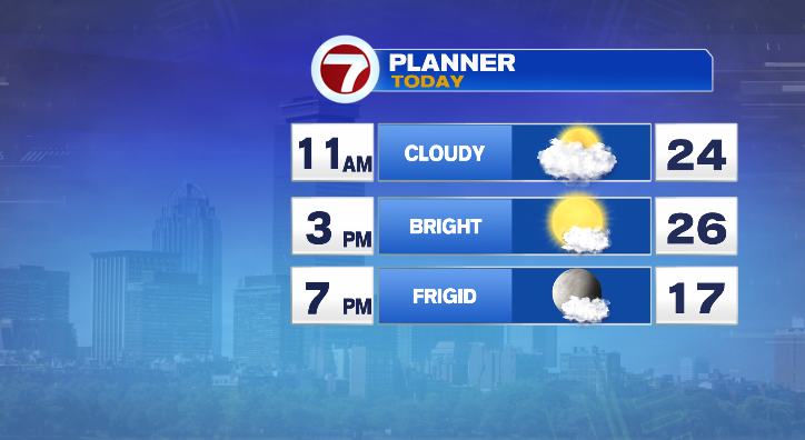
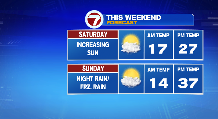
The rest of the day the snow will continue to taper off. Skies will brighten as the day goes on, but it’ll continue to be bitter cold. Highs will only reach the mid to upper 20s, but at least it won’t be too breezy.
Your Sunday will be quiet. We start off cold in the teens but at least we’ll hit the upper 30s in the afternoon! Skies will do the opposite: we start bright but clouds roll in as the day progresses.
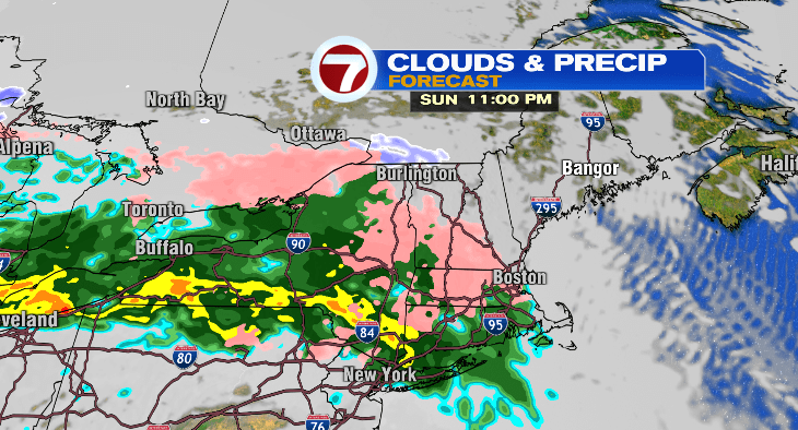
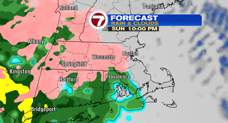
Our next round of tricky weather comes Sunday night after 9 p.m. We’re watching the risk for some freezing rain that will taper off from the south to the north overnight, being filled in by plain rain showers overnight into Monday.
We’ll switch to plain rain by early Monday morning, but icy spots may linger a bit longer into the early morning commute.
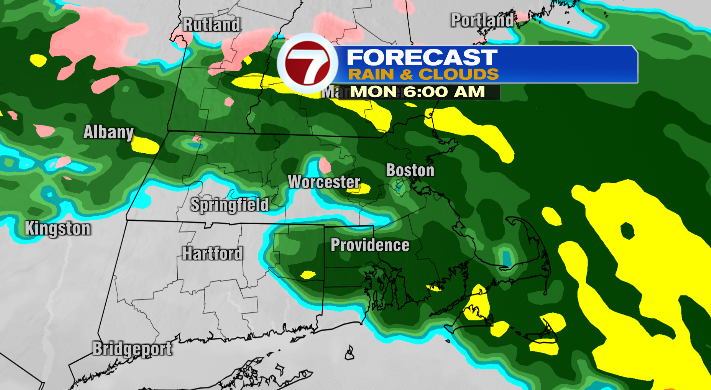
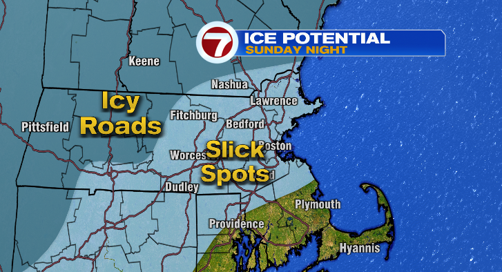
Most locations will be above freezing by the morning commute, but there may be some lingering ice in far northern and western Worcester County, and southwestern New Hampshire.
The rest of Monday we’ll continue to see rain showers and warm up significantly to the mid to upper 40s. We go from near 50 to the 20s Monday night, though, meaning any lingering water on the roads will freeze up. There will be slick spots on the roads as a result for the Tuesday morning commute, so take it slow once again. The rest of Tuesday: 20s, partly sunny and windy. Wednesday, partly sunny lows near 20 with highs in the low 30s with breezy conditions.
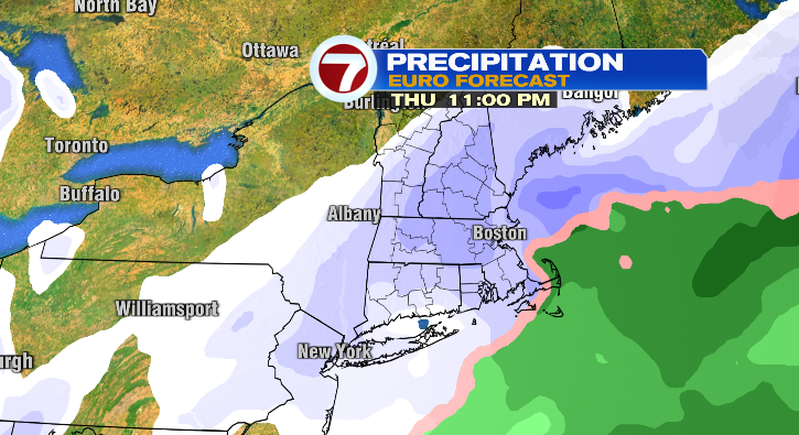
We’re watching the potential for some snow on New Year’s Day for Thursday! Stay tuned.