

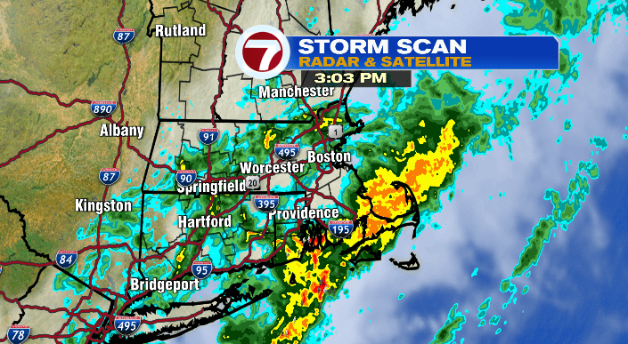
It’s been a soaker of a Friday, especially for areas of southeastern Massachusetts. Many towns have already seen well more than an inch of rain, other more than 2″, and we’re not done yet.
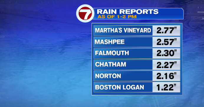
We’ll see the numbers continue to add up, especially southeast of I-95 (where we could see totals of 3″+).
Areas north and west of 95 will still be in and out of showers, and even some pockets of heavy rain. But SE MA sees more consistent rainfall through the rest of the day in comparison.
We’ve also had reports of flash flooding in areas of SE MA where the rain has been heaviest, and we do have a Flood Watch in place until Saturday morning when heavy rain recedes and we’re left with scattered showers.
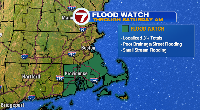
The areas most susceptible to flooding will be low-lying roadways and parking lots, as well as areas of poor draining (something to really be mindful of considering all the leaves on the ground this time of year — material that could easily block drains). On that note, be vigilant behind the wheel even when it’s not pouring– wet leaves and wet roads are a bad combo!
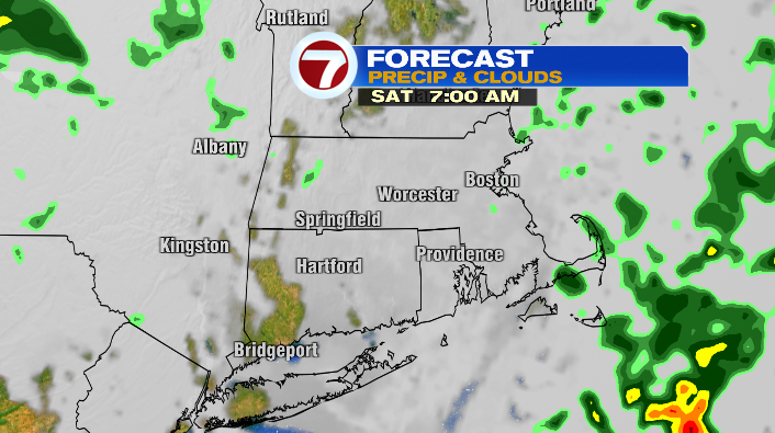
As mentioned, we’ll see the last scattered showers associated with this front tomorrow morning, particularly for the coast. We’ll get a bit of a break in the afternoon. While it’ll still be cloudy for most, it’ll be dry.
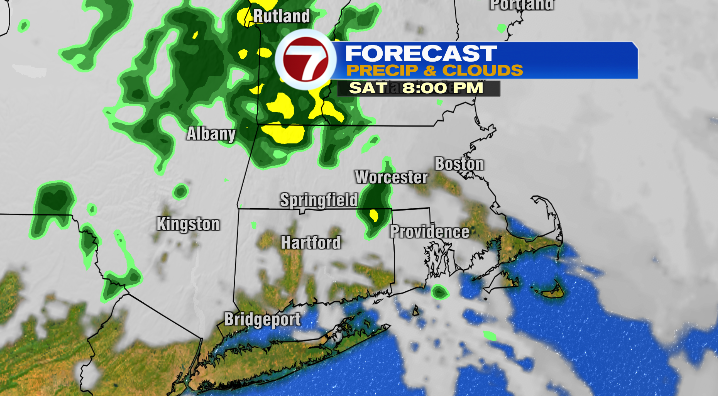
However, as an area of low pressure in the upper atmosphere (the driving force behind our weather the next two days) moves east, we’ll see a renewed round of showers Saturday night and Sunday morning.
This round of showers will be much more scattered, and far less heavy than what we’ve had today. That said, it’s another occasion to pull out the umbrella if you really don’t want to get wet.
As far as temperatures go, tonight will only wind up in the mid 50s (more or less where our highs should be this time of year) as the mild air stays put and clouds do too. Tomorrow afternoon will be considerably cooler than the last two afternoons have been– expect highs in the mid to upper 50s– much closer to a typical November day here in Massachusetts.
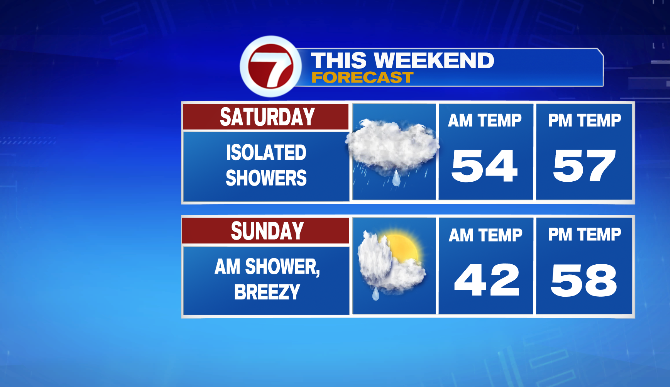
Sunday will also be in the mid to upper 50s. After the last of the morning showers fade, the clouds start to break in the second half of the day. This will lead to a partly sunny end of the day, though it’ll be a breezy end of the day as well.
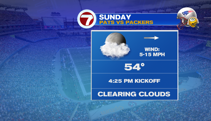
Keep that in mind if you’re headed to Gillette to watch the Pats take on the Packers. It’ll still be breezy during kickoff at 4:25PM. It’ll also be almost dark, with sunset at 4:30PM, and while temps at the start of the game will be in the low 50s, we’ll be in the 40s for the second half of the game. Bundle up appropriately!
We’re back to a mix of clouds and sun for the beginning and middle of this coming week, with temperatures largely remaining seasonably cool in the 50s during the afternoons.